GOES
Overview
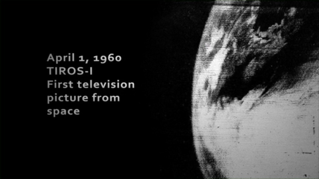
GOES (Geostationary Operational Environmental Satellites) is a joint mission between NOAA and NASA. GOES-1 was launched in October of 1975 providing weather forecasters with a one-of-a-kind view of Earth. Since then, each generation of GOES satellites improved allowing for a near real-time view of the Western Hemisphere.
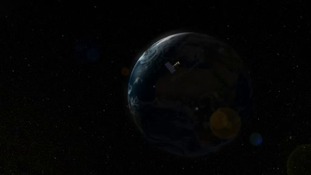
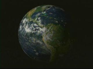
GOES satellites orbit 22,236 miles above Earth’s equator, at speeds equal to the Earth's rotation. This allows them to maintain their positions over specific geographic regions so they can provide continuous coverage of that area over time.
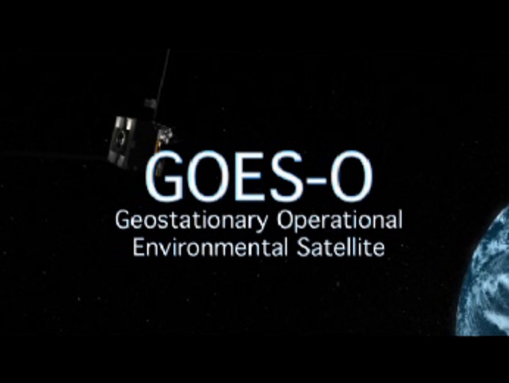
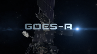
The GOES-R series of satellites, designated with a letter during development and renamed with a number after reaching geostationary orbit, have transformed NOAA’s geostationary weather monitoring capabilities.
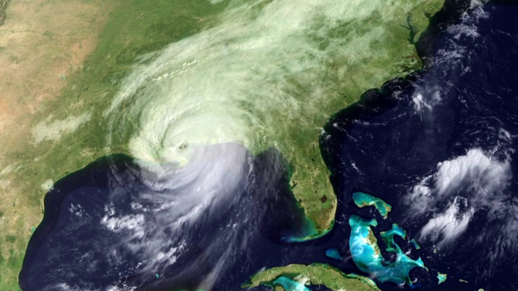
GOES-R (now GOES-16) launched in 2016 and operates as NOAA’s GOES East satellite. GOES-S (now GOES-17), launched in 2018 and serves as an on-orbit backup. GOES-T (now GOES-18) launched in 2022 and is NOAA’s operational GOES West satellite. The final satellite in the series, GOES-U (GOES-19), was launched on June 25, 2024, and is slated to replace GOES-16 in the GOES East position by spring 2025.
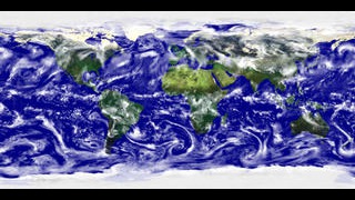
Together, GOES East and GOES West watch over more than half the globe — from the west coast of Africa to New Zealand and from near the Arctic Circle to the Antarctic Circle.
The GOES-R Program is a collaborative effort between NOAA and NASA. NASA builds and launches the satellites for NOAA, which operates them and distributes their data to users worldwide.
GOES-R Series
- ID: 10936 Produced Video

GOES-R Series Resource Reel
Go to this pageThe new generation GOES-R satellites will carry significant improvements and technology innovation on board. GOES-R will be able to deliver a full globe scan in only 5 minutes, compared to the 25 minutes needed for the same task with the current GOES satellites. GOES-R's lightning mapper instrument is expected to improve warning lead time for severe storms and tornadoes by 50%. This without a doubt will help predict severe weather in advance and save more lives. This reel is a compilation of finished productions about the GOES-R mission as well as supporting materials such as animations, visualizations, and still images. ||
- ID: 11724 Produced Video

Building the Nation's Newest Weather Satellite
Go to this pageBuilding the Nation's Newest Weather Satellite movie.For complete transcript, click here. || Screen_Shot_2015-01-06_at_4.45.35_PM.png (1908x1072) [712.6 KB] || Screen_Shot_2015-01-06_at_4.45.35_PM_searchweb.png (320x180) [31.5 KB] || Screen_Shot_2015-01-06_at_4.45.35_PM_web.png (320x179) [31.5 KB] || Screen_Shot_2015-01-06_at_4.45.35_PM_thm.png (80x40) [6.2 KB] || NASA_SYWTBAS_GOES_R_master_appletv.webm (960x540) [13.6 MB] || NASA_SYWTBAS_GOES_R_master_youtube_hq.mov (1920x1080) [83.5 MB] || NASA_SYWTBAS_GOES_R_master_appletv.m4v (960x540) [46.2 MB] || NASA_SYWTBAS_GOES_R_master_1280x720.wmv (1280x720) [51.8 MB] || NASA_SYWTBAS_GOES_R_master_prores.mov (1280x720) [656.7 MB] || NASA_SYWTBAS_GOES_R_master_appletv_subtitles.m4v (960x540) [46.1 MB] || NASA_SYWTBAS_GOES_R_master_ipod_lg.m4v (640x360) [20.1 MB] || NASA_SYWTBAS_GOES_R_master_nasaportal.mov (640x360) [38.7 MB] || NASA_SYWTBAS_GOES_R_master.en_US.vtt [2.8 KB] || NASA_SYWTBAS_GOES_R_master.en_US.srt [2.8 KB] || NASA_SYWTBAS_GOES_R_master_ipod_sm.mp4 (320x240) [10.4 MB] ||
- ID: 12870 Produced Video
GOES-S in Space Covers the Western US
Go to this pageGOES-S is the latest in a series of new weather satellites, a powerful asset in the nation's fleet. It is part of of the Geostationary Operational Environmental Satellite (GOES) – R Series. These are the nation’s most advanced in terms of geostationary weather satellites. The GOES-R Series significantly improves the detection and observation of environmental phenomena that directly affect public safety, protection of property and our nation’s economic health and prosperity.The satellites provide advanced imaging with increased spatial resolution and faster coverage for more accurate forecasts, real-time mapping of lightning activity, and improved monitoring of solar activity and space weather.The GOES-R Series is a four-satellite program (GOES-R/S/T/U) that will extend the availability of the operational GOES satellite system through 2036. || GOESR_Conceptual_3_V2_print.jpg (1024x576) [129.2 KB] || GOES-S_FINAL_DRAFT_twitter_720.00537_searchweb.png (320x180) [33.2 KB] || GOES-S_FINAL_DRAFT_twitter_720.00537_thm.png (80x40) [3.6 KB] || GOES-S_FINAL_DRAFT.mov (1920x1080) [4.7 GB] || GOES-S_FINAL_DRAFT.webm (960x540) [142.6 MB] || GOES-S_FINAL_DRAFT_facebook_720.mp4 (1280x720) [424.6 MB] || GOES-S_FINAL_DRAFT_twitter_720.mp4 (1280x720) [86.7 MB] || GOES-S_FINAL_DRAFT_youtube_1080.mp4 (1920x1080) [580.4 MB] || GOES-S_FINAL_DRAFT_youtube_720.mp4 (1280x720) [553.5 MB] || GOES-S_FINAL_DRAFT_twitter_720.webm (1280x720) [39.0 MB] || GOES-S_FINAL.en_US.srt [6.9 KB] || GOES-S_FINAL.en_US.vtt [6.9 KB] ||
- ID: 12863 Produced Video
Faster Weather Tracking On The Way. Feb. 23 Live Shots About Upcoming Launch Of GOES-S
Go to this pageB-roll to be added Thursday, Feb. 22nd at 6:00 p.m. ET || GOESR_SpaceShot1_V2-2.png (1920x1080) [3.7 MB] || GOESR_SpaceShot1_V2-2_print.jpg (1024x576) [107.4 KB] || GOESR_SpaceShot1_V2-2_searchweb.png (320x180) [92.5 KB] || GOESR_SpaceShot1_V2-2_thm.png (80x40) [6.7 KB] ||
- ID: 14073 Produced Video
![GOES-T Overview and Upcoming Launch Music: "Spacey Wave," by JC Lemay [SACEM]; Koka; Universal Production MusicAdditional footage provided by Lockheed Martin](/vis/a010000/a014000/a014073/GOEST_Overview_FINAL.01901_print.jpg)
GOES-T Overview and Beauty Shots
Go to this pageGOES-T Overview and Upcoming Launch Music: "Spacey Wave," by JC Lemay [SACEM]; Koka; Universal Production MusicAdditional footage provided by Lockheed Martin || GOEST_Overview_FINAL.01901_print.jpg (1024x576) [161.9 KB] || GOEST_Overview_FINAL.01901_searchweb.png (320x180) [98.2 KB] || GOEST_Overview_FINAL.01901_thm.png (80x40) [7.2 KB] || GOEST_Overview_FINAL_VX-319617_lowres.mp4 (1280x720) [50.4 MB] || GOEST_Overview_FINAL_VX-319617_lowres.webm (1280x720) [20.7 MB] || GOEST_Overview_FINAL_1080p.mp4 (1920x1080) [230.5 MB] || GOEST_Overview_FINAL_720p.mp4 (1280x720) [229.7 MB] || GOEST_Overview_FINAL.en_US.srt [3.8 KB] || GOEST_Overview_FINAL.en_US.vtt [3.6 KB] || GOEST_Overview_FINAL.mp4 (3840x2160) [915.1 MB] || GOEST_Overview_FINAL.mov (3840x2160) [15.2 GB] ||
- ID: 14084 Produced Video
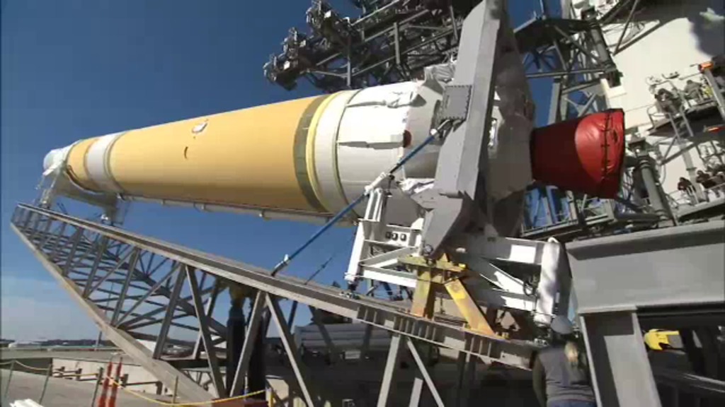
NOAA and NASA Ready to Launch Crucial New Earth-Observing Satellite Live Shots
Go to this pageQuick link to EDITED B-ROLLQuick link to GOES-T resource pageQuick link to canned interview with NOAA GOES-R Program Chief of Staff Kevin Fryer || 32ABE9D9-BE05-487C-93CD-A1BA183FB9CE_1_105_c.jpeg (1399x561) [292.0 KB] || 32ABE9D9-BE05-487C-93CD-A1BA183FB9CE_1_105_c_print.jpg (1024x410) [166.8 KB] || 32ABE9D9-BE05-487C-93CD-A1BA183FB9CE_1_105_c_searchweb.png (320x180) [115.6 KB] || 32ABE9D9-BE05-487C-93CD-A1BA183FB9CE_1_105_c_thm.png (80x40) [8.5 KB] ||
- ID: 14554 Produced Video
![Music: “Potential Energy” by Andy Blythe [PRS] and Marten Joustra [PRS]; Flexitracks; Universal Production Music“The Unexplained” by Daniel Burrows [PRS], Daniel Mallender [PRS], and Thomas Richard Hill [PRS]; BBC Production Music; Universal Production MusicComplete transcript available.](/vis/a010000/a014500/a014554/GOESU_MissionOverview_Short_FINAL_UHD.01417_print.jpg)
GOES-U Overview
Go to this pageNOAA’s GOES-U is the fourth and final satellite in the Geostationary Operational Environmental Satellites (GOES) – R Series,the Western Hemisphere’s most sophisticated weather-observing and environmental-monitoring system. The GOES-R Series provides advanced imagery and atmospheric measurements, real-time mapping of lightning activity, and monitoring of space weather.GOES-U will be renamed GOES-19 after it reaches geostationary orbit. Following a successful on-orbit checkout of its instruments and systems, NOAA plans to put GOES-19 into operational service, replacing GOES-16 as GOES East. GOES-19 will work in tandem with GOES-18, NOAA’s GOES West satellite. Together, GOES East and GOES West watch over more than half the globe – from the west coast of Africa to New Zealand. ||
- ID: 14602 Produced Video

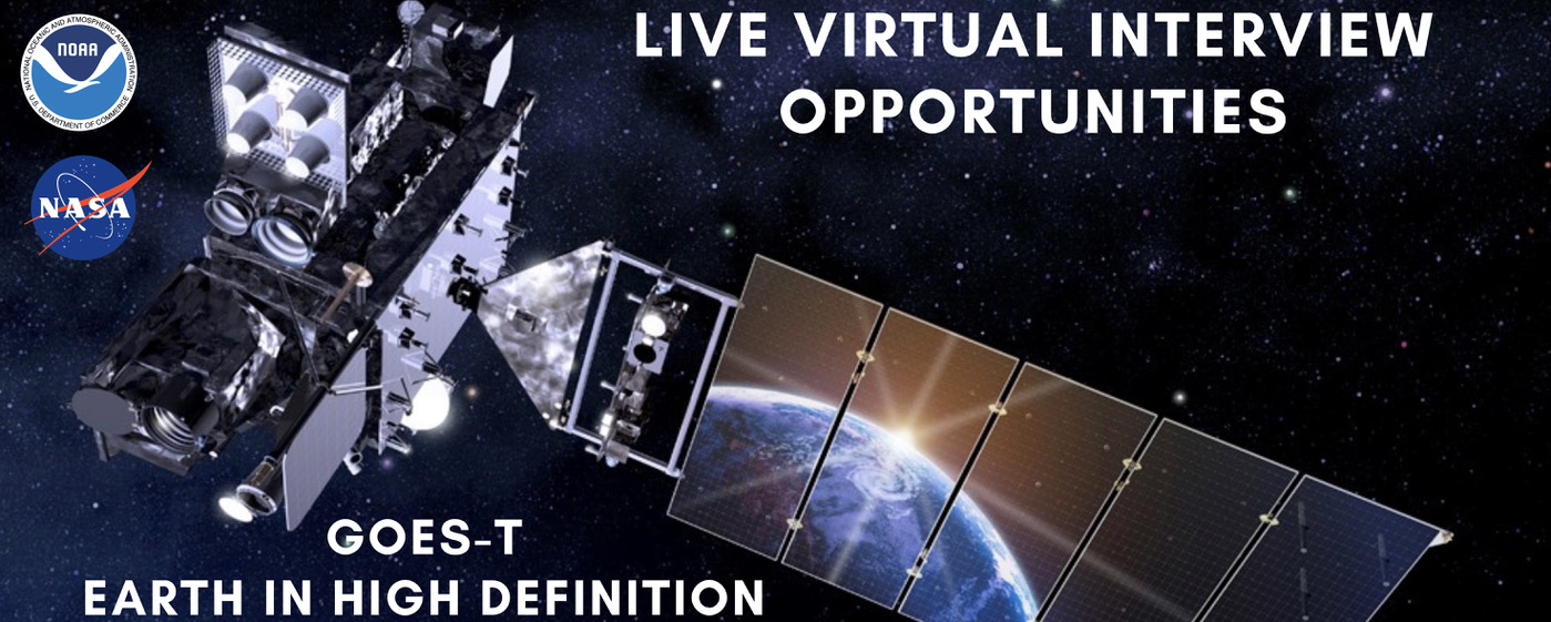
NOAA Interview Opportunity: Ready to GOES! NOAA’s Latest GOES Weather Satellite Ready To Launch Next Week!
Go to this pageJoin a NOAA expert on June 25, 2024 to celebrate the launch of the next and final installment of the GOES weather satellite series!From Earth weather to space weather, NOAA’s fleet of geostationary satellites play an important role in our everyday lives. And on June 25th, the fourth and final installation of the GOES-R series is set to launch from NASA’s Kennedy Space Center. As the final satellite in NOAA’s GOES-R (Geostationary Operational Environmental Satellites) series, GOES-U will continue to provide fast, clear and reliable weather-tracking information. GOES-U will provide real-time data for monitoring severe weather, hurricanes, wildfires, floods, fog and even lightning. Not only that, GOES-U carries a suite of instruments, including the first operational compact coronagraph, to monitor the Sun and warn us of approaching space weather hazards. A coronagraph is an instrument that blocks out the bright disk of the Sun so that researchers can see our star’s fainter outer atmosphere where much of the solar activity originates. This new coronagraph will better detect and characterize coronal mass ejections. The GOES series of weather satellites are parked in a geostationary orbit at points over the equator and rotate at the same speed as the Earth. The fixed location provides continuous coverage of weather conditions across the Western hemisphere. Once in orbit GOES-U will be renamed GOES-19. After an on-orbit check out to ensure its instruments and systems are working properly, GOES-19 will go into service as GOES-East, replacing GOES-16. In this location, GOES-19 will watch over most of North America, including the contiguous United States and Mexico, as well as Central and South America, the Caribbean, and the Atlantic Ocean to the west coast of Africa. Live interviews are available June 25, 2024, between 6 a.m. - 1 p.m. EDT Click here to request an interview: https://forms.gle/ny5wyq2mP52hQcyu7 Requests sent via the above form will have scheduling priority. Please do not email requests. Find out more about GOES and other NOAA missions here @NOAASatellites and https://www.nesdis.noaa.gov/goes-uSuggested Anchor Intro:The nation’s most advanced fleet of weather satellites is about to get an update. Later today the fourth and final installation of NOAA’s GOES-R series will launch from NASA’s Kennedy Space Center. The new satellite, named GOES-U, will join the fleet that helps keep us safe here on the ground and in space. Welcome NOAA expert XX live from Cape Canaveral where GOES-U will launch in just a few hours.Suggested Questions:1. What is the GOES-U mission and why is it important? 2. GOES-U is the final installment in the series and we hear it has a new instrument on board that will be focused on space weather from the Sun. Can you tell us about this new instrument? 3. Here in our area, we’re particularly concerned about ______. How will GOES-U help forecasters better predict these types of extremes? [stations choice]: Wildfire and smoke monitoring and tracking Hurricane & storm tracking Lightning trackingFlooding4. What are you most excited about with the GOES-U launch?5. How can viewers watch the launch today and keep up to date on this mission? Questions for longer interviews: 6. What's next after GOES-U? What does NOAA have planned?7. Once GOES-U is launched, where will it be positioned in orbit?8. What is a geostationary orbit, and why is it used for the GOES satellites? ||
- ID: 14108 Produced Video
![Music: “Enduring Faith,” by Frederik Wiedmann [BMI]; Icon Trailer Music; Universal Production MusicAdditional GOES-T Footage Courtesy of:Lockheed MartinAdditional Wildfire Footage:CALFIRE_Official/flickr under CC BY-NC 2.0National Interagency Fire CenterCALFIRE_Official/Alaska Fire Service/flickr](/vis/a010000/a014100/a014108/14108_WildfireDetectionandMonitoring_FINAL.03921_print.jpg)
GOES Satellites Wildfire Detection and Monitoring
Go to this pageMusic: “Enduring Faith,” by Frederik Wiedmann [BMI]; Icon Trailer Music; Universal Production MusicAdditional GOES-T Footage Courtesy of:Lockheed MartinAdditional Wildfire Footage:CALFIRE_Official/flickr under CC BY-NC 2.0National Interagency Fire CenterCALFIRE_Official/Alaska Fire Service/flickr || 14108_WildfireDetectionandMonitoring_FINAL.03921_print.jpg (1024x576) [140.5 KB] || 14108_WildfireDetectionandMonitoring_FINAL.03921_searchweb.png (320x180) [95.6 KB] || 14108_WildfireDetectionandMonitoring_FINAL.03921_thm.png (80x40) [6.5 KB] || 14108_WildfireDetectionandMonitoring_FINAL_720.mp4 (1280x720) [52.9 MB] || 14108_GOEST_WildfireDetectionandMonitoring_FINAL_lowres.mp4 (1280x720) [60.4 MB] || 14108_WildfireDetectionandMonitoring_FINAL_720.webm (1280x720) [24.7 MB] || 14108_GOEST_WildfireDetectionandMonitoring_FINAL.mp4 (1920x1080) [142.4 MB] || 14108_WildfireDetectionandMonitoring_FINAL_1080.mp4 (1920x1080) [278.3 MB] || 14108_GOEST_WildfireDetectionandMonitoring_FINAL.en_US.srt [5.1 KB] || 14108_GOEST_WildfireDetectionandMonitoring_FINAL.en_US.vtt [4.9 KB] || 14108_GOEST_WildfireDetectionandMonitoring_FINAL_UHD_YOUTUBE.mp4 (3840x2160) [905.9 MB] || 14108_WildfireDetectionandMonitoring_FINAL.mov (1920x1080) [4.8 GB] ||
- ID: 14756 Produced Video
![Music:“Realms of the Sky” by Frederik Helmut Wiedmann [GMR]; Icon Trailer Music; Universal Production Music“Exoplanet” by Jeff Penny [ASCAP]; Emperia Musicworks; Universal Production Music“Solo Trip” by Nicholas Smith [PRS]; Ideal.e; Universal Production Music“Reaching the Skies” by Ben Hicks [ASCAP]; Emperia Musicworks; Universal Production Music“Aetherion” by Lincoln Dale Davis [BMI]; Emperia Musicworks; Universal Production MusicThis video can be freely shared and downloaded. While the video in its entirety can be shared without permission, some individual imagery provided by FootageFirm.com, Sebolla74/Pond5 and danr13/Pond5 are obtained through permission and may not be excised or remixed in other products. For more information on NASA’s media guidelines, visit https://www.nasa.gov/multimedia/guidelines/index.html](/vis/a010000/a014700/a014756/14756_GOES_50th_FINAL_UHD.00500_print.jpg)
50 Years of GOES
Go to this pageMusic:“Realms of the Sky” by Frederik Helmut Wiedmann [GMR]; Icon Trailer Music; Universal Production Music“Exoplanet” by Jeff Penny [ASCAP]; Emperia Musicworks; Universal Production Music“Solo Trip” by Nicholas Smith [PRS]; Ideal.e; Universal Production Music“Reaching the Skies” by Ben Hicks [ASCAP]; Emperia Musicworks; Universal Production Music“Aetherion” by Lincoln Dale Davis [BMI]; Emperia Musicworks; Universal Production MusicThis video can be freely shared and downloaded. While the video in its entirety can be shared without permission, some individual imagery provided by FootageFirm.com, Sebolla74/Pond5 and danr13/Pond5 are obtained through permission and may not be excised or remixed in other products. For more information on NASA’s media guidelines, visit https://www.nasa.gov/multimedia/guidelines/index.html || YouTubeThumbnail_GOES50th_GOESandEarth.jpg (1920x1080) [1.2 MB] || YouTubeThumbnail_GOES50th_GOESandEarth.png (1280x720) [1.5 MB] || 14756_GOES_50th_FINAL_UHD.00500_print.jpg (1024x576) [167.0 KB] || 14756_GOES_50th_FINAL_UHD.00500_searchweb.png (320x180) [95.9 KB] || 14756_GOES_50th_FINAL_UHD.00500_thm.png [7.4 KB] || 14756_GOES_50th_FINAL_1080.mp4 (1920x1080) [178.6 MB] || 14756_GOES_50th_FINAL_UHD.en_US.srt [6.7 KB] || 14756_GOES_50th_FINAL_UHD.en_US.vtt [6.4 KB] || 14756_GOES_50th_FINAL_1080.en_US.srt [6.7 KB] || 14756_GOES_50th_FINAL_1080.en_US.vtt [6.4 KB] || 14756_GOES_50th_FINAL_UHD.webm (3840x2160) [20.5 MB] || 14756_GOES_50th_FINAL_UHD.mp4 (3840x2160) [684.3 MB] ||
GOES 13 - 15 (GOES-N,O,P)
- ID: 10581
 Produced Video
 - ID: 10575
 Produced Video
 - ID: 10472
 Produced Video
 - ID: 10449
 Produced Video
 - ID: 10450
 Produced Video
 - ID: 10252
 Produced Video
 - ID: 10422
 Produced Video
 - ID: 10413
 Produced Video
 - ID: 10372
 Produced Video
 - ID: 10586
 Produced Video
 - ID: 11715
 Produced Video
 - ID: 10609
 Produced Video
GOES 8 - 12 (GOES-I,J,K,L,M)
- ID: 20149
 Animation
 - ID: 172
 Visualization
 - ID: 3216
- ID: 3230
- ID: 3231
- ID: 3232
- ID: 3233
- ID: 3234
- ID: 3235
- ID: 3236
- ID: 3237
- ID: 3239
 Visualization
 - ID: 3240
 Visualization
 - ID: 3254
- ID: 223
 Visualization
 - ID: 10781
 Produced Video
 - ID: 3479
 Visualization
 - ID: 3438
 Visualization
 - ID: 3282
 Visualization
 - ID: 3251
 Visualization
 - ID: 2894
 Visualization
 - ID: 2895
- ID: 2898
 Visualization
 - ID: 2892
 Visualization
 - ID: 2823
 Visualization
 - ID: 1237
 Visualization
 - ID: 1238
- ID: 1239
- ID: 1240
- ID: 1241
 Visualization
 - ID: 1242
 Visualization
 - ID: 1243
 Visualization
 - ID: 1049
 Visualization
 - ID: 224
- ID: 225
- ID: 226
 Visualization
GOES 4 - 7 (GOES-D, E, F, H)
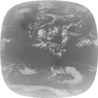
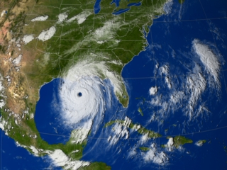
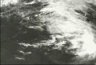
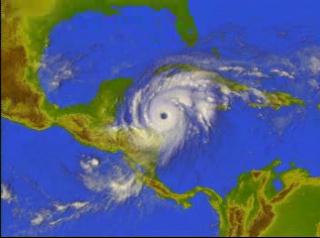
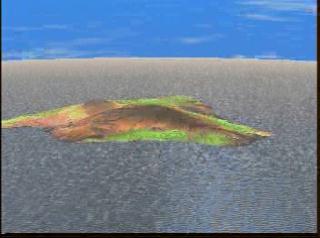
- ID: 1300 Visualization
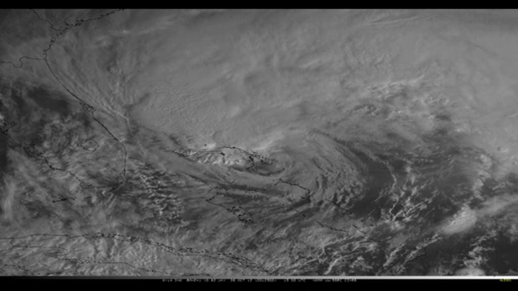
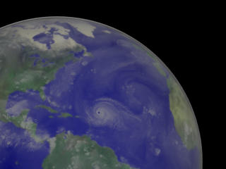
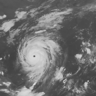
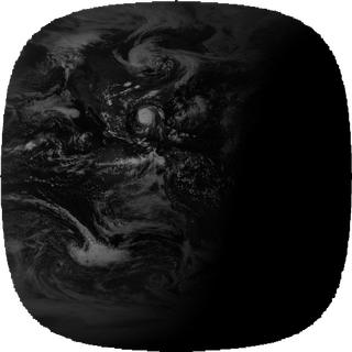
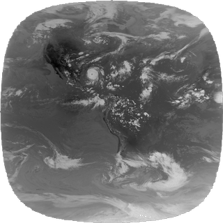
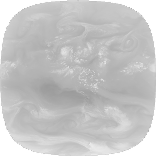
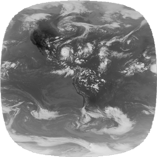
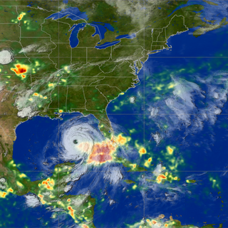
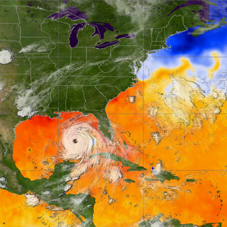
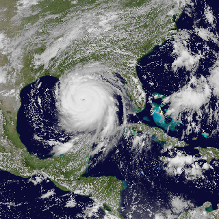
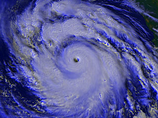
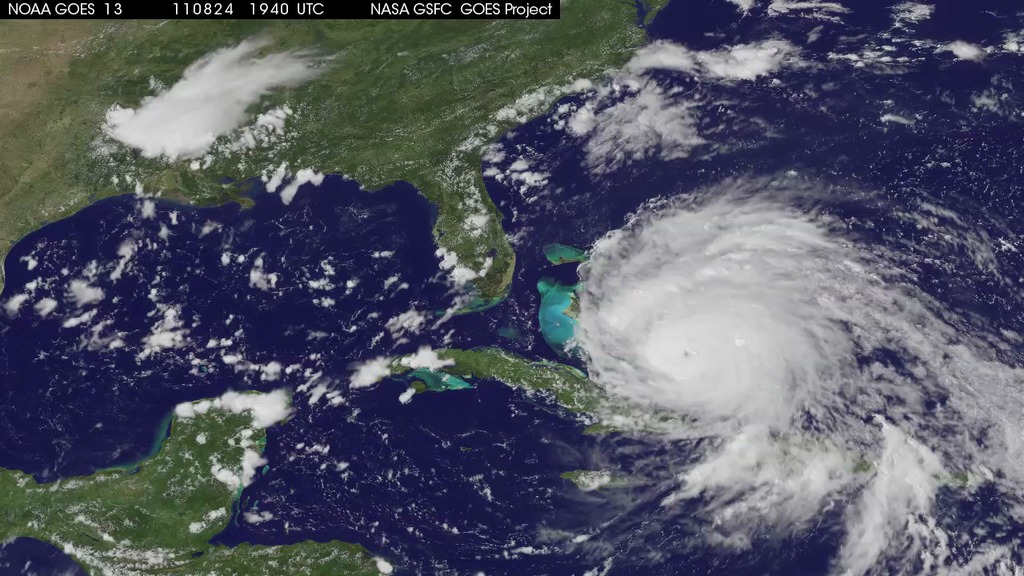
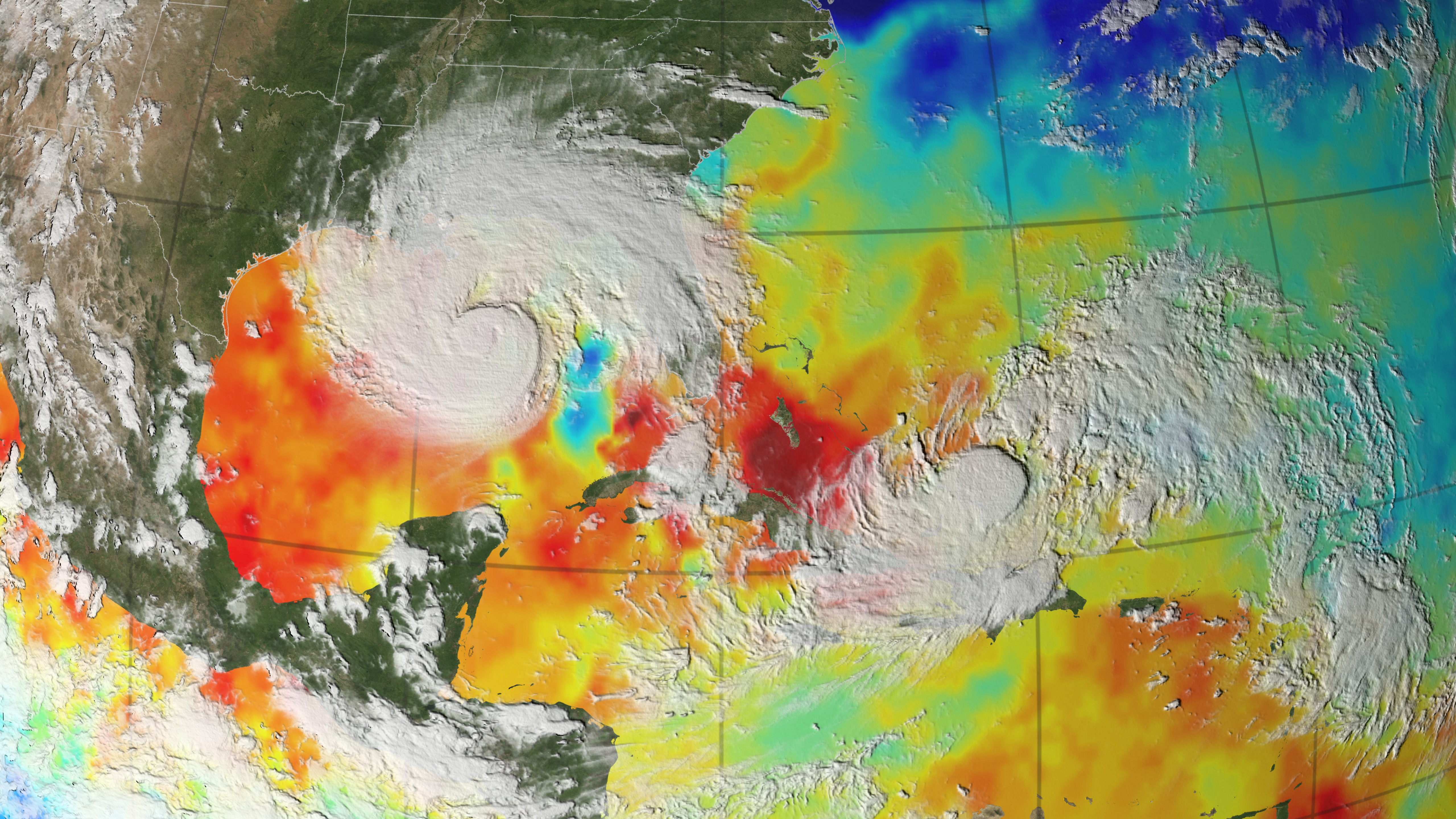
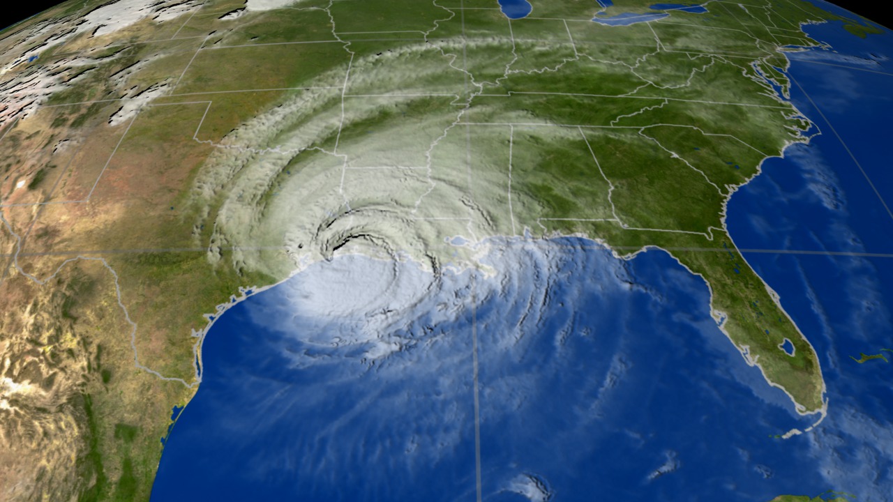
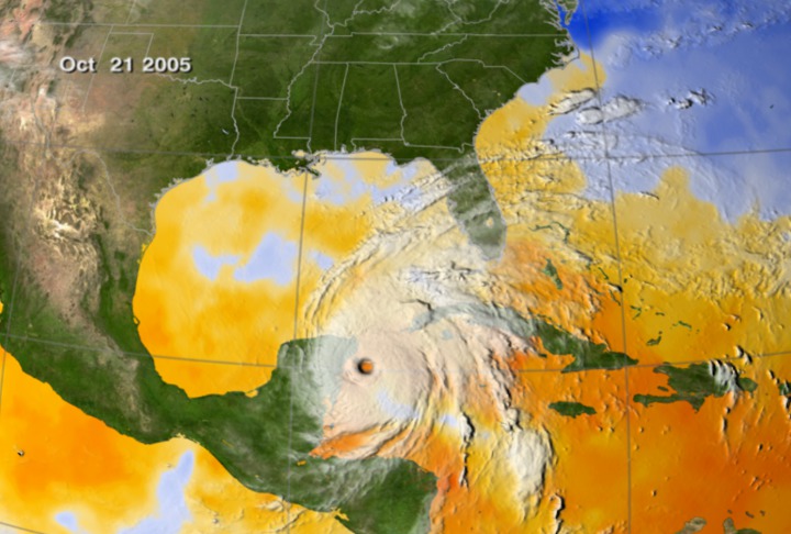
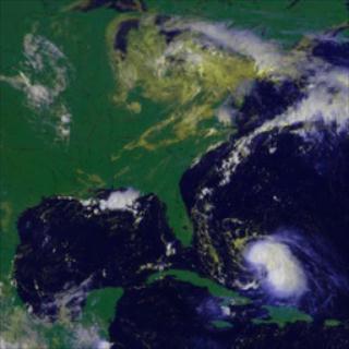
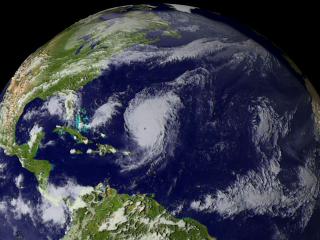
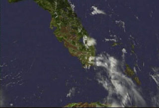
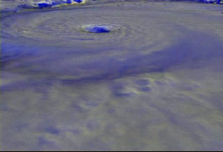
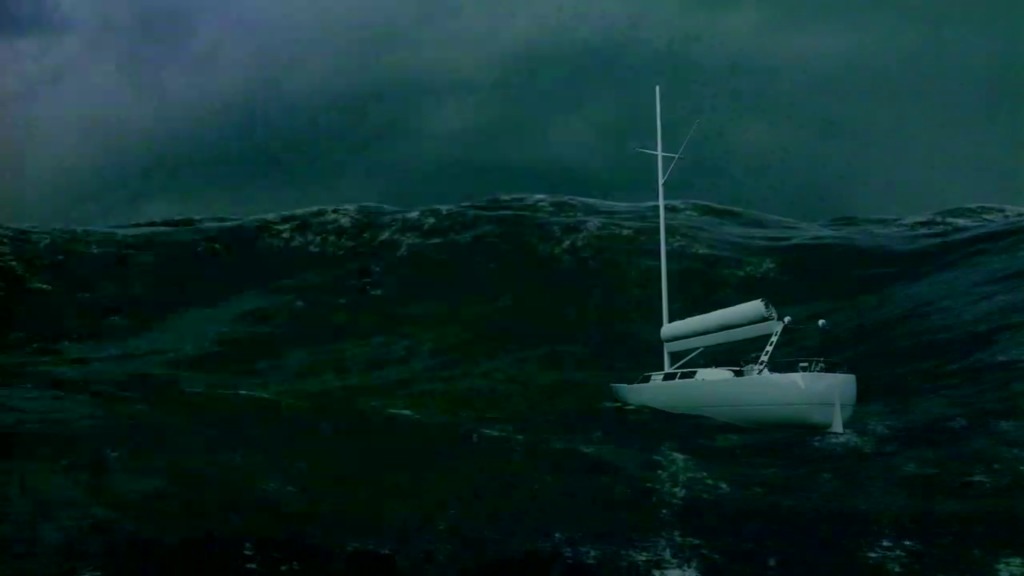
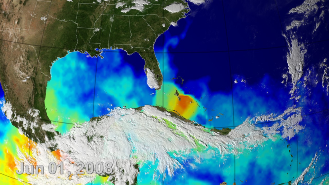
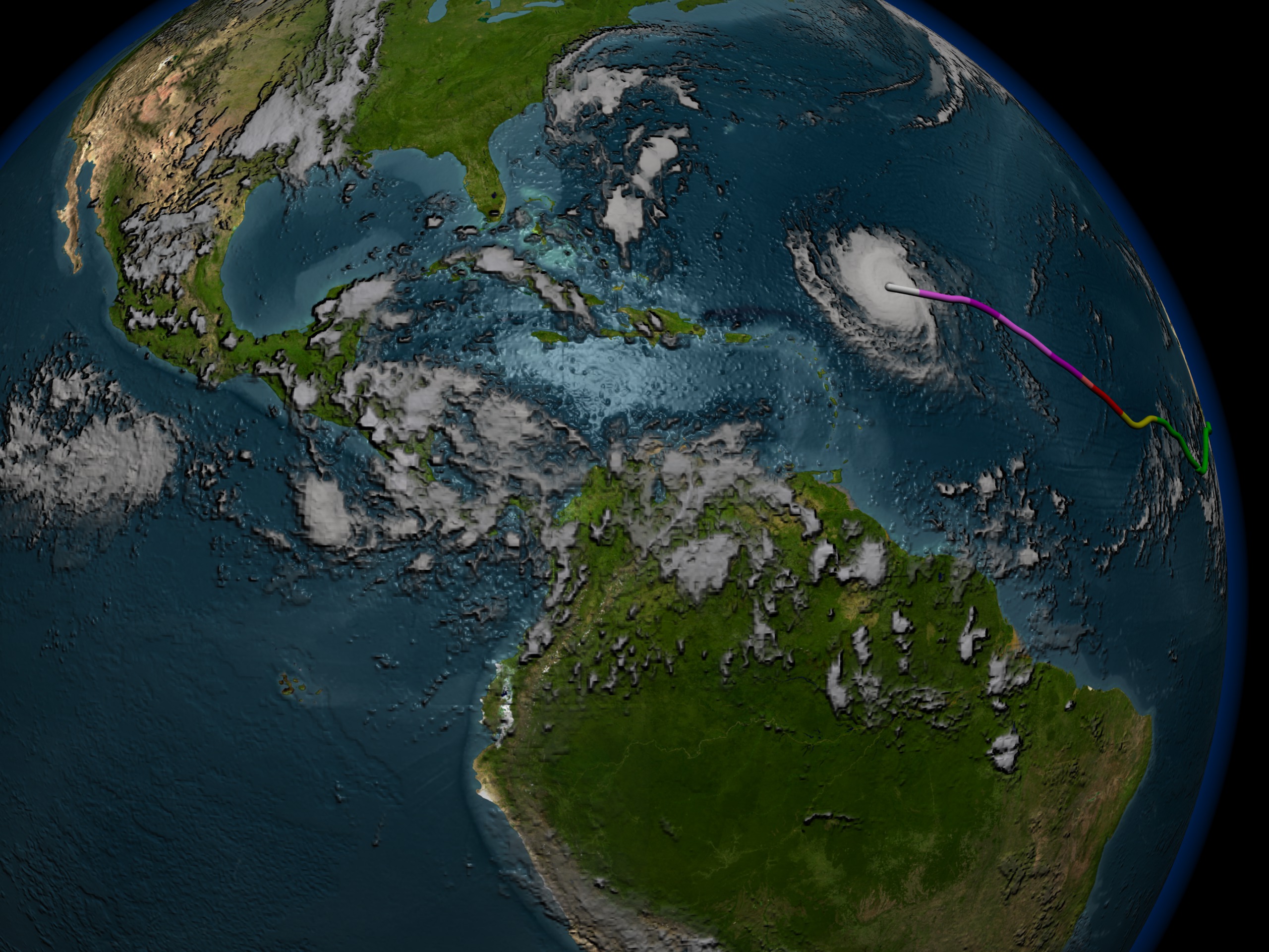
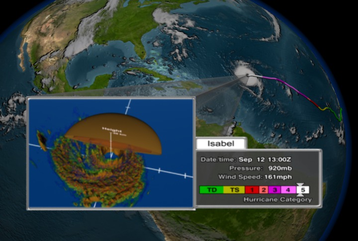
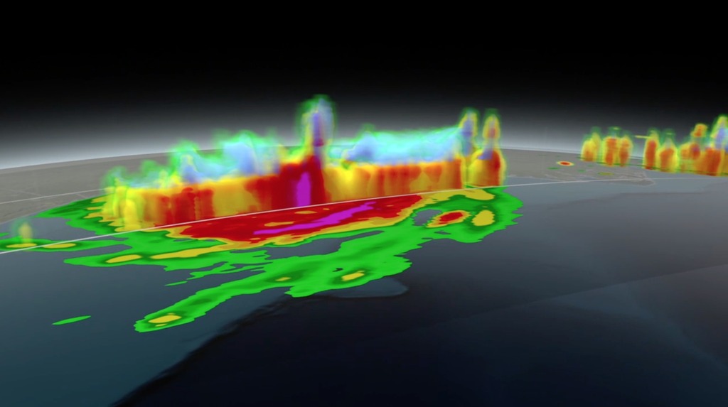
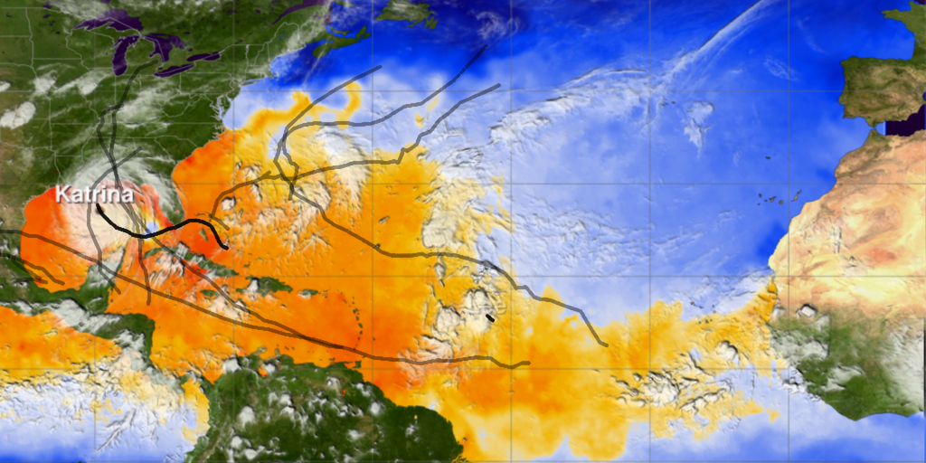
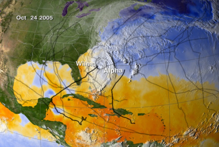
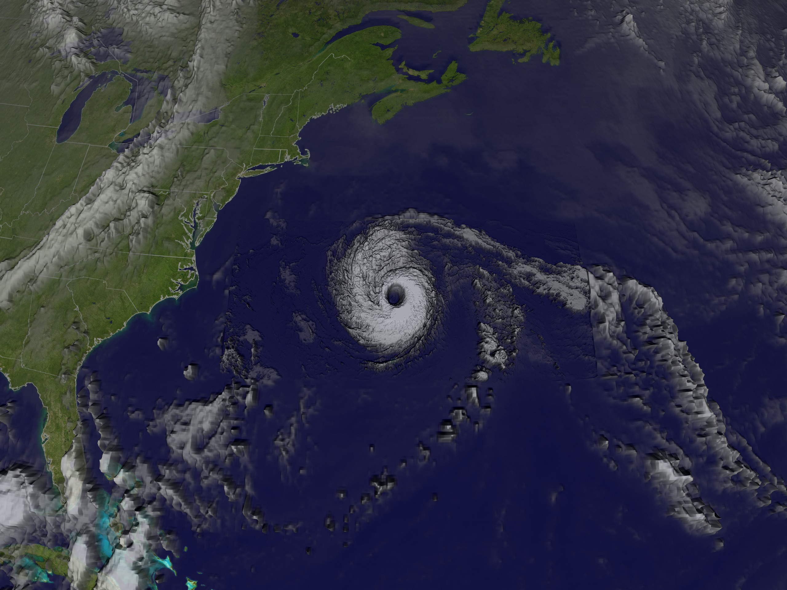
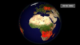
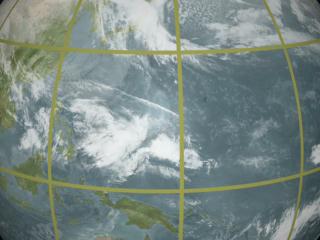
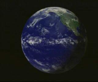
Hurricane Gilbert from GOES: September 12-13, 1988
Go to this pageHurricane Gilbert was one of the strongest hurricanes ever seen in the Atlantic, with winds up to 184 miles per hour. It devastated Jamaica before coming to land at the Yucatan Peninsula. ||
Legacy GOES Satellites
- ID: 10552
 Produced Video
 - ID: 14756Produced Video
- ID: 14554Produced Video
- ID: 10936Produced Video
- ID: 11724Produced Video
- ID: 10575Produced Video
- ID: 10422Produced Video
- ID: 10586Produced Video
- ID: 10633
 Produced Video
 - ID: 10694
 Produced Video
 - ID: 10553
 Produced Video
 - ID: 3581
 Visualization
 - ID: 3354
 Visualization
 - ID: 2995
 Visualization
 - ID: 2996
 Visualization
 - ID: 2997
 Visualization
 - ID: 2894Visualization
- ID: 2895
- ID: 2818
- ID: 800
Hurricanes
- ID: 11874
 Produced Video
 - ID: 10633Produced Video
- ID: 3581Visualization
- ID: 3354Visualization
- ID: 3306
 Visualization
 - ID: 3279
- ID: 2987
 Visualization
 - ID: 2995Visualization
- ID: 2996Visualization
- ID: 2997Visualization
- ID: 2955
 Visualization
 - ID: 2897
- ID: 2892Visualization
- ID: 2818
- ID: 2820
- ID: 2821

- ID: 2824
 Visualization
 - ID: 223Visualization
- ID: 224
- ID: 225
- ID: 226Visualization
- ID: 1300Visualization
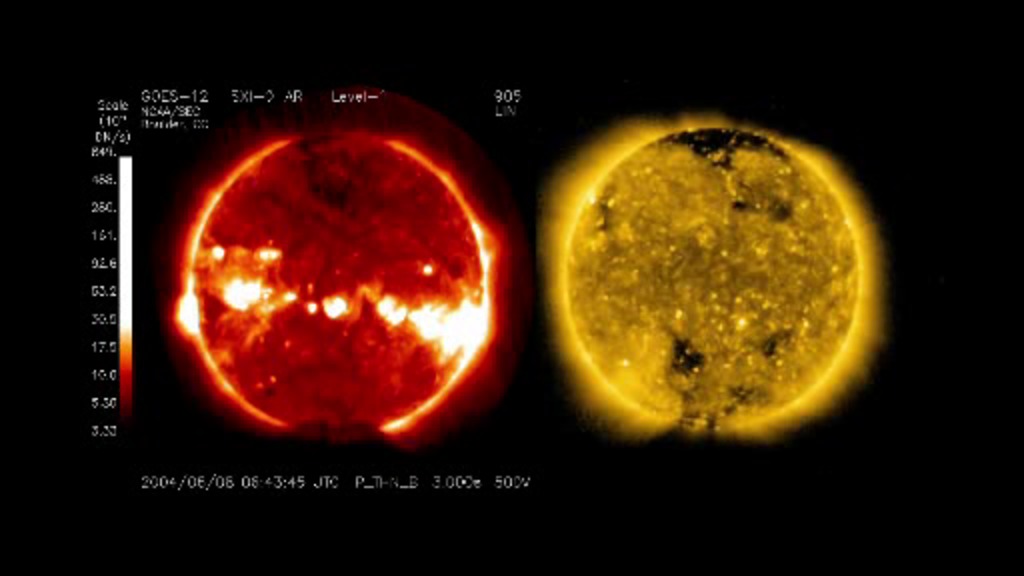
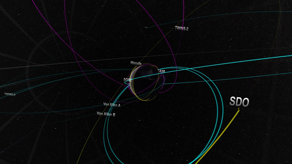
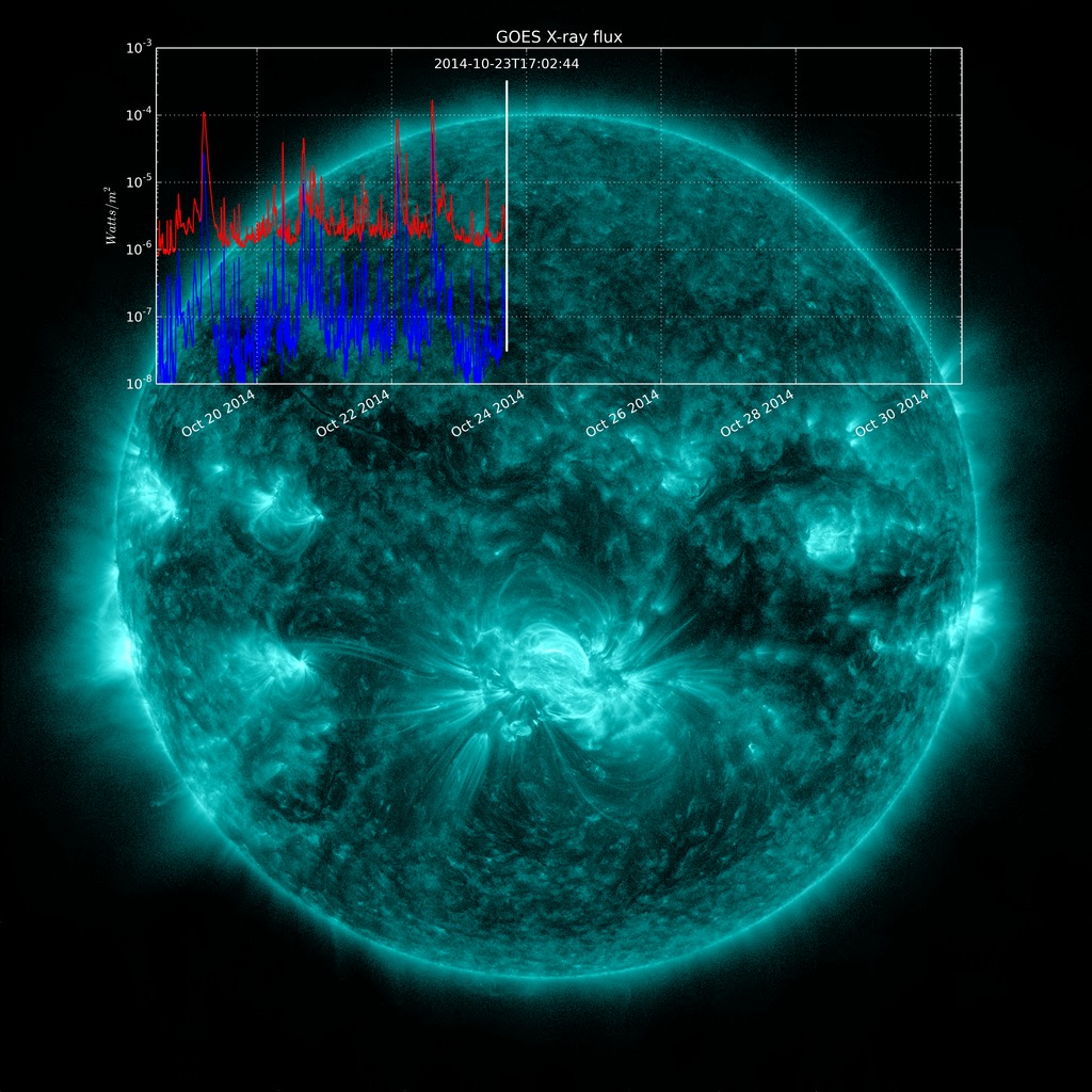
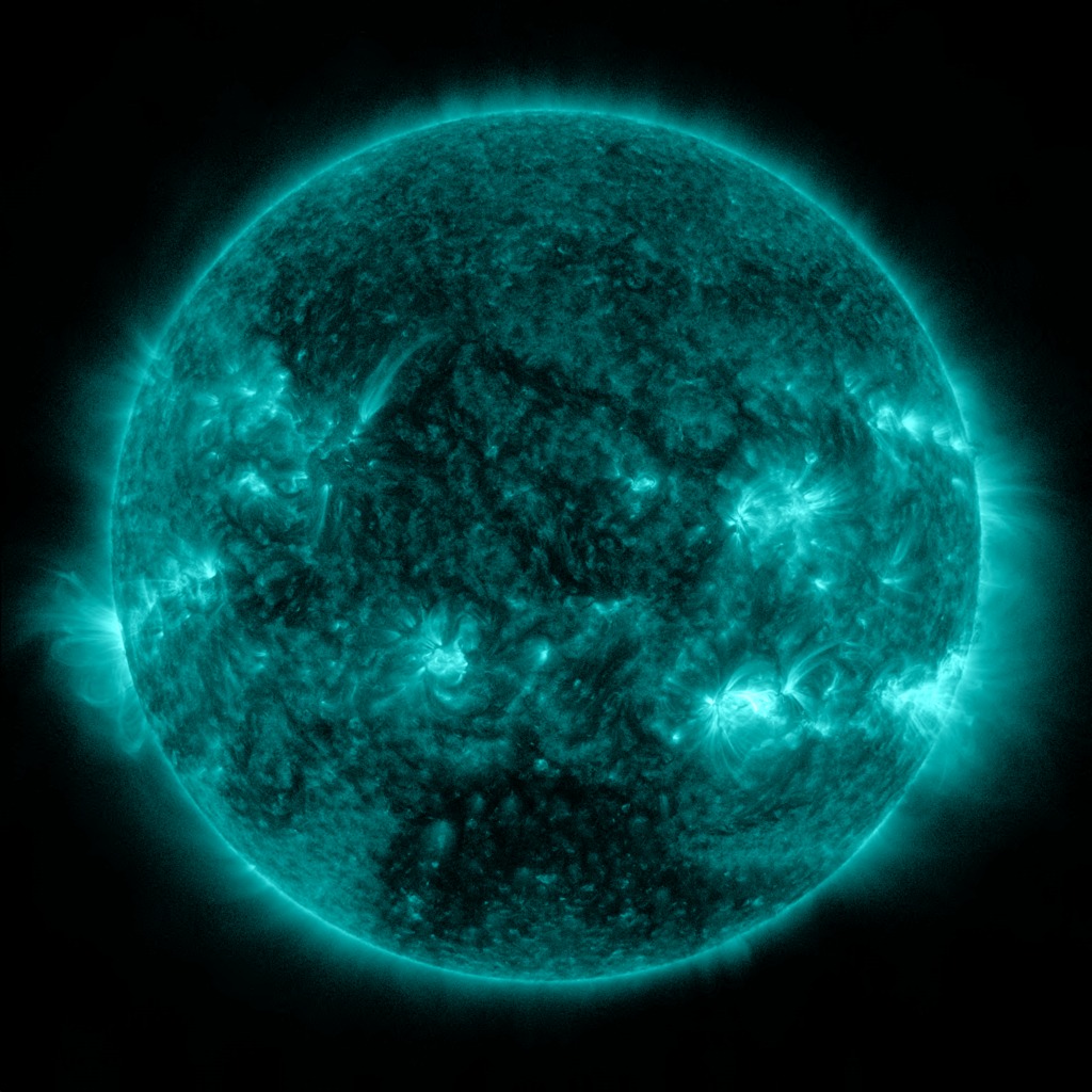
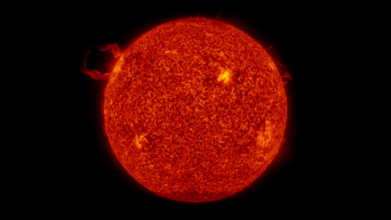
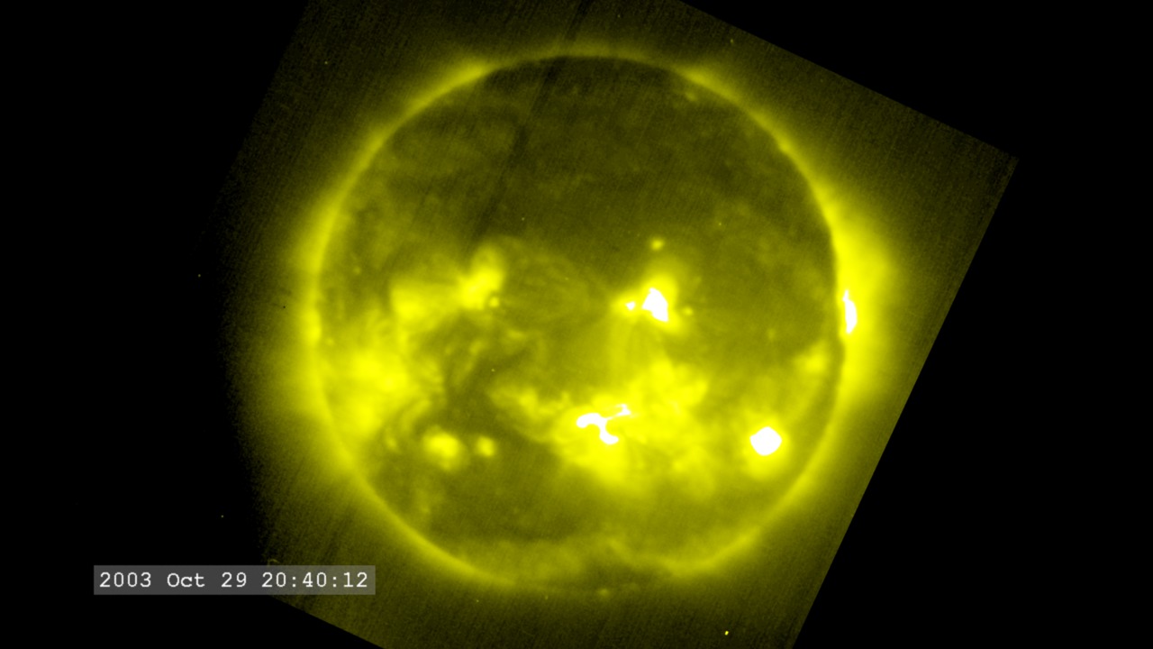
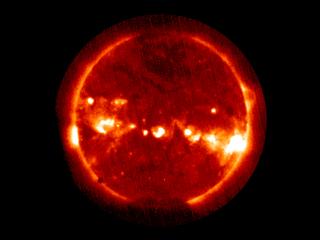
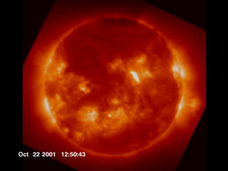
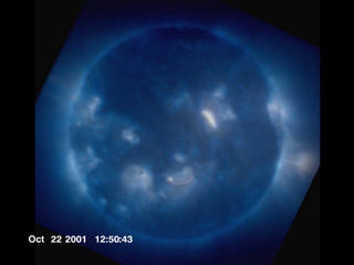
Solar Observations
- ID: 4288
 Visualization
 - ID: 4232
 Visualization
 - ID: 4244
- ID: 4127
 Visualization
 - ID: 3969
 Visualization
 - ID: 10733
 Produced Video
 - ID: 10609Produced Video
- ID: 3683
 Visualization
 - ID: 2966
 Visualization
 - ID: 2689
 Visualization
 - ID: 2690
 Visualization
Animations
- Section
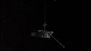
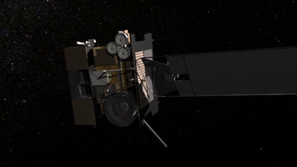
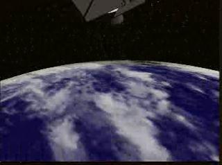
Beauty Pass
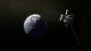
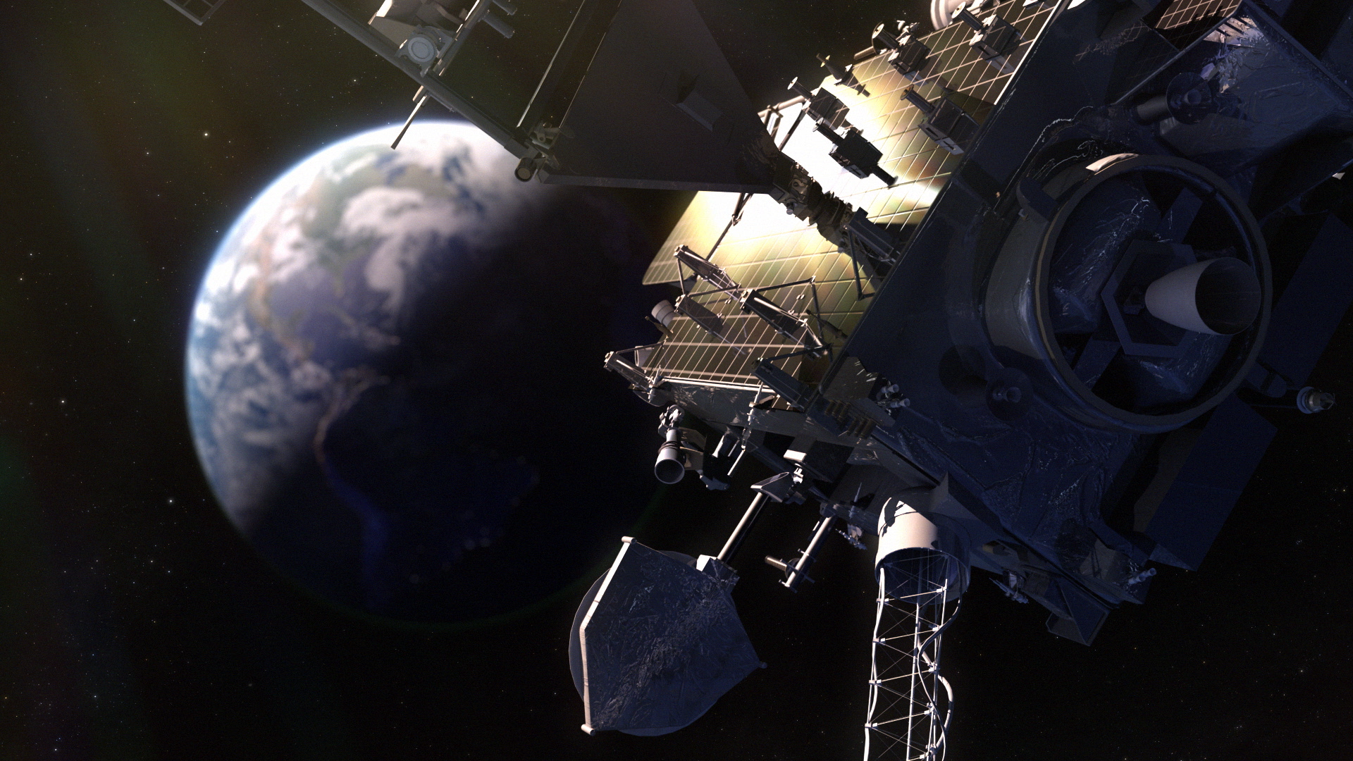
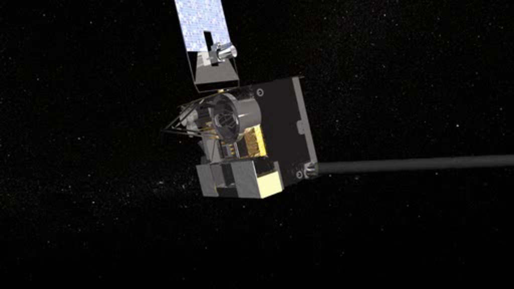
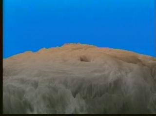
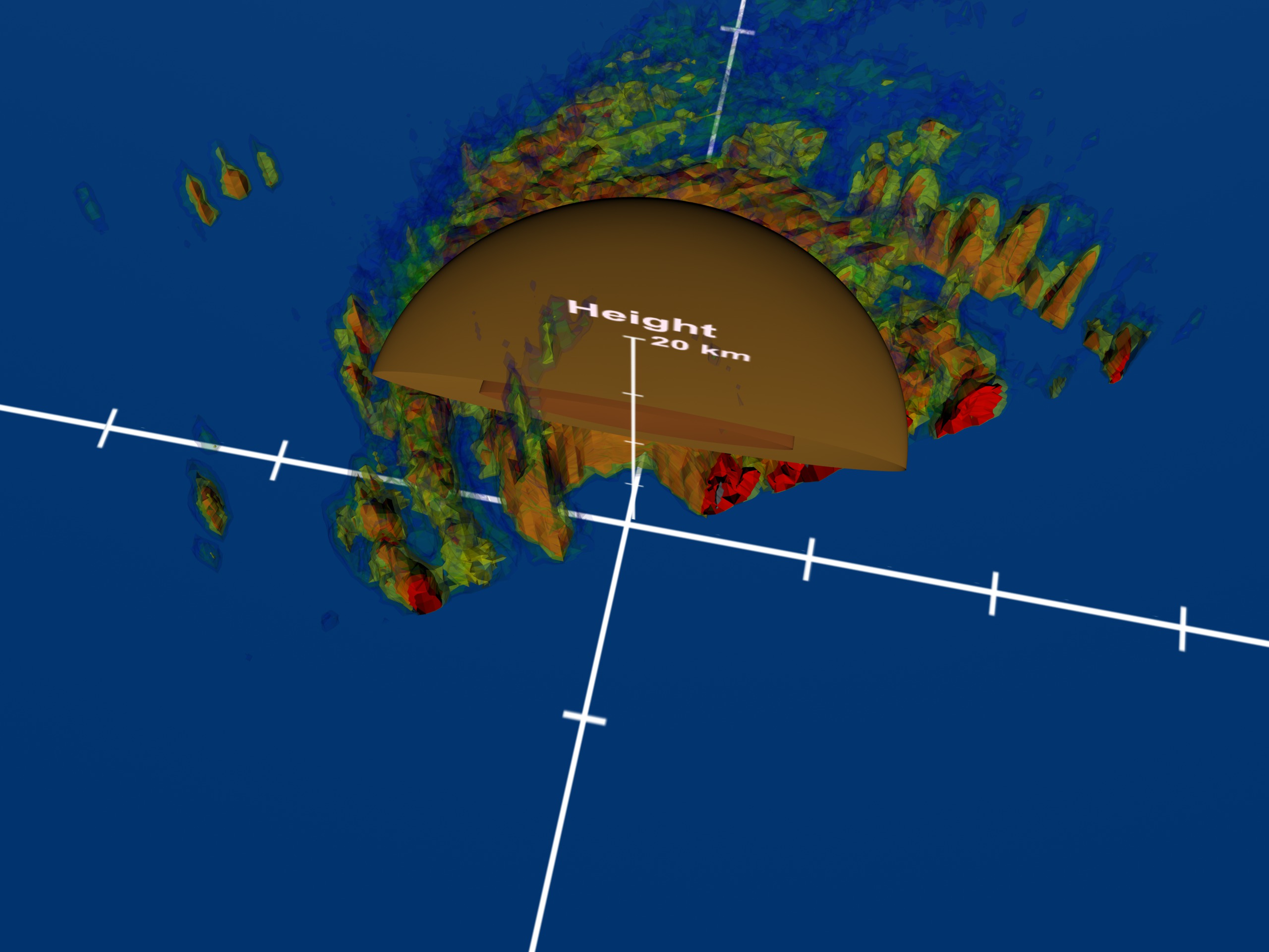
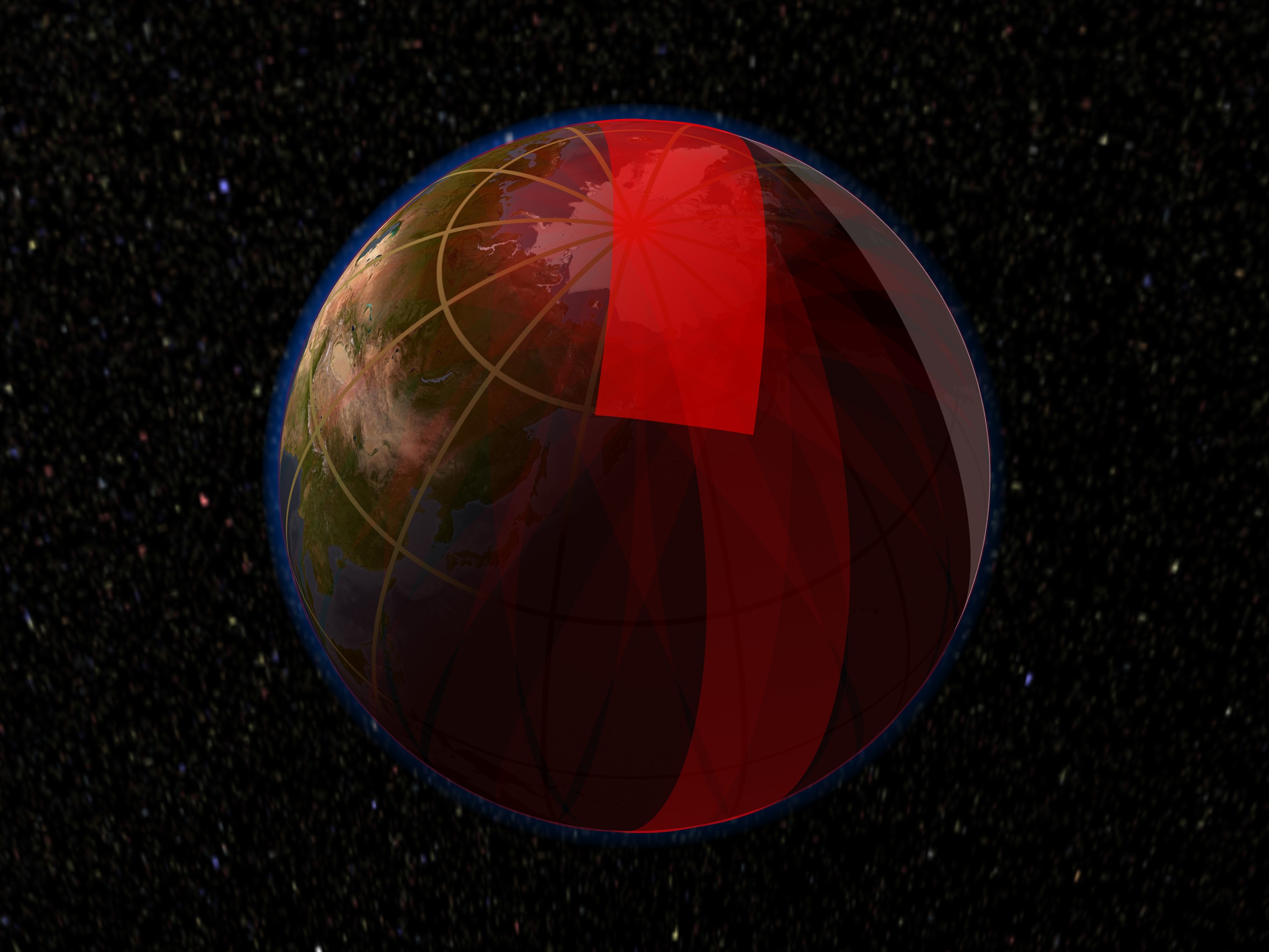
Go to this sectionAn artist concept of the GOES-R spacecraft in geostationary orbit seeing lightning from space. One of the newest features of GOES-R is the critical ability to measure and see in-cloud lightning. Thus increasing the tornado warning time.
Narrated or Voice Over
- ID: 11724Produced Video


 Section
 Section
- Section
- ID: 10694Produced Video
- ID: 10633Produced Video
- ID: 10553Produced Video
- ID: 10609Produced Video
- ID: 10586Produced Video
- ID: 10581Produced Video
- ID: 10579
 Produced Video
 - ID: 10575Produced Video
- ID: 3619
 Visualization
 - ID: 10449Produced Video
- ID: 10450Produced Video
- ID: 10252Produced Video
- ID: 10422Produced Video
- ID: 3354Visualization
- ID: 3355
 Visualization
 - ID: 3181
 Visualization
 - ID: 2853
 Visualization
 - ID: 2854
- ID: 2707
 Visualization
 - ID: 2806
 Visualization
 - ID: 251
 Visualization
  Section
Miscellaneous
- ID: 4288Visualization
- ID: 11874Produced Video
- ID: 11790
 Produced Video
 - ID: 4127Visualization
- ID: 3969Visualization
- ID: 10694Produced Video
- ID: 10633Produced Video
- ID: 10606
 Produced Video
 - ID: 3745
 Visualization
 - ID: 10552Produced Video
- ID: 10594
 Produced Video
 - ID: 10579Produced Video
- ID: 3619Visualization
- ID: 10413Produced Video
- ID: 20149Animation
- ID: 3354Visualization
- ID: 3355Visualization
- ID: 3181Visualization
- ID: 2933
- ID: 2934
- ID: 2935
- ID: 2987Visualization
- ID: 2853Visualization
- ID: 2854
- ID: 2862
 Visualization
 - ID: 2707Visualization
- ID: 2806Visualization
- ID: 2818
- ID: 2652
- ID: 1209
 Visualization
 - ID: 1049Visualization
- ID: 1011
- ID: 1012
- ID: 1013
 Visualization
 - ID: 1014
 Visualization
 - ID: 328
 Visualization
 - ID: 1401
 Visualization
 - ID: 1402
 Visualization
 - ID: 251Visualization
- ID: 116
 Visualization
 - ID: 96
 Visualization
 - ID: 155
 Visualization
 - ID: 1390
 Visualization
 - ID: 79
- ID: 81
 Visualization
 - ID: 58
 Visualization
 - ID: 59
 Visualization