Earth
ID: 11966
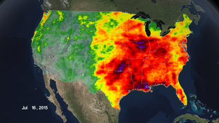
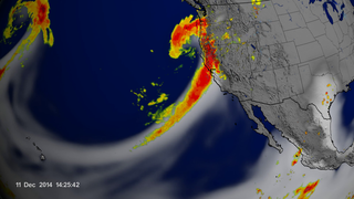
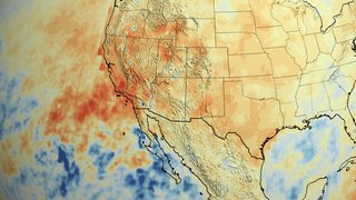
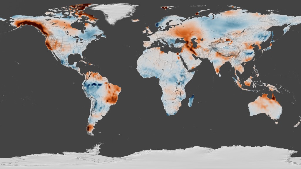
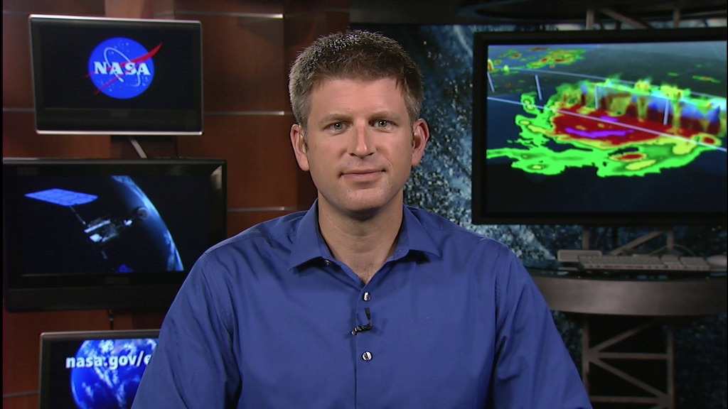
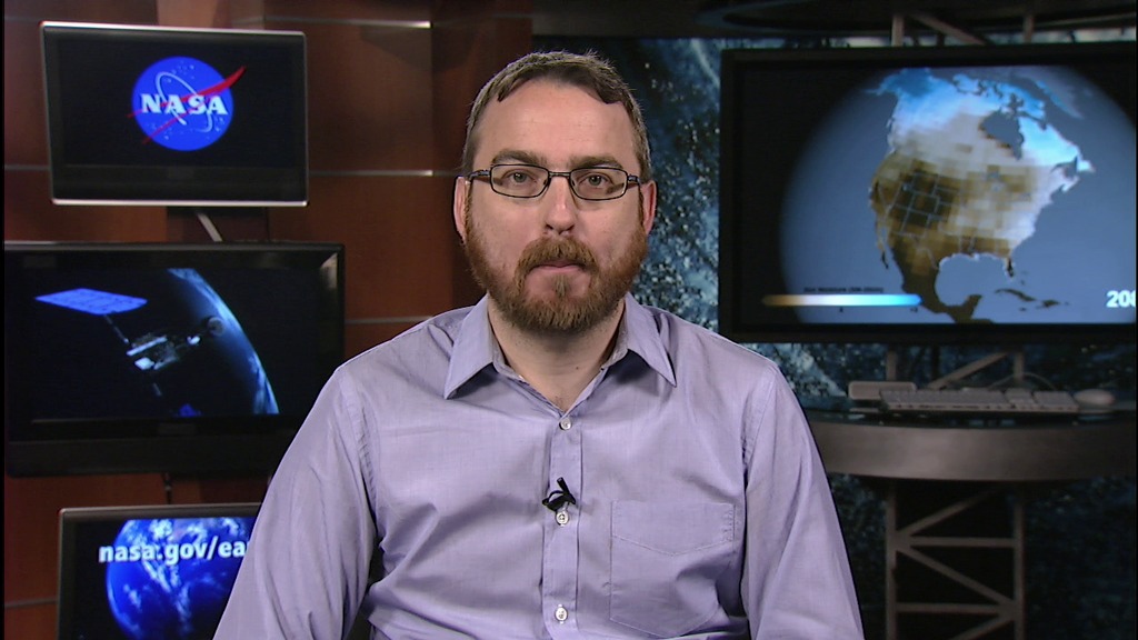
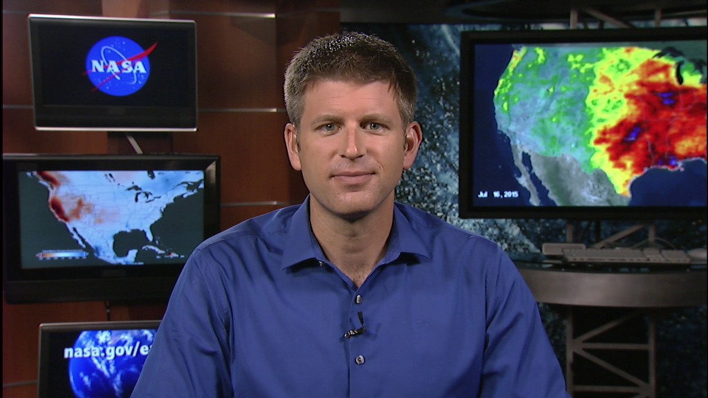
It’s been a tale of two extremes this year for the United States. Severe drought plagues the West Coast, causing states like California to take serious measures for water conservation. Then just last week Southern California got a deluge of rain that caused flooding. In Texas, heavy rains and flash flooding this summer seem to have erased drought memories—for now. New views from NASA satellites delve into the details of where the water is, or not, from the dry west to the soggy east, and why.
NASA scientists Ben Cook and Doug Morton are available on Friday, July 31 between 6 a.m. – 11:00 a.m. EDT to show your viewers new views of the extreme drought and flood conditions affecting large swaths of the U.S., and discuss if a strong possible El Niño will play a role.
Click here for more about information about California's rainfall deficit.
For more Earth Science stories click here.
A Tale Of Two Extremes Live Shots
It’s been a tale of two extremes this year for the United States. Severe drought plagues the West Coast, causing states like California to take serious measures for water conservation. Then just last week Southern California got a deluge of rain that caused flooding. In Texas, heavy rains and flash flooding this summer seem to have erased drought memories—for now. New views from NASA satellites delve into the details of where the water is, or not, from the dry west to the soggy east, and why.
NASA scientists Ben Cook and Doug Morton are available on Friday, July 31 between 6 a.m. – 11:00 a.m. EDT to show your viewers new views of the extreme drought and flood conditions affecting large swaths of the U.S., and discuss if a strong possible El Niño will play a role.
Click here for more about information about California's rainfall deficit.
For more Earth Science stories click here.
Related


For More Information
Credits
Michelle Handleman (USRA): Lead Producer
Michael Randazzo (Advocates in Manpower Management, Inc.): Lead Editor
Claire Saravia (NASA/GSFC): Producer
Doug C. Morton (NASA/GSFC): Lead Scientist
Benjamin I. Cook (NASA/GSFC GISS): Lead Scientist
Michael Randazzo (Advocates in Manpower Management, Inc.): Lead Editor
Claire Saravia (NASA/GSFC): Producer
Doug C. Morton (NASA/GSFC): Lead Scientist
Benjamin I. Cook (NASA/GSFC GISS): Lead Scientist
Please give credit for this item to:
NASA's Goddard Space Flight Center
NASA's Goddard Space Flight Center
Short URL to share this page:
https://svs.gsfc.nasa.gov/11966
Missions:
Global Precipitation Measurement (GPM)
Gravity Recovery and Climate Experiment Follow-on (GRACE-FO)
This item is part of this series:
Narrated Movies
Keywords:
SVS >> Drought
SVS >> GPM
SVS >> HDTV
GCMD >> Earth Science
SVS >> GRACE
NASA Science >> Earth
GCMD >> Earth Science >> Human Dimensions >> Natural Hazards >> Floods
SVS >> IMERG
GCMD keywords can be found on the Internet with the following citation: Olsen, L.M., G. Major, K. Shein, J. Scialdone, S. Ritz, T. Stevens, M. Morahan, A. Aleman, R. Vogel, S. Leicester, H. Weir, M. Meaux, S. Grebas, C.Solomon, M. Holland, T. Northcutt, R. A. Restrepo, R. Bilodeau, 2013. NASA/Global Change Master Directory (GCMD) Earth Science Keywords. Version 8.0.0.0.0


