Global Terrestrial Water Storage Anomaly
Slow zoom out starting over the United States revealing the rest of the world.
GRACE (Gravity Recovery and Climate Experiment) maps variations in Earth's gravity field. GRACE consists of two identical spacecraft that fly about 220 kilometers (137 miles) apart in a polar orbit 500 kilometers (310 miles) above Earth. GRACE maps Earth's gravity field by making accurate measurements of the distance between the two satellites, using GPS and a microwave ranging system. It is providing scientists from all over the world with an efficient and cost-effective way to map Earth's gravity field with unprecedented accuracy. The results from this mission are yielding crucial information about the distribution and flow of mass within Earth and its surroundings.
The gravity variations studied by GRACE can be used to determine ground water storage on land masses. By comparing current data to an average over time, scientists can generate an anomaly map to see where ground water storage has been depleted or increased.
GRACE is a joint partnership between the National Aeronautics and Space Administration (NASA) in the United States and Deutsche Forschungsanstalt für Luft und Raumfahrt (DLR) in Germany. Project management and systems engineering activities are carried out by the Jet Propulsion Laboratory.

Print resolution map of the world depicting GRACE Terrestrial Water Storage Anomaly as of April 2015 relative to a 2002-2015 mean.

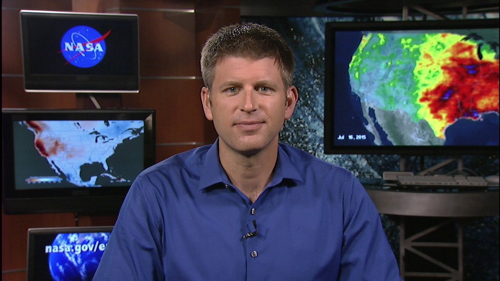
GRACE Terrestrial Water Storage Anomaly colorbar. Rust colored areas show areas where ground water has decreased, and areas in blue are where ground water levels have increased. Note the significant decreases in ground water storage across most of California and all the way up the North American coast into Alaska.
Credits
Please give credit for this item to:
NASA's Scientific Visualization Studio
-
Data visualizers
-
Alex Kekesi
(Global Science and Technology, Inc.)

- Horace Mitchell (NASA/GSFC)
-
Alex Kekesi
(Global Science and Technology, Inc.)
-
Scientist
-
Doug C. Morton
(NASA/GSFC)
-
Doug C. Morton
(NASA/GSFC)
-
Producer
- Michelle Handleman (USRA)
Missions
This page is related to the following missions:Series
This page can be found in the following series:Datasets used
-
[Gravity Recovery and Climate Experiment (GRACE)]
ID: 221
Note: While we identify the data sets used on this page, we do not store any further details, nor the data sets themselves on our site.
Related
- ID: 11966
 Produced Video
Release date
This page was originally published on Thursday, July 30, 2015.
This page was last updated on Wednesday, October 9, 2024 at 12:05 AM EDT.