Indecisive El Niño
This animation shows El Niño's and La Niña's mulitiple personalites. The sequence begins with normal jet streams, normal sea surface temperatures, and normal wind patterns. The first change illustrates what occurs when a very strong El Niño strikes surface waters in the Central equatorial Pacific Ocean. Warm water anomalies (red) develop in the Central Pacific Ocean while normal westerly winds weaken and allow easterly winds to push the warm water up against the South American Coast. The second change in the animation illustrates typical La Niña conditions. Cold water anomalies (blue) develop as stronger than normal trade winds bring cold water up to the ocean surface. The third change in the animation illustrates the current, weaker El Niño. Warmer waters develop in the central Pacific Ocean and stay in place due to westerly and easterly wind patterns.
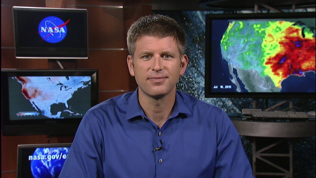
This is the standard definition version of the Indecisive El Niño animation resized to 1280.
Credits
Please give credit for this item to:
NASA/Goddard Space Flight Center Conceptual Image Lab
-
Animator
- Susan Twardy (HTSI)
-
Scientist
- David Adamec (NASA/GSFC)
-
Writer
- Rani Chohan (NASA/GSFC)
Related
- ID: 11966
 Produced Video
Release date
This page was originally published on Friday, March 11, 2005.
This page was last updated on Wednesday, May 3, 2023 at 1:56 PM EDT.