TRMM and MERRA Precipitation Anomalies in California (TRMM part)
Accumulated precipitation deficit map for California drought between 2012 and 2014 based on TRMM data.
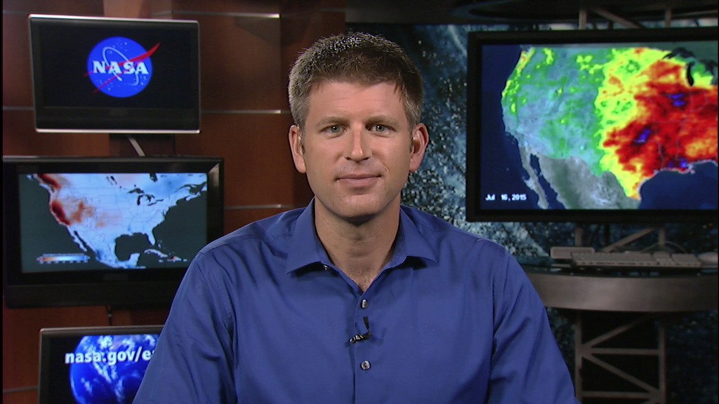
Using modern satellite (TRMM) and reanalysis (MERRA) data, scientists reassess certain aspects of the precipitation climate in California. The project illustrates the accumulated precipitation deficit maps for the California drought based on TRMM and MERRA data (2012 - 2014). These animations are one part of the project based on only TRMM data. The other part (ID#4327 ) is created based on MERRA data.
Accumulated precipitation deficit map for California drought between 2012 and 2014 based on TRMM data with the color bar.

The color bar indicates different precipitation accumulated anomaly levels.
Credits
Please give credit for this item to:
NASA's Scientific Visualization Studio
-
Visualizer
- Cheng Zhang (USRA)
-
Animators
-
Greg Shirah
(NASA/GSFC)

- Horace Mitchell (NASA/GSFC)
-
Greg Shirah
(NASA/GSFC)
-
Producer
- Ellen T. Gray (ADNET Systems, Inc.)
-
Project support
- Laurence Schuler (ADNET Systems, Inc.)
- Ian Jones (ADNET Systems, Inc.)
-
Project scientist
- Andrey K. Savtchenko (ADNET Systems, Inc.)
Missions
This page is related to the following missions:Datasets used
-
Monthly Average Precipitation Anomaly [TRMM: PR and TMI]
ID: 517This dataset can be found at: http://disc.sci.gsfc.nasa.gov/data/datapool/TRMM/01_Data_Products/index.html
See all pages that use this dataset
Note: While we identify the data sets used on this page, we do not store any further details, nor the data sets themselves on our site.
Related
- ID: 11966
 Produced Video
Release date
This page was originally published on Tuesday, July 21, 2015.
This page was last updated on Wednesday, October 9, 2024 at 12:05 AM EDT.