Apollo 16 Lands in the Lunar Highlands
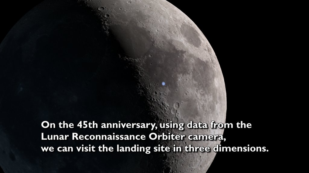
The camera flies from the east to the Apollo 16 landing site, then flies north to North Ray crater. Includes an introductory slate, astronaut audio, and music.
Music provided by Universal Production Music: The Orion Arm
– Christian Telford, David Travis Edwards, Matthew St Laurent, and Robert Anthony Navarro.
Watch this video on the NASA Goddard YouTube channel.
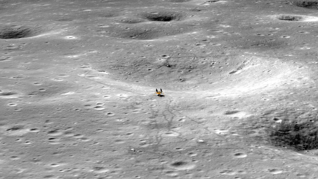
Apollo 16 landed on the Moon at 8:23 p.m. Houston time on April 20, 1972 (April 21 at 2:23 UTC). Their site north of Descartes crater was the only Apollo site in purely highlands terrain, where the surface is older, lighter in color, and more heavily cratered, in contrast to the darker basalts of the maria. Commander John Young and Lunar Module Pilot Charlie Duke explored the surface in their lunar rover, traveling a total of 16.7 miles (26.9 km) and collecting 211 pounds (95.7 kg) of samples, while Command Module Pilot Thomas K. Mattingly performed experiments from orbit.
For the 50th anniversary of the Apollo 16 mission, the video presented here uses elevation maps and images from Lunar Reconnaissance Orbiter (LRO) to visualize the area around the landing site and the routes taken by the astronauts over three days of extravehicular activities (EVAs). The video begins with the camera flying west over the terrain the astronauts saw as they came in for a landing, and it ends with a dramatic view of North Ray crater, the destination of their EVA on Day 3.
The camera flies from the east to the Apollo 16 landing site, then flies north to North Ray crater. This is the as-rendered visualization.
Credits
Please give credit for this item to:
NASA's Scientific Visualization Studio
-
Visualizer
-
Ernie Wright
(USRA)

-
Ernie Wright
(USRA)
-
Producer
- David Ladd (Advocates in Manpower Management, Inc.)
-
Video editor
- David Ladd (Advocates in Manpower Management, Inc.)
-
Scientist
-
Noah Petro
(NASA/GSFC)
-
Noah Petro
(NASA/GSFC)
-
Technical support
- Laurence Schuler (ADNET Systems, Inc.)
- Ian Jones (ADNET Systems, Inc.)
Missions
This page is related to the following missions:Series
This page can be found in the following series:Datasets used
-
NAC (Narrow Angle Camera) [LRO: LROC]
ID: 652 -
Stereo DEM [LRO: LROC NAC]
ID: 835 -
LROC WAC [LRO: Wide Angle Camera]
ID: 927 -
SLDEM2015 (DIgital Elevation Model) [LRO/SELENE: LOLA/TC]
ID: 948A digital elevation model of the Moon derived from the Lunar Orbiter Laser Altimeter and the SELENE Terrain Camera. See the description in Icarus. The data is here.
See all pages that use this dataset
Note: While we identify the data sets used on this page, we do not store any further details, nor the data sets themselves on our site.
Related
- ID: 4918
 Visualization
 - ID: 4883
 Visualization
 - ID: 4791
 Visualization
 - ID: 4767
 Visualization
 - ID: 4731
 Visualization
 - ID: 4185
 Visualization
Release date
This page was originally published on Monday, April 18, 2022.
This page was last updated on Sunday, February 2, 2025 at 12:16 AM EST.