The Apollo 12 Landing Site
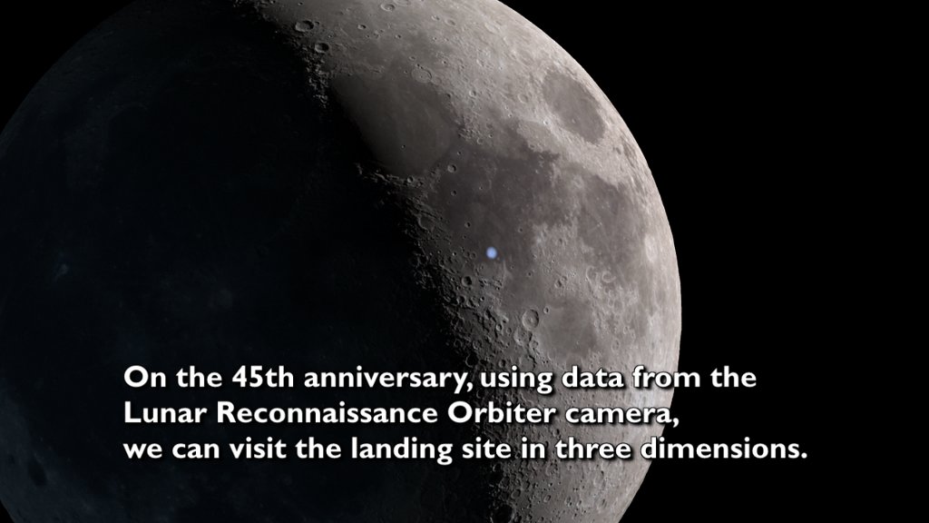
The Apollo 12 landing site visualized in three dimensions using photography and a stereo digital elevation model from the Lunar Reconnaissance Orbiter Camera. The locations of the flag shadow, experiment package, astronaut paths, and the Surveyor 3 spacecraft are marked. Music provided by Universal Production Music: "The Return" - Axel Tenner, Michael Schluecker, Raphael Schalz.
Apollo 12 landed on the Moon a little before 1:00 a.m. Houston time on November 19, 1969, four months after Apollo 11. The Lunar Module, nicknamed Intrepid and flown by Charles "Pete" Conrad and Alan Bean, made a pinpoint landing just 160 meters (520 feet) from the Surveyor 3 probe that had landed two and a half years earlier. On their second EVA, the astronauts retrieved pieces of Surveyor so that engineers could study the effects of years spent on the lunar surface. The Surveyor camera is currently on display at the National Air and Space Museum in Washington, DC.
In images of the landing site taken more than four decades later by Lunar Reconnaissance Orbiter, a number of artifacts are clearly visible. These include
- the descent stage of the Lunar Module
- the PLSS backpacks, discarded at the foot of the LM ladder
- the inverted-umbrella shape of the S-band antenna
- the shadow of the American flag
- the components of the Apollo Lunar Surface Experiment Package (ALSEP)
- the Surveyor 3 spacecraft
- the trails of astronaut bootprints
This visualization uses LROC NAC image M175428601 (40 cm per pixel) and a digital terrain model derived from NAC stereo image pairs (2 meters per pixel) to fly over the Apollo 12 landing site. Because the LM in the NAC image looks oddly flat when viewed at an oblique angle, a 3D model of the descent stage was added.
The Apollo 12 landing site visualized in three dimensions using photography and a stereo digital elevation model from the Lunar Reconnaissance Orbiter Camera.
Credits
Please give credit for this item to:
NASA's Scientific Visualization Studio
-
Visualizer
-
Ernie Wright
(USRA)

-
Ernie Wright
(USRA)
-
Producer
- David Ladd (USRA)
-
Video editor
- David Ladd (USRA)
-
Scientist
-
Noah Petro
(NASA/GSFC)
-
Noah Petro
(NASA/GSFC)
Missions
This page is related to the following missions:Series
This page can be found in the following series:Datasets used
-
NAC (Narrow Angle Camera) [LRO: LROC]
ID: 652 -
Stereo DEM [LRO: LROC NAC]
ID: 835
Note: While we identify the data sets used on this page, we do not store any further details, nor the data sets themselves on our site.
Related
- ID: 4989
 Visualization
 - ID: 4918
 Visualization
 - ID: 4883
 Visualization
 - ID: 4803
 Visualization
 - ID: 4731
 Visualization
 - ID: 4185
 Visualization
Release date
This page was originally published on Tuesday, November 19, 2019.
This page was last updated on Monday, January 6, 2025 at 12:15 AM EST.