Apollo 14 Hike To Cone Crater
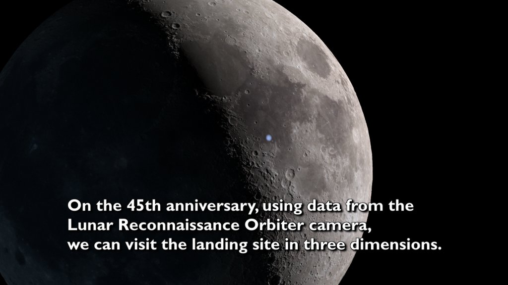
Full Video with Narration: This video describes the hike toward Cone crater by Apollo 14 astronauts Al Shepard and Ed Mitchell, using a visualization created from Lunar Reconnaissance Orbiter data.
Music provided by Universal Production Music: “Taking Flight” – Ben Beiny.
Watch this video on the NASA Goddard YouTube channel.
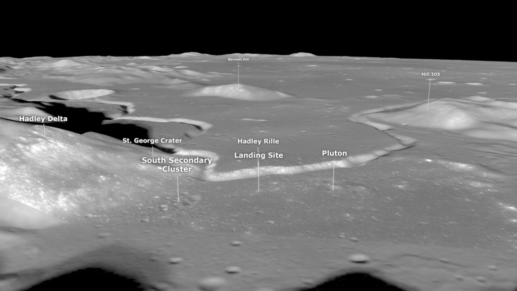
Apollo 14 landed on the Moon a little after 3:00 a.m. Houston time on February 5, 1971. The landing site in the Fra Mauro highlands had originally been the destination of Apollo 13 ten months earlier. The site is on the edge of a debris field created by the impact that formed Cone crater, 330 meters in diameter and about 1.5 kilometers away.
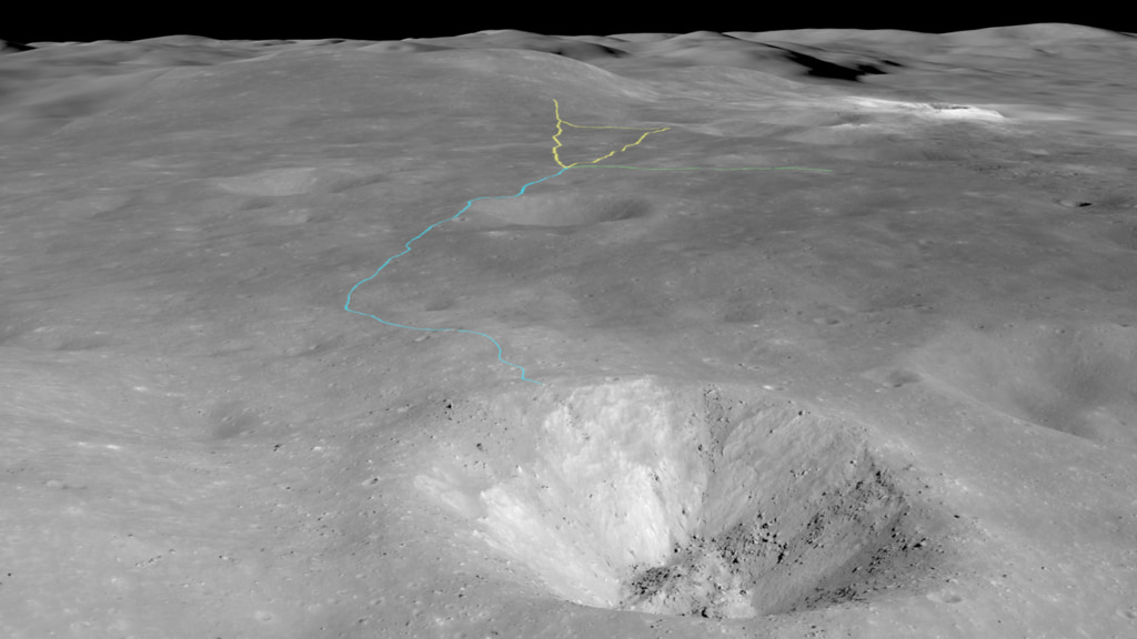
On their second moonwalk, astronauts Alan Shepard and Edgar Mitchell hiked toward the crater, collecting samples of crater ejecta along the way. In theory, rocks blasted from the impact that lay closer to the crater were from deeper beneath the surface, creating a sequence that sampled the lunar crust down to the depth of the crater. But navigating to the crater was difficult. It was on the far side of a fairly steep incline and was never visible to the astronauts as they walked toward it, and they struggled to match features on their map with what they saw on the ground.
Images of the site from the Narrow Angle Camera on Lunar Reconnaissance Orbiter record the path of the astronauts as a clearly visible trail of darker, disturbed regolith. Although they didn't know it at the time, Shepard and Mitchell came within 40 meters (135 feet) of the rim of Cone crater, close enough to collect some of the deepest ejecta, but not close enough to actually see the crater itself.
This visualization uses LRO images and elevation data to recreate EVA 2, the hike to Cone crater. The camera flies near the ground, along the outbound path taken by the astronauts. Stops along the way are labeled with distance and elevation information. The journey ends by showing how close the astronauts came to a spectacular view of the crater.
Visualization only: The camera flies along the path of the second EVA of Apollo 14, ending with a view of Cone crater.
Credits
Please give credit for this item to:
NASA's Scientific Visualization Studio
-
Visualizer
-
Ernie Wright
(USRA)

-
Ernie Wright
(USRA)
-
Producer
- David Ladd (USRA)
-
Scientist
-
Noah Petro
(NASA/GSFC)
-
Noah Petro
(NASA/GSFC)
-
Video editor
- David Ladd (USRA)
-
Narration
- David Ladd (USRA)
-
Technical support
- Laurence Schuler (ADNET Systems, Inc.)
- Ian Jones (ADNET Systems, Inc.)
Missions
This page is related to the following missions:Series
This page can be found in the following series:Datasets used
-
NAC (Narrow Angle Camera) [LRO: LROC]
ID: 652 -
Stereo DEM [LRO: LROC NAC]
ID: 835
Note: While we identify the data sets used on this page, we do not store any further details, nor the data sets themselves on our site.
Related
- ID: 4989
 Visualization
 - ID: 4918
 Visualization
 - ID: 4791
 Visualization
 - ID: 4767
 Visualization
 - ID: 4731
 Visualization
 - ID: 4185
 Visualization
Release date
This page was originally published on Monday, February 8, 2021.
This page was last updated on Wednesday, May 3, 2023 at 1:44 PM EDT.