Megacities Carbon Project - Los Angeles observing network
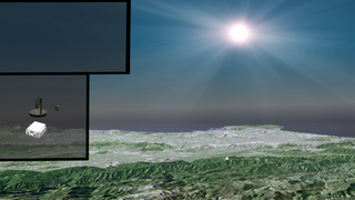
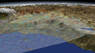
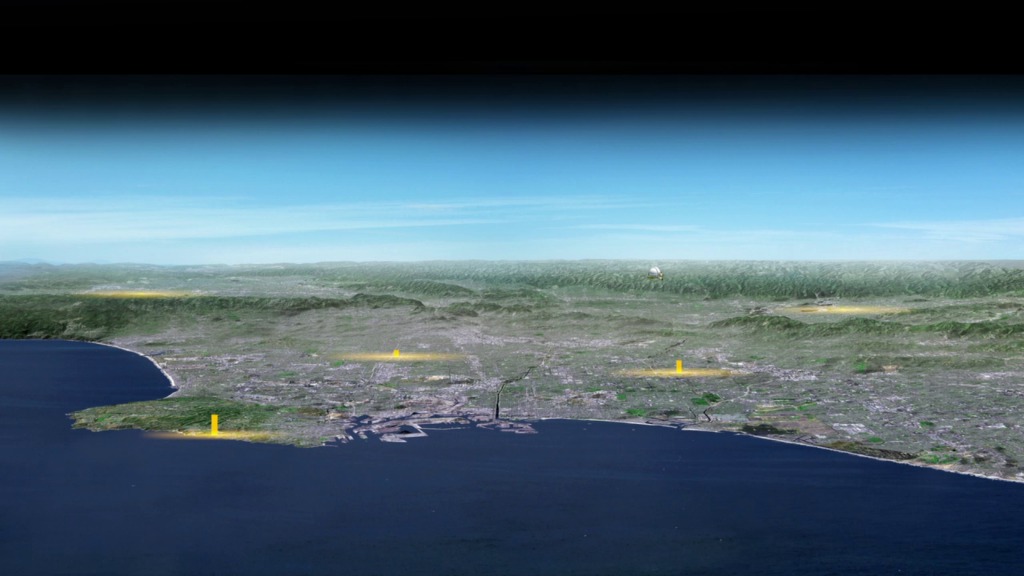
This animation shows a perspective view of the Los Angeles basin looking north. Yellow columns represent continuous measurements of atmospheric carbon from commercial gas analyzers on radio towers and roof-tops. The California Laboratory for Atmospheric Remote Sensing (CLARS) on Mt Wilson uses reflected sunlight to track carbon across the basin.
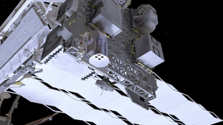
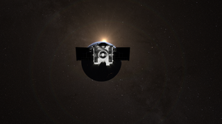
Aircraft periodically sample the air coming in and out of the megacity domain. Satellites such as NASA's Orbiting Carbon Observatory-2 will sample the "urban domes" of carbon dioxide of Los Angeles and other megacities around the world.
The Los Angeles component of the project is jointly funded by NASA's Jet Propulsion Laboratory, the US National Institute of Standards and Technology (NIST), the Keck Institute for Space Studies (KISS), and the California Air Resources Board (CARB). Implementing project partners for LA include: JPL, California Institute of Technology, Arizona State University, Scripps Institution of Oceanography, Lawrence Berkeley National Lab, CARB, Earth Networks, NASA Ames Research Center, and Sigma Space.
Related

For More Information
Animation Credits
Kayvon Sharghi (USRA): Producer
Riley Duren (NASA/JPL CalTech): Scientist
NASA's Goddard Space Flight Center Conceptual Image Lab
https://svs.gsfc.nasa.gov/20197
Keywords:
SVS >> Earth
SVS >> HDTV
NASA Science >> Earth


