Earth
ID: 11009

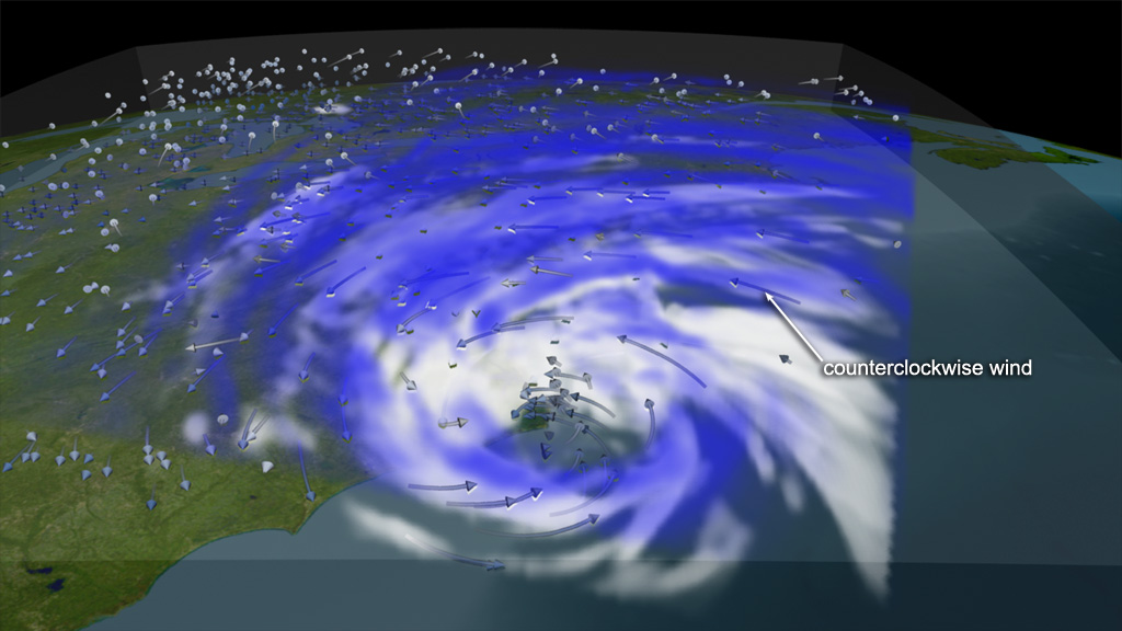
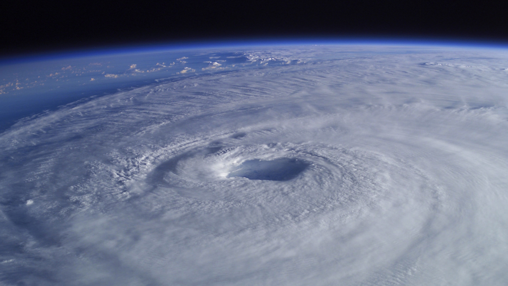
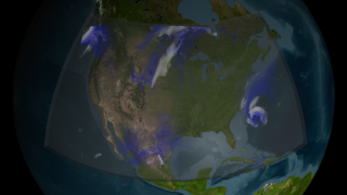
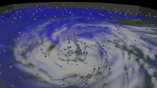
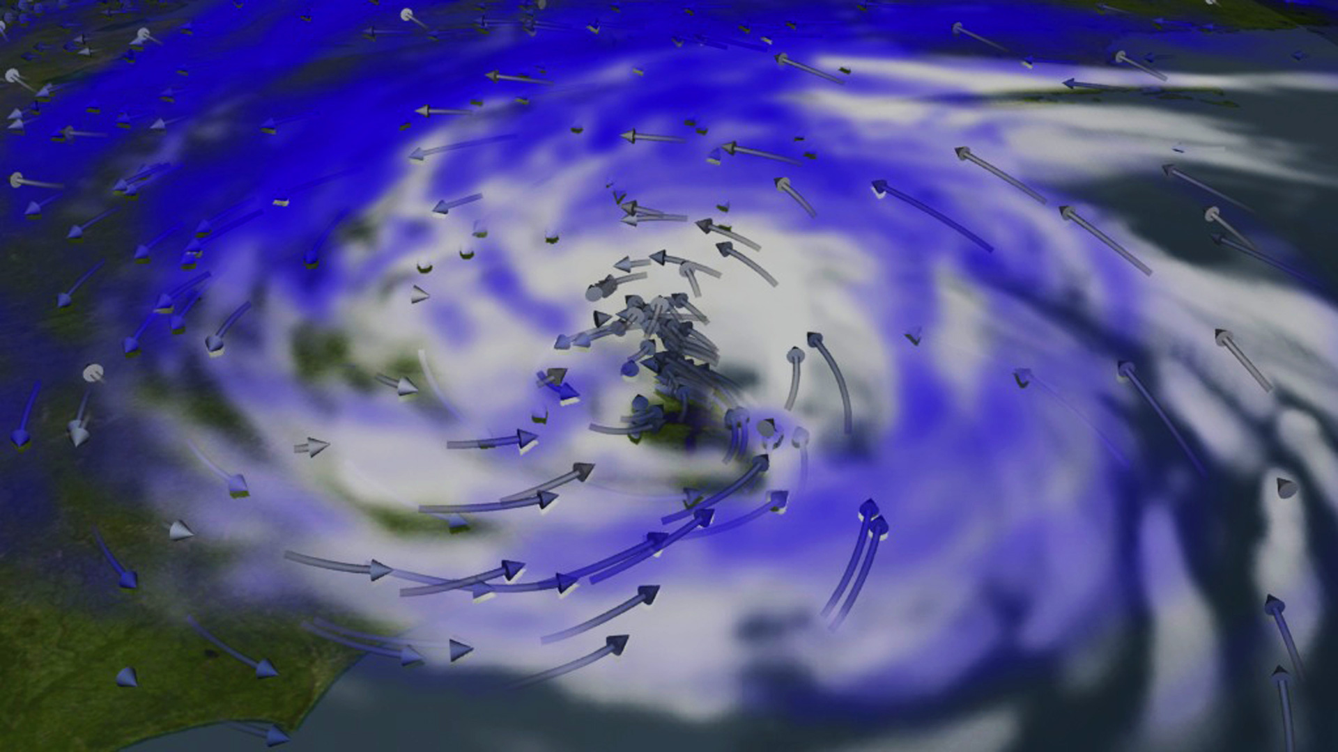
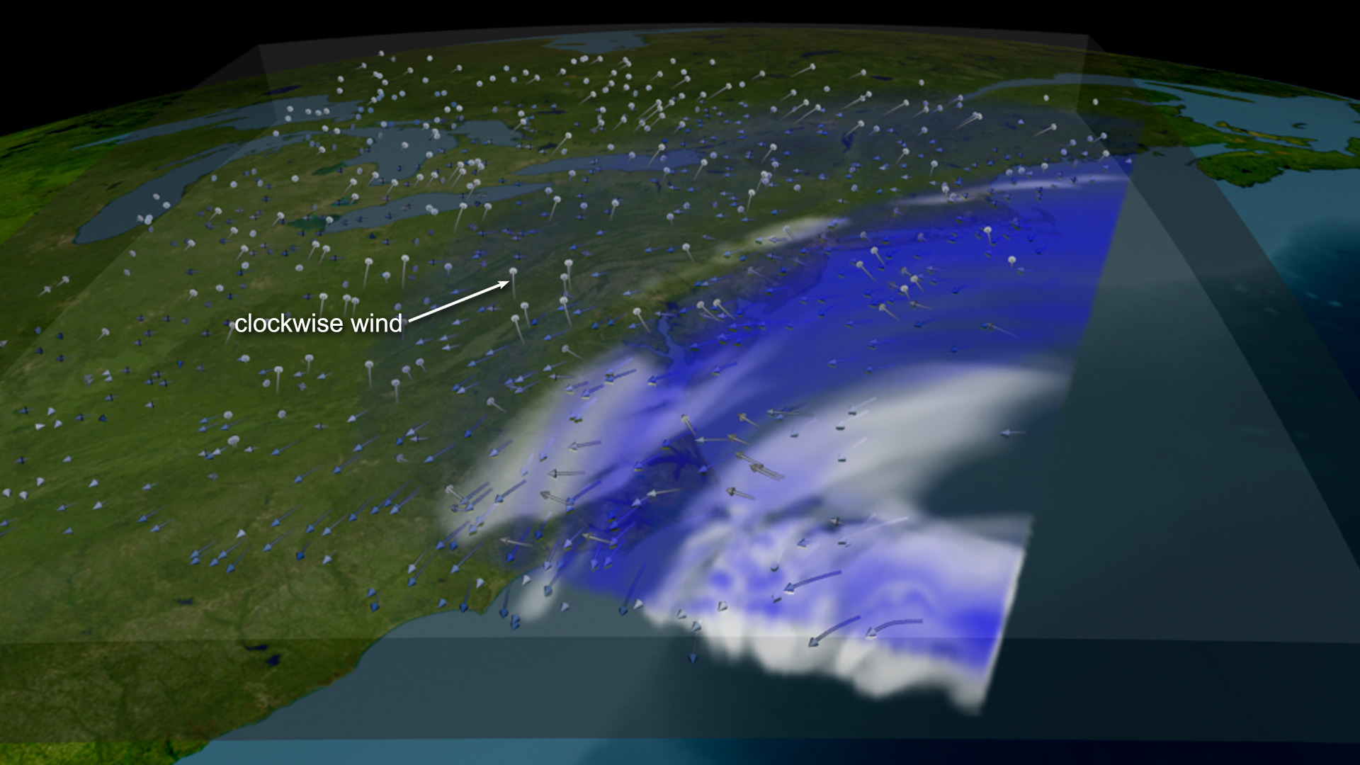
After weakening from a Category 5 storm over the Atlantic Ocean, Hurricane Isabel made landfall on September 18, 2003, at North Carolina's Outer Banks with Category 2 status, then skirted up the U.S. coast as a tropical storm. Researchers tracked the storm from the ground, air and space, but observations can't reveal all of a storm's inner workings. So models are used to explore the physical processes associated with storm formation, structure and intensification. Calculations are performed within a virtual cube of the atmosphere, creating a 3D version of the storm. Details revealed could help forecasters more accurately predict the path and intensity of hurricanes. This NASA visualization merges global and regional data into a high-resolution weather model to recreate Hurricane Isabel. Watch the simulated features of the storm, from spinning winds and spiral cloud bands, to a realistic eye-like center.

Dissecting Isabel
Related Stories
Story Credits
Visualizers/Animators:
Greg Shirah (NASA/GSFC)
Horace Mitchell (NASA/GSFC)
Video Editor:
Kayvon Sharghi (USRA)
Producer:
Michael Starobin (HTSI)
Lead Scientist:
Tsendgar J. Lee (NASA/HQ)
Lead Writer:
Kathryn Hansen (Wyle Information Systems)
Greg Shirah (NASA/GSFC)
Horace Mitchell (NASA/GSFC)
Video Editor:
Kayvon Sharghi (USRA)
Producer:
Michael Starobin (HTSI)
Lead Scientist:
Tsendgar J. Lee (NASA/HQ)
Lead Writer:
Kathryn Hansen (Wyle Information Systems)
Please give credit for this item to:
NASA's Goddard Space Flight Center
ISS image courtesy of Johnson Space Center
NASA's Goddard Space Flight Center
ISS image courtesy of Johnson Space Center
Short URL to share this page:
https://svs.gsfc.nasa.gov/11009
Keywords:
SVS >> App
NASA Science >> Earth
https://svs.gsfc.nasa.gov/11009
Keywords:
SVS >> App
NASA Science >> Earth


