Earth
ID: 4076
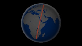
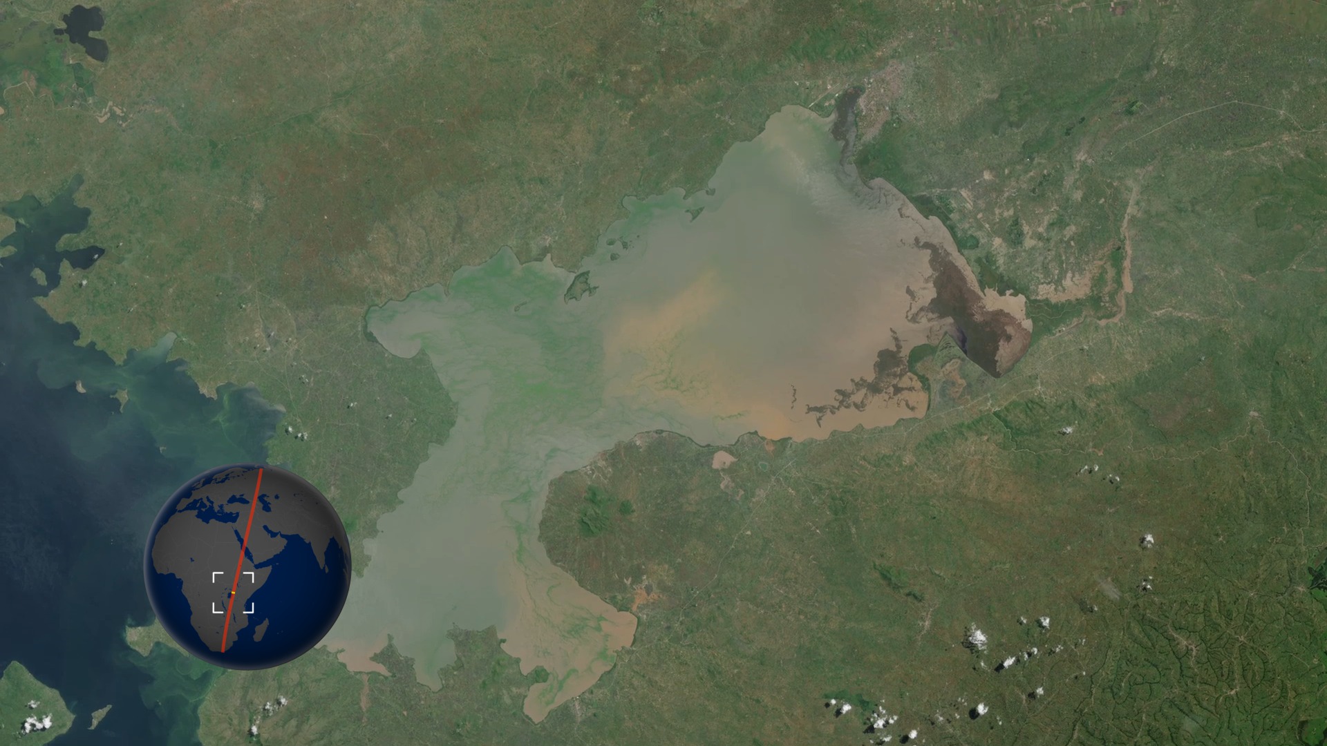
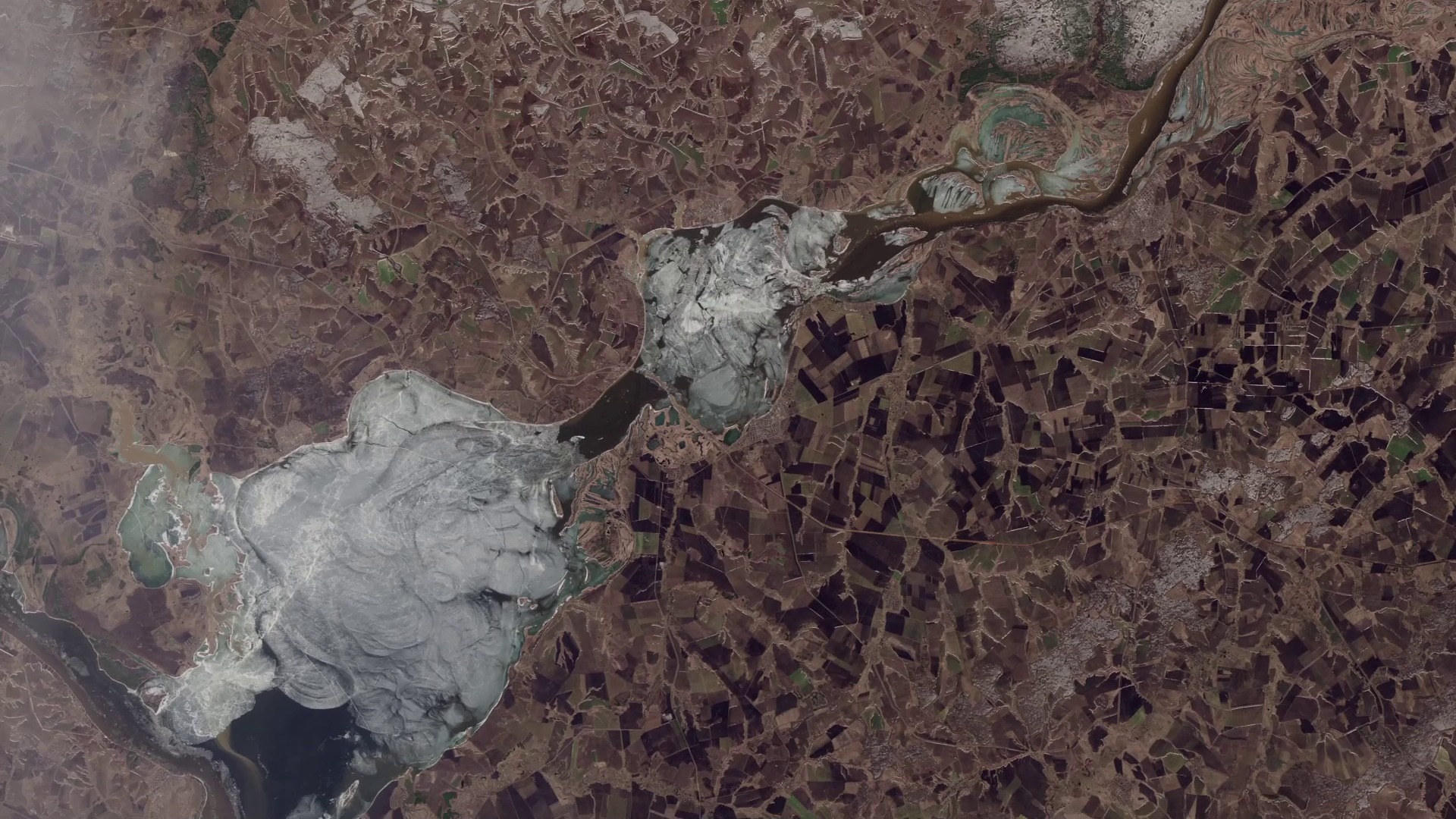
Landsat-8 launched February 11th, 2013. This visualization shows one of the first full swaths of data taken on April 19th, 2013, only one week after Landsat-8 ascended to its final altitude of 438 miles (705 km).
Landsat-8 Long Swath
Related
Visualization Credits
Alex Kekesi (Global Science and Technology, Inc.): Lead Animator
Matthew R. Radcliff (USRA): Video Editor
Matthew R. Radcliff (USRA): Producer
James R. Irons (NASA/GSFC): Scientist
Jesse Allen (Sigma Space Corporation): Project Support
Robert Simmon (Sigma Space Corporation): Project Support
Laurence Schuler (ADNET Systems, Inc.): Project Support
Ian Jones (ADNET Systems, Inc.): Project Support
Leann Johnson (Global Science and Technology, Inc.): Project Support
Please give credit for this item to:
NASA's Goddard Space Flight Center Scientific Visualization Studio
NASA's Goddard Space Flight Center Scientific Visualization Studio
Short URL to share this page:
https://svs.gsfc.nasa.gov/4076
Mission:
Landsat
Data Used:
Note: While we identify the data sets used in these visualizations, we do not store any further details nor the data sets themselves on our site.
This item is part of these series:
Landsat
LDCM
Keywords:
SVS >> HDTV
GCMD >> Location >> Red Sea
GCMD >> Location >> Iraq
GCMD >> Location >> Saudi Arabia
GCMD >> Location >> Syria
GCMD >> Location >> Africa
GCMD >> Location >> Middle East
NASA Science >> Earth
GCMD keywords can be found on the Internet with the following citation: Olsen, L.M., G. Major, K. Shein, J. Scialdone, S. Ritz, T. Stevens, M. Morahan, A. Aleman, R. Vogel, S. Leicester, H. Weir, M. Meaux, S. Grebas, C.Solomon, M. Holland, T. Northcutt, R. A. Restrepo, R. Bilodeau, 2013. NASA/Global Change Master Directory (GCMD) Earth Science Keywords. Version 8.0.0.0.0
https://svs.gsfc.nasa.gov/4076
Mission:
Landsat
Data Used:
Landsat-8/OLI/Band Combination 2,3,4 also referred to as: True Color
Observed DataThis item is part of these series:
Landsat
LDCM
Keywords:
SVS >> HDTV
GCMD >> Location >> Red Sea
GCMD >> Location >> Iraq
GCMD >> Location >> Saudi Arabia
GCMD >> Location >> Syria
GCMD >> Location >> Africa
GCMD >> Location >> Middle East
NASA Science >> Earth
GCMD keywords can be found on the Internet with the following citation: Olsen, L.M., G. Major, K. Shein, J. Scialdone, S. Ritz, T. Stevens, M. Morahan, A. Aleman, R. Vogel, S. Leicester, H. Weir, M. Meaux, S. Grebas, C.Solomon, M. Holland, T. Northcutt, R. A. Restrepo, R. Bilodeau, 2013. NASA/Global Change Master Directory (GCMD) Earth Science Keywords. Version 8.0.0.0.0


