Earth
ID: 11647
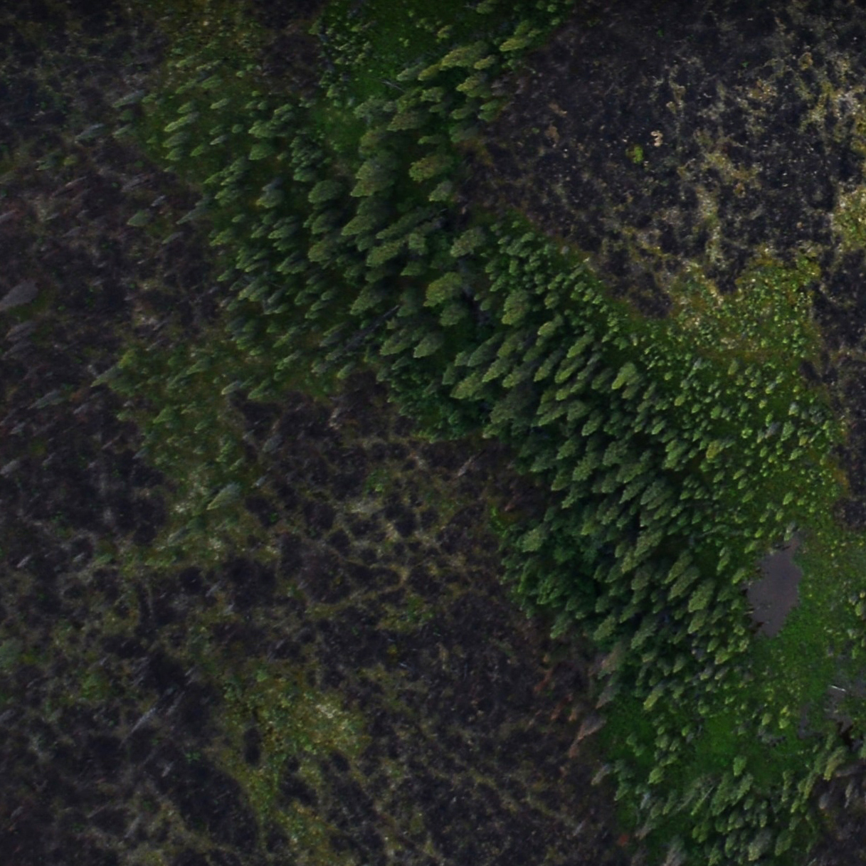
This is a 15-second video explaining why NASA and the U.S. Forest Service are surveying Alaska's forests.
Instagram: Mapping Alaska's Forests
NASA and the U.S. Forest Service are surveying the forests of Interior Alaska by plane. An advanced instrument will be used to create a 3D map of the forest composition. This will enable scientists to see patterns of fire recovery and provide a benchmark for future changes to the region.
For More Information
http://instagram.com/nasagoddard
http://earthobservatory.nasa.gov/blogs/fromthefield/category/nasa-in-alaska-2014
Credits
Joy Ng (USRA): Producer
Bruce Cook (NASA/GSFC): Scientist
Doug C. Morton (NASA/GSFC): Scientist
Joy Ng (USRA): Narrator
Aaron E. Lepsch (ADNET Systems, Inc.): Project Support
Bruce Cook (NASA/GSFC): Scientist
Doug C. Morton (NASA/GSFC): Scientist
Joy Ng (USRA): Narrator
Aaron E. Lepsch (ADNET Systems, Inc.): Project Support
Please give credit for this item to:
NASA's Goddard Space Flight Center
NASA's Goddard Space Flight Center
Short URL to share this page:
https://svs.gsfc.nasa.gov/11647
This item is part of this series:
Narrated Movies
Keywords:
NASA Science >> Earth
DLESE >> Narrated
https://svs.gsfc.nasa.gov/11647
This item is part of this series:
Narrated Movies
Keywords:
NASA Science >> Earth
DLESE >> Narrated


