The View from Space: Data Visualizations of Hurricane Katrina
Overview
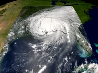
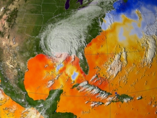
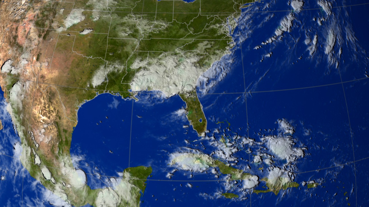
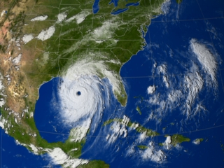
In the last week of August 2005, what had originated as a disturbance off the western coast of Africa transformed into a devastating storm, ravaging the southern United States.
Water consumed the coast of the Gulf of Mexico, submerging chunks of Florida, Louisiana and Mississippi.
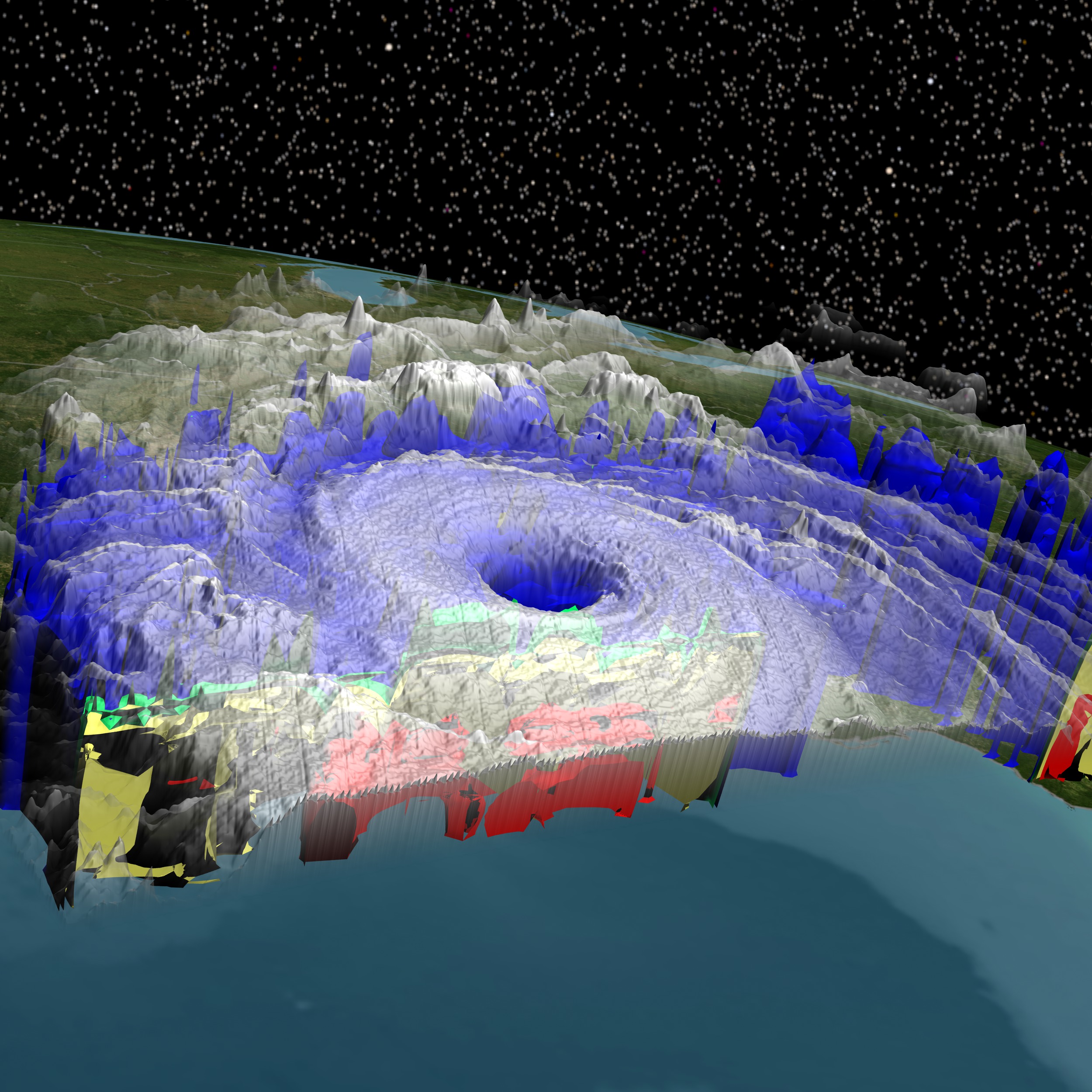
NASA’s satellites watched the devastation from overhead, sending down a deluge of data that scientists would study for years to come.
For more information about Hurricane Katrina:
http://www.nasa.gov/mission_pages/hurricanes/archives/2005/h2005_katrina.html
Visuals
- ID: 3354
 Visualization
 - ID: 3224
 Visualization
 - ID: 3745
 Visualization
 - ID: 3222
 Visualization
 - ID: 3221
 Visualization
 - ID: 3251
 Visualization
 - ID: 3253
 Visualization
 - ID: 3486
 Visualization
 Link
Link- ID: 11870
 Produced Video