Earth
ID: 857
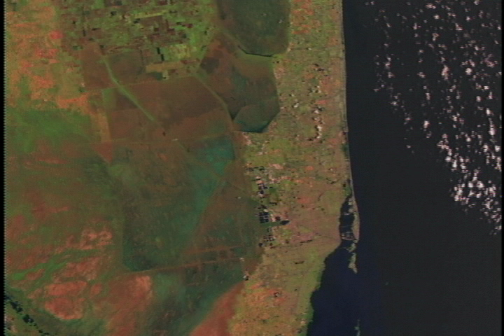
These scenes show Miami and Fort Lauderdale as seen by the Landsat Thematic Mapper (TM) instrument. The shortwave infrared (TM band 5), infrared (TM band 4), and visible green (TM band 2) channels are displayed in the images as red, green, and blue respectively. In this combination, barren and/or recently cultivated land appears red to pink, vegetation appears green, water is dark blue, and artificial structures of concrete and asphalt appear dark gray or black.
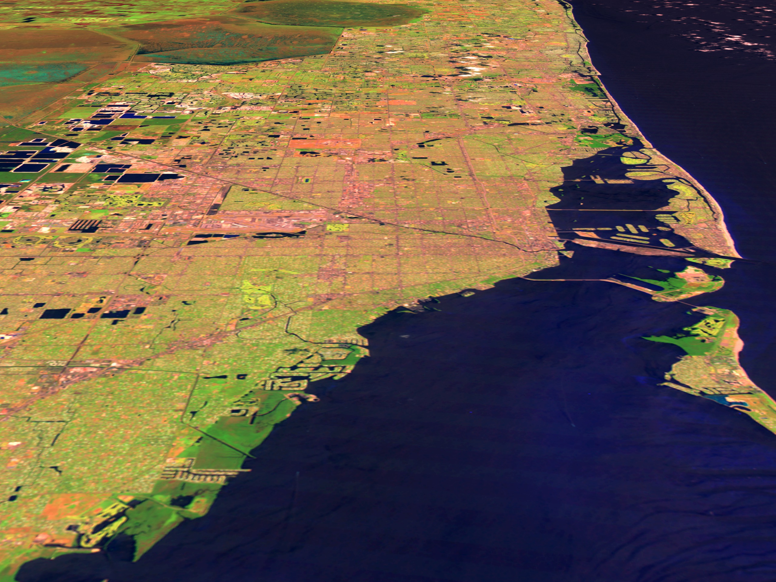
Miami/Fort Lauderdale Flyby
For More Information
Visualization Credits
Please give credit for this item to:
NASA/Goddard Space Flight Center Scientific Visualization Studio
NASA/Goddard Space Flight Center Scientific Visualization Studio
Short URL to share this page:
https://svs.gsfc.nasa.gov/857
Mission:
Landsat
Data Used:
Note: While we identify the data sets used in these visualizations, we do not store any further details nor the data sets themselves on our site.
This item is part of this series:
USCities
Goddard TV Tape:
G1999-021
Keywords:
DLESE >> Human geography
SVS >> Miami
DLESE >> Physical geography
NASA Science >> Earth
https://svs.gsfc.nasa.gov/857
Mission:
Landsat
Data Used:
Landsat-5/TM
1998/05/14This item is part of this series:
USCities
Goddard TV Tape:
G1999-021
Keywords:
DLESE >> Human geography
SVS >> Miami
DLESE >> Physical geography
NASA Science >> Earth


