Next Tape
Goddard TV Video Tape: G1999-021
Movie
Title
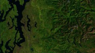
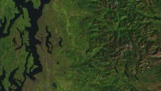
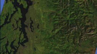
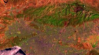
Seattle (432) x2 Vertical Exaggeration, Mt. Rainier
Seattle
Seattle
Atlanta Flyby with Opening Labels (542)
Pittsburgh (542) With Terrain Data, x 3 Exaggeration
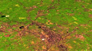
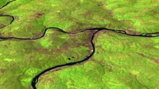
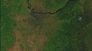
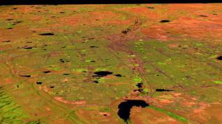
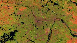
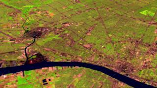
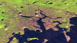
Washington D.C. and Baltimore With Terrain, x 3 Exaggeration
Washington D.C. and Baltimore With Terrain, x 3 Exaggeration
Dallas and Fort Worth Flyby
Portland Flyby
Sacramento Flyby
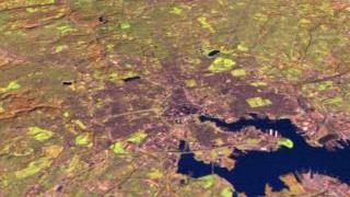
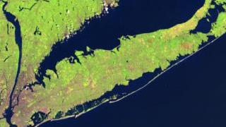
New York City Flyby
Denver Flyby
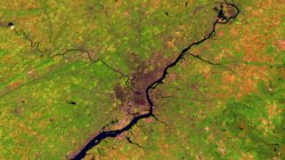
St. Louis Flyby
San Diego Flyby
Phoenix Flyby
Minneapolis Flyby
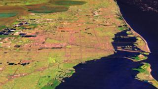
Miami/Fort Lauderdale Flyby
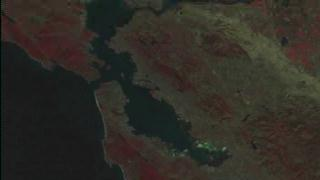
San Francisco Flyby: Channels 432
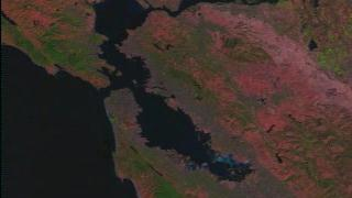
San Francisco Flyby: Channels 543
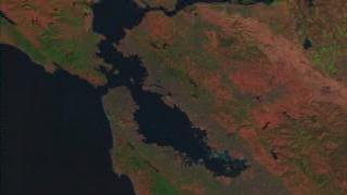
San Francisco Flyby: Channels 542
Philadelphia Flyby
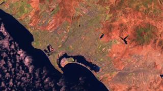
Los Angeles Flyby
Detroit Flyby
Dallas Flyby
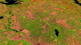
Chicago Flyby
Boston Flyby
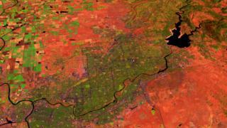
Atlanta Flyby
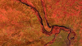
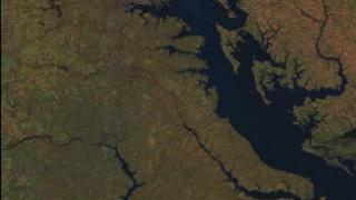
Flight along the Washington-Baltimore Corridor