Earth
ID: 3403
ICESat satellite laser altimeter elevation profiles from 2003-2006 collected over West Antarctica reveal numerous regions of temporally varying elevation. MODIS satellite imagery over roughly the same time period collaborates where these subglacial fluctuations have occurred. These observations have led scientists to conclude that subglacial water movement is happening in this lake region, revealing a widespread, dynamic subglacial water system that could provide important insights into ice flow and the mass balance of Antarctica's ice.
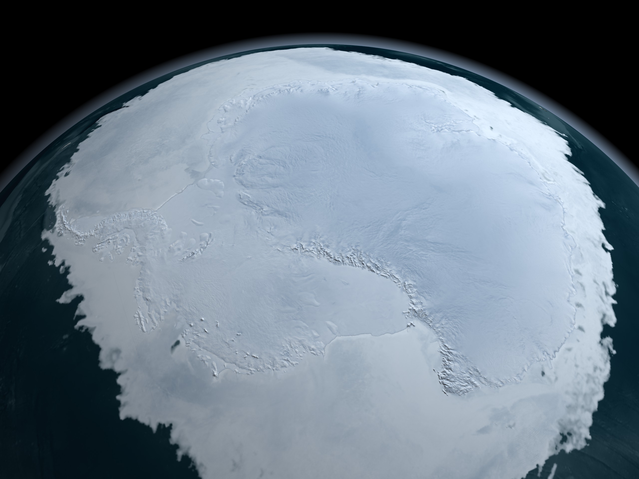

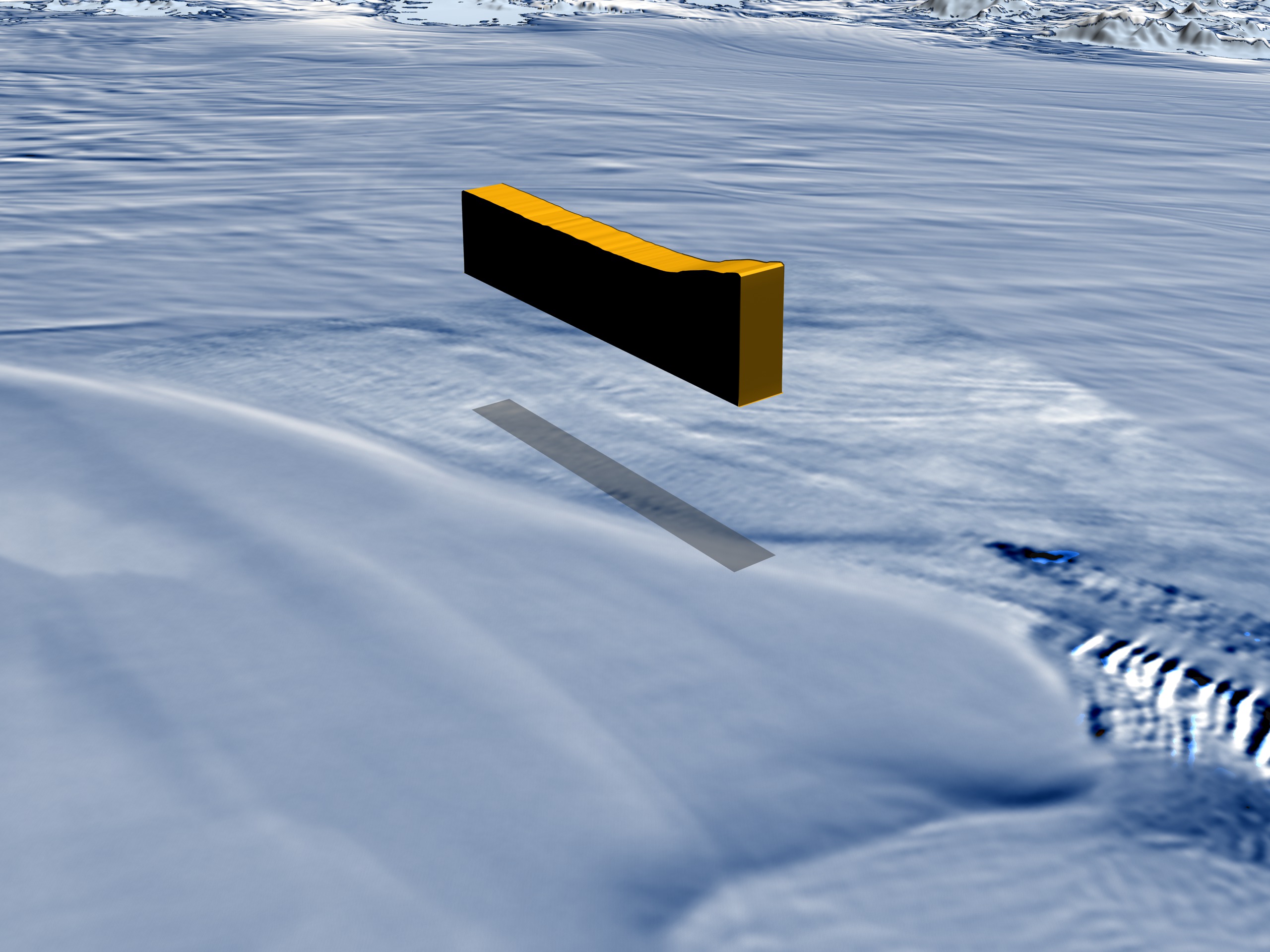
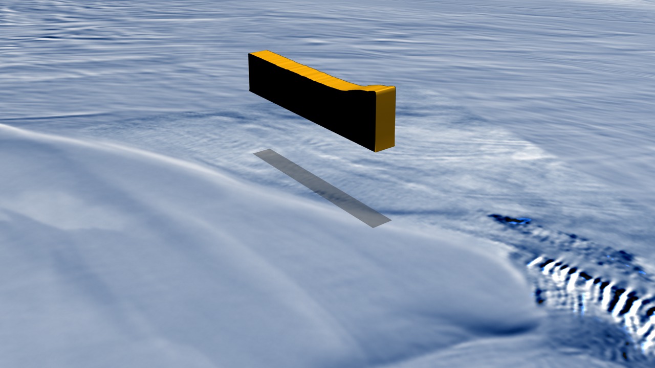
Antarctic Plumbing: Lake Englehardt's Subglacial Hydraulic System
For More Information
Visualization Credits
Alex Kekesi (Global Science and Technology, Inc.): Lead Animator
Cindy Starr (Global Science and Technology, Inc.): Visualizer
Lori Perkins (NASA/GSFC): Animator
Ted Scambos (NSIDC): Scientist
Bob Bindschadler (NASA/GSFC): Scientist
Helen Amanda Fricker (Scripps Institution of Oceanography, University of California, San Diego): Scientist
Laurie Padman (Earth and Space Research): Scientist
Please give credit for this item to:
NASA/Goddard Space Flight Center Scientific Visualization Studio The Blue Marble Next Generation data is courtesy of Reto Stockli (NASA/GSFC) and NASA's Earth Observatory.
NASA/Goddard Space Flight Center Scientific Visualization Studio The Blue Marble Next Generation data is courtesy of Reto Stockli (NASA/GSFC) and NASA's Earth Observatory.
Science Paper:
'An Active Subglacial Water System in West Antarctica Mapped from Space', Science Express, 2007 Feb 15
Short URL to share this page:
https://svs.gsfc.nasa.gov/3403
Missions:
Ice, Cloud, and land Elevation Satellite (ICESat)
Terra
Data Used:
Note: While we identify the data sets used in these visualizations, we do not store any further details nor the data sets themselves on our site.
Goddard TV Tape:
G2007-001HD -- NASA's HD Climate Change Resource Tape
Keywords:
SVS >> Antarctic
SVS >> Antarctic Ice Sheet
SVS >> HDTV
GCMD >> Earth Science >> Cryosphere >> Glaciers/Ice Sheets
GCMD >> Earth Science >> Hydrosphere >> Glaciers/Ice Sheets
GCMD >> Earth Science >> Climate Indicators >> Teleconnections >> Antarctic Oscillation
GCMD >> Earth Science >> Cryosphere >> Glaciers/Ice Sheets >> Glacier Elevation/Ice Sheet Elevation
GCMD >> Earth Science >> Cryosphere >> Glaciers/Ice Sheets >> Glacier Mass Balance/Ice Sheet Mass Balance
GCMD >> Earth Science >> Cryosphere >> Glaciers/Ice Sheets >> Glacier Thickness/Ice Sheet Thickness
GCMD >> Earth Science >> Cryosphere >> Glaciers/Ice Sheets >> Glacier Topography/Ice Sheet Topography
GCMD >> Earth Science >> Hydrosphere >> Glaciers/Ice Sheets >> Glacier Elevation/Ice Sheet Elevation
GCMD >> Earth Science >> Hydrosphere >> Glaciers/Ice Sheets >> Glacier Mass Balance/Ice Sheet Mass Balance
GCMD >> Location >> Antarctica
NASA Science >> Earth
GCMD keywords can be found on the Internet with the following citation: Olsen, L.M., G. Major, K. Shein, J. Scialdone, S. Ritz, T. Stevens, M. Morahan, A. Aleman, R. Vogel, S. Leicester, H. Weir, M. Meaux, S. Grebas, C.Solomon, M. Holland, T. Northcutt, R. A. Restrepo, R. Bilodeau, 2013. NASA/Global Change Master Directory (GCMD) Earth Science Keywords. Version 8.0.0.0.0
'An Active Subglacial Water System in West Antarctica Mapped from Space', Science Express, 2007 Feb 15
Short URL to share this page:
https://svs.gsfc.nasa.gov/3403
Missions:
Ice, Cloud, and land Elevation Satellite (ICESat)
Terra
Data Used:
Terra and Aqua/MODIS/MODIS Mosaic of Antarctica (MOA) Image Map also referred to as: MOA
Mosaic - National Snow and Ice Data Center (NSIDC) and the University of New Hampshire - 2003/11/30 - 2004/02/29
Staff from the National Snow and Ice Data Center (NSIDC) and the University of New Hampshire have assembled two digital image maps of surface morphology and optical snow grain size that cover the Antarctic continent and its surrounding islands. The MODIS Mosaic of Antarctica (MOA) image maps are derived from composites of 260 MODIS (Moderate-resolution Imaging Spectroradiometer) orbit swaths acquired between 20 November 2003 and 29 February 2004. The MOA provides a cloud-free view of the ice sheet, ice shelves, and land surfaces, and a quantitative measure of optical snow grain size for snow- or ice-covered areas. All land areas larger than a few hundred meters that are south of 60° S are included in the mosaic, as well as persistent fast ice regions and some grounded icebergs present near the coast in the 2003-2004 austral summer. The MOA surface morphology image map is derived from digitally processed MODIS Band 1 data. The optical snow grain size image is compiled using a normalized ratio of atmospherically corrected, calibrated band radiance data from Bands 1 and 2.
Aqua/AMSR-E/Level 3 12.5 km Sea Ice Concentration also referred to as: Sea Ice Concentration
2006/10/12ICESat/GLAS
2003/10/24 and 2006/06/02 (Orbits 4250 and 18414)Terra and Aqua/MODIS/Blue Marble: Next Generation also referred to as: BMNG
2004/10
Credit:
The Blue Marble data is courtesy of Reto Stockli (NASA/GSFC).
The Blue Marble data is courtesy of Reto Stockli (NASA/GSFC).
Aqua/AMSR-E/Daily L3 6.25 km 89 GHz Brightness Temperature (Tb)
2006/10/12Terra/MODIS
3 day averages: 2002/12 and 2005/12Aqua/MODIS
3 day averages: 2002/12 and 2005/12Goddard TV Tape:
G2007-001HD -- NASA's HD Climate Change Resource Tape
Keywords:
SVS >> Antarctic
SVS >> Antarctic Ice Sheet
SVS >> HDTV
GCMD >> Earth Science >> Cryosphere >> Glaciers/Ice Sheets
GCMD >> Earth Science >> Hydrosphere >> Glaciers/Ice Sheets
GCMD >> Earth Science >> Climate Indicators >> Teleconnections >> Antarctic Oscillation
GCMD >> Earth Science >> Cryosphere >> Glaciers/Ice Sheets >> Glacier Elevation/Ice Sheet Elevation
GCMD >> Earth Science >> Cryosphere >> Glaciers/Ice Sheets >> Glacier Mass Balance/Ice Sheet Mass Balance
GCMD >> Earth Science >> Cryosphere >> Glaciers/Ice Sheets >> Glacier Thickness/Ice Sheet Thickness
GCMD >> Earth Science >> Cryosphere >> Glaciers/Ice Sheets >> Glacier Topography/Ice Sheet Topography
GCMD >> Earth Science >> Hydrosphere >> Glaciers/Ice Sheets >> Glacier Elevation/Ice Sheet Elevation
GCMD >> Earth Science >> Hydrosphere >> Glaciers/Ice Sheets >> Glacier Mass Balance/Ice Sheet Mass Balance
GCMD >> Location >> Antarctica
NASA Science >> Earth
GCMD keywords can be found on the Internet with the following citation: Olsen, L.M., G. Major, K. Shein, J. Scialdone, S. Ritz, T. Stevens, M. Morahan, A. Aleman, R. Vogel, S. Leicester, H. Weir, M. Meaux, S. Grebas, C.Solomon, M. Holland, T. Northcutt, R. A. Restrepo, R. Bilodeau, 2013. NASA/Global Change Master Directory (GCMD) Earth Science Keywords. Version 8.0.0.0.0


