Earth
ID: 2395
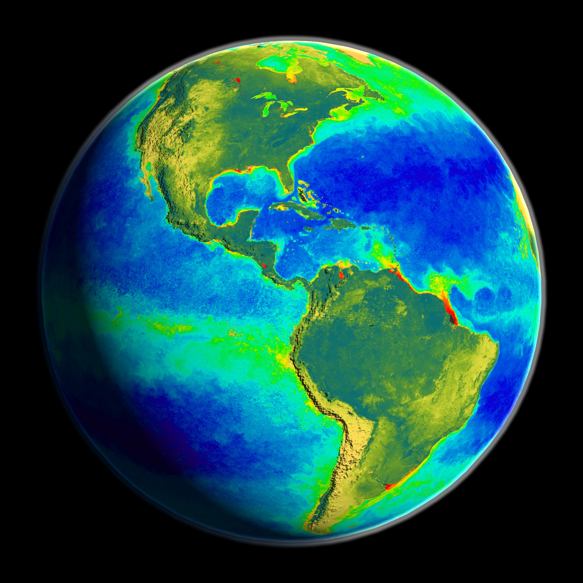
Akin to a living creature, Earth's land, air, oceans, ice, and life fit together into a complex, interlocking system. Space affords a unique vantage point from which to observe the daily, seasonal, and annual changes in Earth's systems. Using data from advanced satellites, NASA visualizations portray a majestic, and sometimes violent, natural world and also capture the influences humans have on the planet.
Over 80 NASA-related earth science animations created over the past 8 years implementing realtime and non-realtime techniques have been used on this visual journey. Tools used included IDL, Lightwave3D, Final Cut Pro, Performer, Vis5D, and custom software.
Pulse of the Planet
Over 80 NASA-related earth science animations created over the past 8 years implementing realtime and non-realtime techniques have been used on this visual journey. Tools used included IDL, Lightwave3D, Final Cut Pro, Performer, Vis5D, and custom software.
Visualization Credits
Alex Kekesi (Global Science and Technology, Inc.): Lead Animator
Stuart A. Snodgrass (GST): Animator
Greg Shirah (NASA/GSFC): Animator
Tom Bridgman (Global Science and Technology, Inc.): Animator
Joycelyn Thomson (NASA/GSFC): Animator
Lori Perkins (NASA/GSFC): Animator
Randall Jones (GST): Animator
Horace Mitchell (NASA/GSFC): Animator
Marte Newcombe (GST): Animator
Eric Sokolowsky (GST): Animator
James W. Williams (GST): Animator
Jesse Allen (Raytheon): Animator
Tom Biddlecome (Raytheon): Animator
Michael Mangos (GST): Animator
Steve Maher (NASA/GSFC): Animator
Dave Pape (NASA): Animator
Jim Strong (NASA/GSFC): Animator
George Fekete (Raytheon): Animator
Liam Krauss (Hughes STX): Animator
Edgar Russell (NASA): Animator
Dorothy Hall (NASA/GSFC): Scientist
Janet Chien (NASA/GSFC): Scientist
Gene Feldman (NASA/GSFC): Scientist
Fritz Hasler (NASA/GSFC): Scientist
G. Lai (NASA/GSFC): Scientist
Ed Rodgers (NASA/GSFC): Scientist
M. Karyampudi (NASA/GSFC): Scientist
Kannappan Palaniappan (NASA/GSFC): Scientist
Steve Maher (NASA/GSFC): Scientist
Antonio Busalacchi (NASA/GSFC): Scientist
Darrel Williams (NASA/GSFC): Scientist
Dennis Chesters (NASA/GSFC): Scientist
Chris Kummerow (NASA/GSFC): Scientist
Paul Newman (NASA/GSFC): Scientist
Bob Bindschadler (NASA/GSFC): Scientist
William Krabill (NASA/GSFC Wallops): Scientist
Serdar Manizade (NASA/GSFC Wallops): Scientist
Claire Parkinson (NASA/GSFC): Scientist
David Adamec (NASA/GSFC): Scientist
Mark Friedl (Boston University): Scientist
John Hodges (Boston University): Scientist
Alfredo Huete (The University of Arizona): Scientist
Kamel Didan (The University of Arizona): Scientist
Alex Kekesi (Global Science and Technology, Inc.): Writer
Jarrett Cohen (GST): Writer
Please give credit for this item to:
NASA/Goddard Space Flight Center, The SeaWiFS Project and GeoEye, Scientific Visualization Studio, Landsat-7 Project, and USGS EROS Data Center. NOTE: All SeaWiFS images and data presented on this web site are for research and educational use only. All commercial use of SeaWiFS data must be coordinated with GeoEye (NOTE: In January 2013, DigitalGlobe and GeoEye combined to become one DigitalGlobe.).
NASA/Goddard Space Flight Center, The SeaWiFS Project and GeoEye, Scientific Visualization Studio, Landsat-7 Project, and USGS EROS Data Center. NOTE: All SeaWiFS images and data presented on this web site are for research and educational use only. All commercial use of SeaWiFS data must be coordinated with GeoEye (NOTE: In January 2013, DigitalGlobe and GeoEye combined to become one DigitalGlobe.).
Short URL to share this page:
https://svs.gsfc.nasa.gov/2395
Dates of Data Used:
Various
Keywords:
DLESE >> Atmospheric science
DLESE >> Biological oceanography
DLESE >> Cryology
DLESE >> Human geography
DLESE >> Natural hazards
DLESE >> Physical geography
DLESE >> Physical oceanography
SVS >> SIGGRAPH
NASA Science >> Earth
https://svs.gsfc.nasa.gov/2395
Dates of Data Used:
Various
Keywords:
DLESE >> Atmospheric science
DLESE >> Biological oceanography
DLESE >> Cryology
DLESE >> Human geography
DLESE >> Natural hazards
DLESE >> Physical geography
DLESE >> Physical oceanography
SVS >> SIGGRAPH
NASA Science >> Earth


