Fly Above Alaskan Glaciers in 360
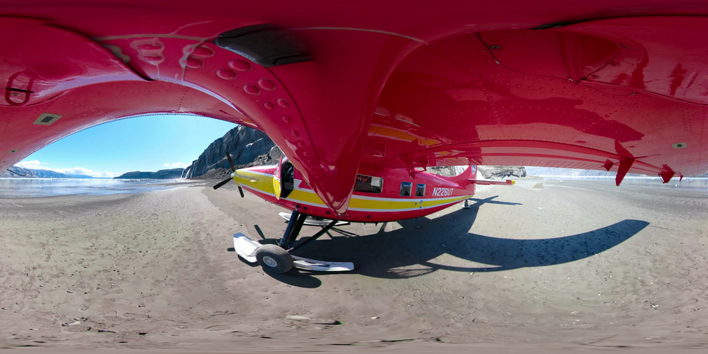
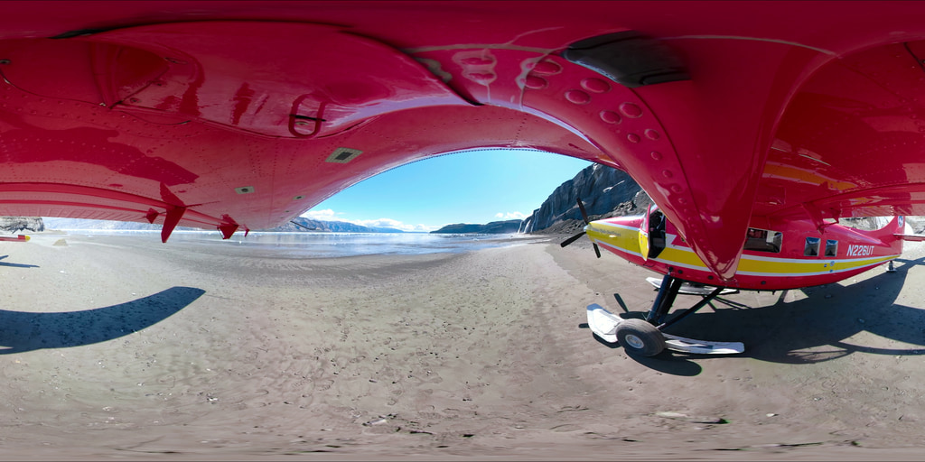
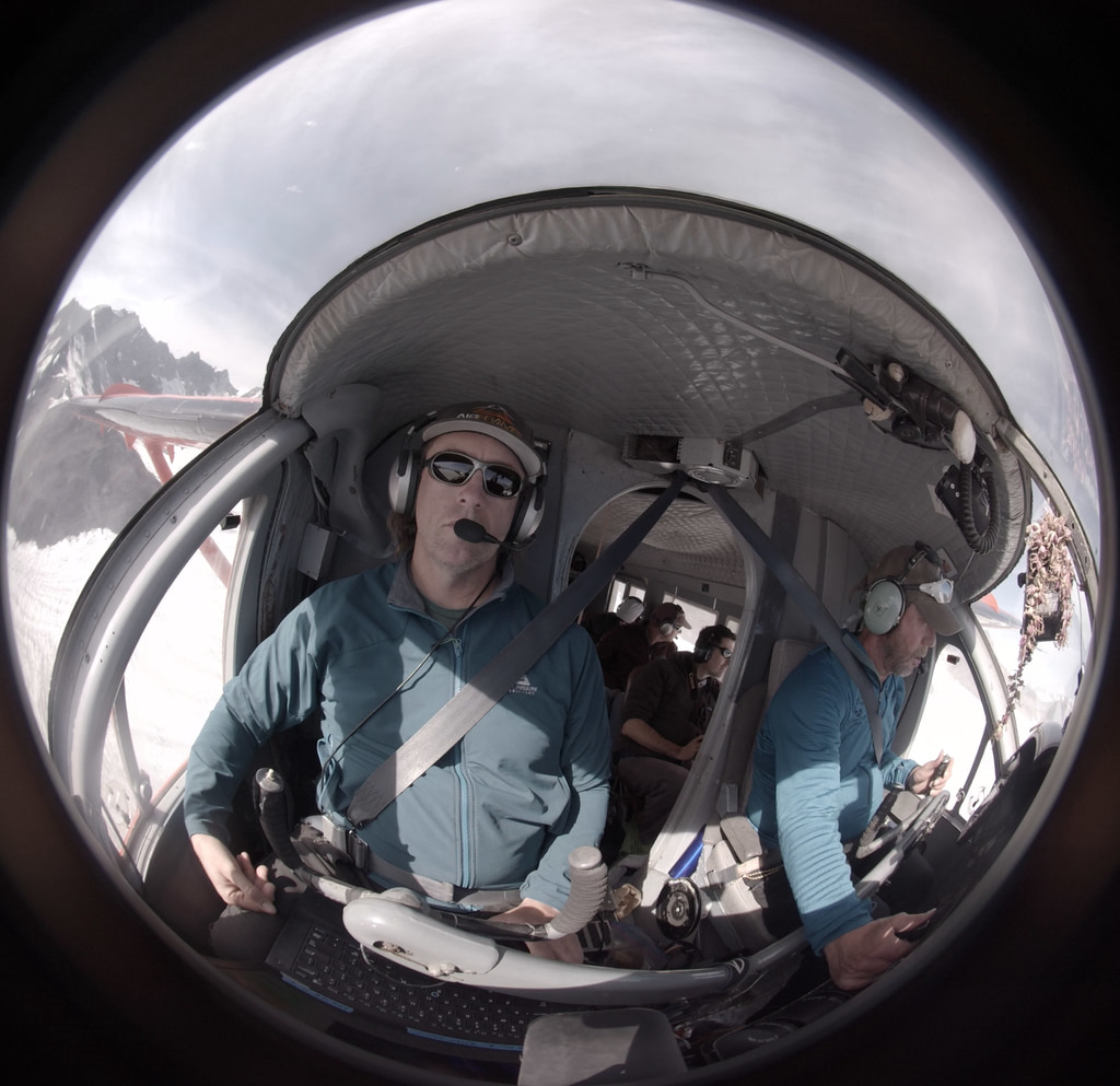
IceBridge has been measuring Earth’s changing glaciers and ice sheets since 2009 using a range of large and small aircraft and a wide variety of scientific instruments, from laser altimeters, to radar, to magnetometers and gravimeters. IceBridge was conceived to avoid a gap in measurements of ice height between two satellite missions: NASA’s Ice, Cloud, and land Elevation Satellite (ICESat), which stopped collecting data in 2009, and its ICESat-2, which launched in 2018. While scientists at NASA’s Goddard Space Flight Center in Greenbelt, Maryland, have managed the two larger yearly field campaigns in the Arctic and Antarctica, monitoring Alaskan glaciers fell on a smaller team based at the University of Fairbanks, Alaska. The Alaskan aircraft is owned and piloted by Paul Claus, a bush pilot who’s logged more than 35,000 flight hours, mostly in the wilderness. Claus hand-flies all of IceBridge’s data collection lines along Alaskan glaciers, because the flight paths are often meandering and close to ridge lines, which does not allow for auto pilot. Claus’s intimate knowledge of Alaska’s tricky mountain weather is vital for the mission’s safety and efficiency.
For more about Operation IceBridge Alaska: https://www.nasa.gov/feature/goddard/2019/a-decade-of-icebridge-alaska-flights
https://www.facebook.com/NASAExplorersSeries/videos/819654405039045/
https://www.facebook.com/NASAExplorersSeries/videos/311866612753946/
Credits
Chris Larsen (University of Alaska Fairbanks): Lead Scientist
Martin Truffer (Geophysical Institute, University of Alaska Fairbanks): Lead Scientist
NASA's Goddard Space Flight Center
https://svs.gsfc.nasa.gov/13711
Mission:
Operation IceBridge
Keywords:
SVS >> Climate
SVS >> Airplane
GCMD >> Location >> Alaska
SVS >> Operation IceBridge
SVS >> Glaciers
NASA Science >> Earth
SVS >> 360
GCMD keywords can be found on the Internet with the following citation: Olsen, L.M., G. Major, K. Shein, J. Scialdone, S. Ritz, T. Stevens, M. Morahan, A. Aleman, R. Vogel, S. Leicester, H. Weir, M. Meaux, S. Grebas, C.Solomon, M. Holland, T. Northcutt, R. A. Restrepo, R. Bilodeau, 2013. NASA/Global Change Master Directory (GCMD) Earth Science Keywords. Version 8.0.0.0.0


