Earth
ID: 13264
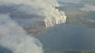
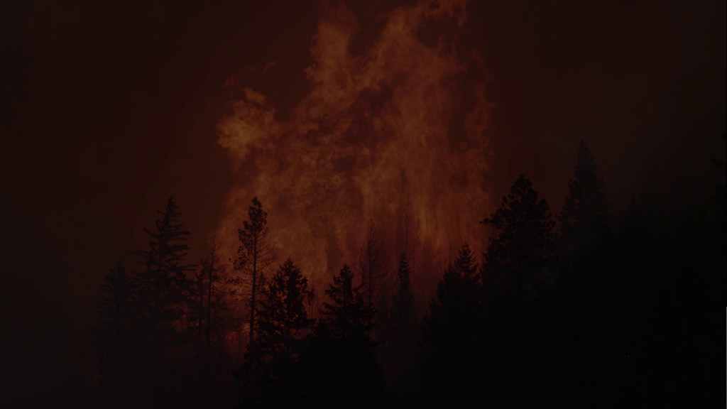
Front-line responders do the heavy lifting when it comes to fighting and managing wildfires, but they’re often helped by the view from higher up. Each year, a coordinated effort from US Forest Service aircraft teams and satellite teams from NASA and NOAA provide valuable information that help fire management teams on the ground make the best decisions possible. Satellite observations and data from new NASA airborne field campaigns also help us understand the role, frequency, and intensity of fires in a changing world.
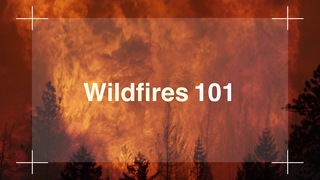
Satellites Aid Active Fire Response
For more on tracking wildfires: https://www.nasa.gov/feature/goddard/2019/nasa-tracks-wildfires-from-above-to-aid-firefighters-below
Related
Credits
Jefferson Beck (USRA): Lead Producer
Jenny Marder Fadoul (Telophase): Writer
Vince Ambrosia (California State University, Monterey Bay): Scientist
Jenny Marder Fadoul (Telophase): Writer
Vince Ambrosia (California State University, Monterey Bay): Scientist
Please give credit for this item to:
NASA's Goddard Space Flight Center
NASA's Goddard Space Flight Center
Short URL to share this page:
https://svs.gsfc.nasa.gov/13264
This item is part of this series:
Narrated Movies
Keywords:
SVS >> Fire Management
SVS >> Airplane
SVS >> Western USA
NASA Science >> Earth
GCMD >> Earth Science >> Human Dimensions >> Natural Hazards >> Wildfires
SVS >> Aircraft
GCMD keywords can be found on the Internet with the following citation: Olsen, L.M., G. Major, K. Shein, J. Scialdone, S. Ritz, T. Stevens, M. Morahan, A. Aleman, R. Vogel, S. Leicester, H. Weir, M. Meaux, S. Grebas, C.Solomon, M. Holland, T. Northcutt, R. A. Restrepo, R. Bilodeau, 2013. NASA/Global Change Master Directory (GCMD) Earth Science Keywords. Version 8.0.0.0.0


