Earth
ID: 11172
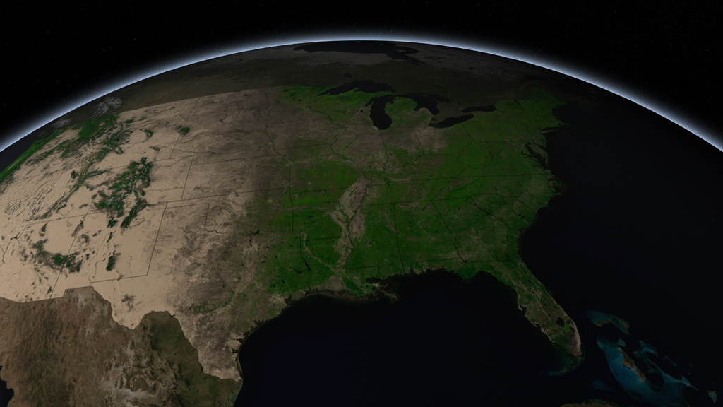
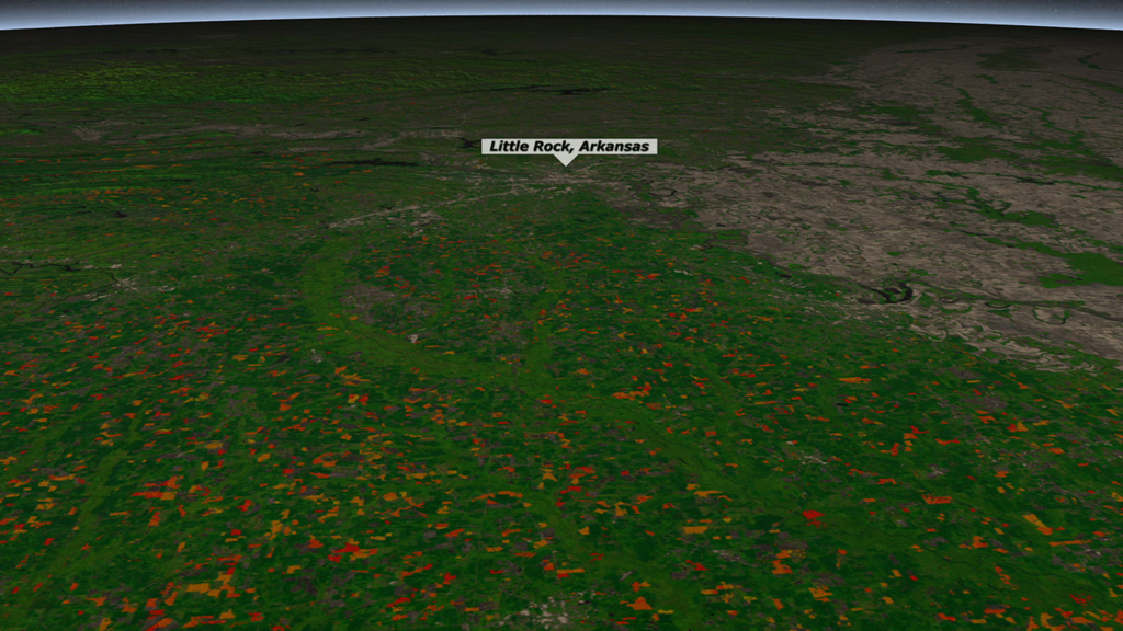
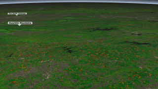
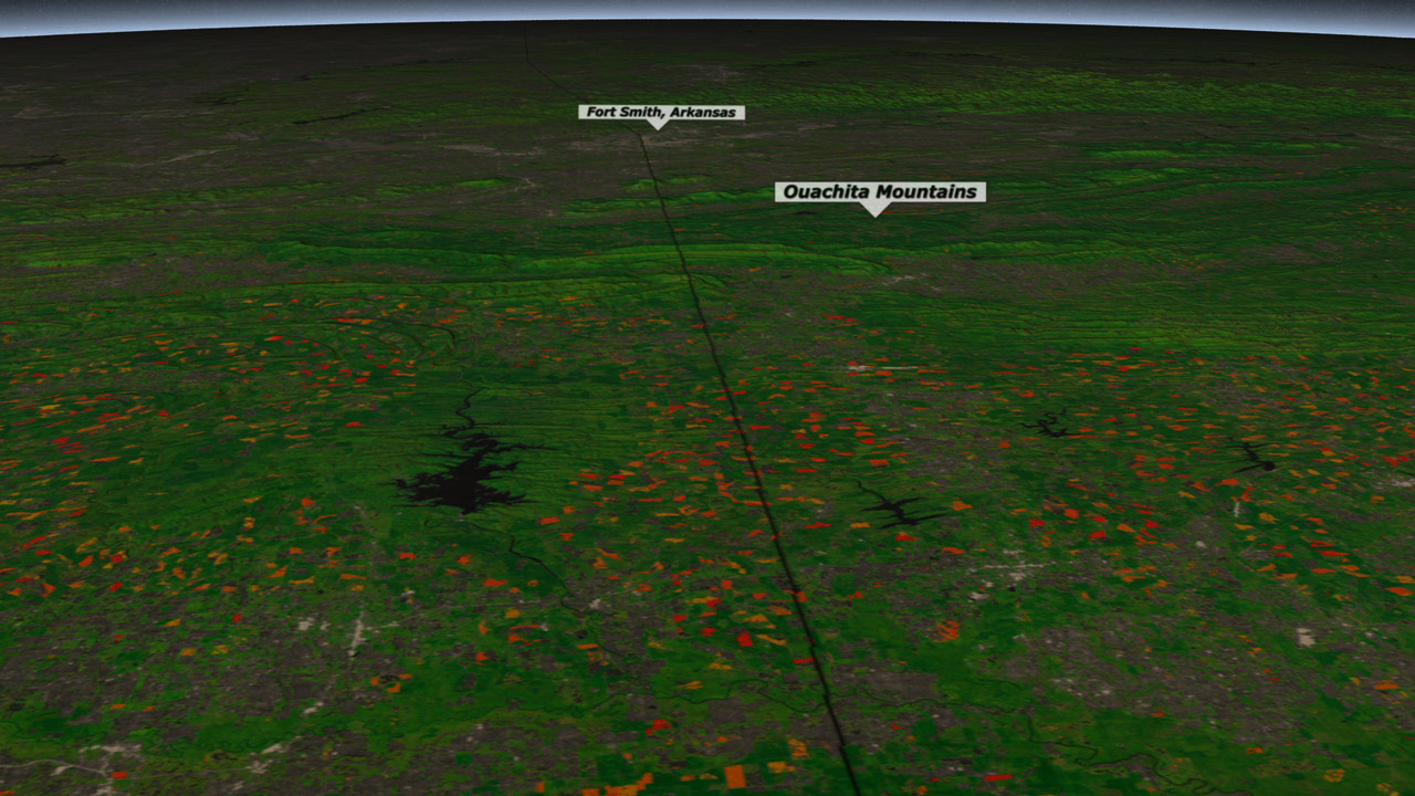
The southeastern United States is a hotspot for forestry activity. The cyclical harvest and planting of trees on lands dedicated to timber and pulp production result in some of the highest rates of forest change observed in the country. Over the past 40 years scientists have used USGS-NASA Landsat satellite data to detect changes in U.S. forest cover and monitor the impact of clearings on biodiversity and water resources. The color-coded visualization highlights vegetation change from 2006 to 2010 on land located south of the Ouachita Mountains, a mountain range that runs from central Arkansas to southeastern Oklahoma. Red areas represent forests cleared in 2010; orange areas represent clearings that took place around 2006. Land that had more than 25 percent tree cover prior to 2006 is colored green, while areas with less than 25 percent appear gray.


Chopping Wood
Related Story
Story Credits
Visualizers/Animators:
Alex Kekesi (Global Science and Technology, Inc.)
Greg Shirah (NASA/GSFC)
Narrator:
Alison Schuyler Ogden (NASA/GSFC)
Producers:
Matthew R. Radcliff (USRA)
Alison Schuyler Ogden (NASA/GSFC)
Lead Scientist:
Matt C. Hansen (University of Maryland)
Lead Writer:
Alison Schuyler Ogden (NASA/GSFC)
Alex Kekesi (Global Science and Technology, Inc.)
Greg Shirah (NASA/GSFC)
Narrator:
Alison Schuyler Ogden (NASA/GSFC)
Producers:
Matthew R. Radcliff (USRA)
Alison Schuyler Ogden (NASA/GSFC)
Lead Scientist:
Matt C. Hansen (University of Maryland)
Lead Writer:
Alison Schuyler Ogden (NASA/GSFC)
Please give credit for this item to:
NASA's Goddard Space Flight Center
NASA's Goddard Space Flight Center
Short URL to share this page:
https://svs.gsfc.nasa.gov/11172
Keywords:
DLESE >> Narrated
SVS >> App
NASA Science >> Earth
https://svs.gsfc.nasa.gov/11172
Keywords:
DLESE >> Narrated
SVS >> App
NASA Science >> Earth


