Earth
ID: 10923
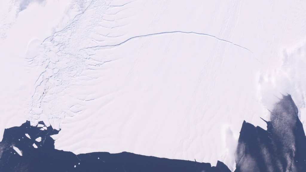
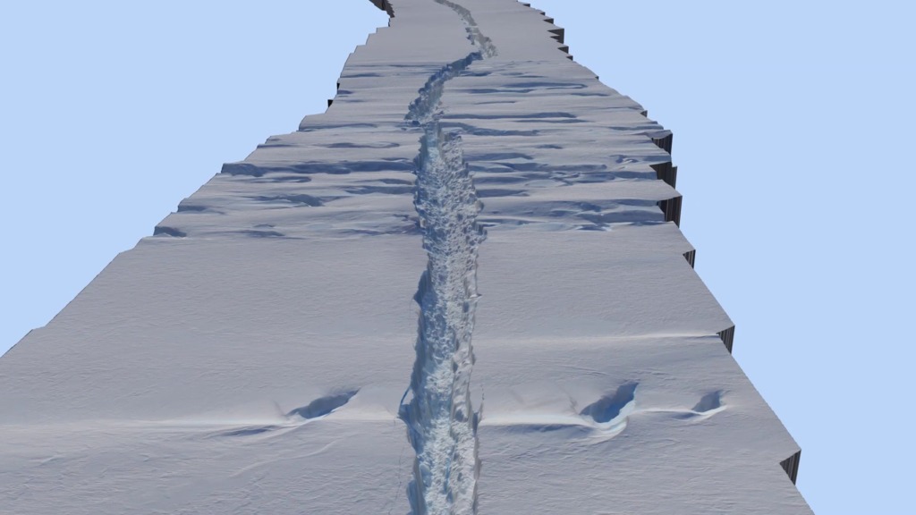
NASA's DC-8 flew over the Pine Island Glacier Ice Shelf on Oct. 14, 2011, as part of Operation IceBridge. A large, long-running crack was plainly visible across the ice shelf. The DC-8 took off on Oct. 26, 2011, to collect more data on the ice shelf and the crack. The area beyond the crack that could calve in the coming months covers about 310 square miles (800 sq. km).
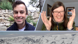
Flying through the Rift: An update on the crack in the P.I.G.
Used Elsewhere In
For More Information
Credits
Jefferson Beck (USRA): Producer
Rachel Kreutzinger (USRA): Producer
Michael Studinger (UMD): Scientist
Bob Bindschadler (NASA/GSFC): Scientist
Kelly Brunt (Morgan State University): Scientist
Rachel Kreutzinger (USRA): Producer
Michael Studinger (UMD): Scientist
Bob Bindschadler (NASA/GSFC): Scientist
Kelly Brunt (Morgan State University): Scientist
Please give credit for this item to:
NASA/Goddard Space Flight Center
NASA/Goddard Space Flight Center
Short URL to share this page:
https://svs.gsfc.nasa.gov/10923
Mission:
Landsat
Data Used:
Note: While we identify the data sets used in these visualizations, we do not store any further details nor the data sets themselves on our site.
This item is part of this series:
Narrated Movies
Keywords:
SVS >> Antarctic Ice
SVS >> Climate
SVS >> HDTV
SVS >> Airplane
SVS >> Hyperwall
DLESE >> Narrated
SVS >> Operation IceBridge
SVS >> Glaciers
NASA Science >> Earth
https://svs.gsfc.nasa.gov/10923
Mission:
Landsat
Data Used:
Landsat-7/ETM+/Landsat Image Mosaic of Antarctica also referred to as: LIMA
Mosaic - NASA/GSFC, British Antarctic Survey, USGS EROS Data Center
Mosaicing to avoid clouds produced a high quality, nearly cloud-free benchmark data set of Antarctica for the International Polar Year from images collected primarily during 1999-2003.
Digital Mapping System also referred to as: DMS Photogrammetry
NASA Ames Airborne Sensor Facility (DMS), Fireball International Services Corp., Cirrus Digital SystemsThis item is part of this series:
Narrated Movies
Keywords:
SVS >> Antarctic Ice
SVS >> Climate
SVS >> HDTV
SVS >> Airplane
SVS >> Hyperwall
DLESE >> Narrated
SVS >> Operation IceBridge
SVS >> Glaciers
NASA Science >> Earth


