FIREX-AQ Prelaunch Data Visualization
This data visualization starts with an overview of the United States west coast. As we zoom into several California wildfires, MODIS data dissolves in to show some of the low-lying smoke resulting from these fires. The camera then pans across the United States, slowly revealing CALIPSO swath passes as they dissect the atmosphere. Throughout most of the journey CALIPSO picks up many aerosol signatures as shown in the more opaque portions of the curtain.
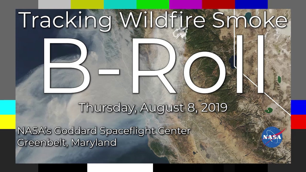
The FIREX-AQ mission will track fire emissions as they travel across the United States. Please visit the FIREX-AQ website for more information.
Credits
Please give credit for this item to:
NASA's Scientific Visualization Studio
-
Producers
- Samson K. Reiny (Wyle Information Systems)
- Kathryn Mersmann (USRA)
-
Scientist
- Amber Soja (NASA/LaRC)
-
Data provider
- Roman Kowch (SSAI)
-
Visualizer
-
Alex Kekesi
(Global Science and Technology, Inc.)

-
Alex Kekesi
(Global Science and Technology, Inc.)
Datasets used
-
Total Attenuated Backscatter [CALIPSO: CALIOP]
ID: 583 -
True Color (Band Combination 1, 4, 3) [Terra and Aqua: MODIS]
ID: 649 -
[GOES-16: ABI]
ID: 978Advanced Baseline Imager (ABI) has 16 spectral bands, including two visible channels, four near-infrared channels and ten infrared channels. It is nearly identical to the imagers on Himawari 8 and Himawari 9.
See all pages that use this dataset -
Fire Pixels [Suomi NPP: VIIRS]
ID: 1053
Note: While we identify the data sets used on this page, we do not store any further details, nor the data sets themselves on our site.
Related
- ID: 13263
Used as a Source In
- ID: 13262
![Music: Broad Horizons by Chris White [PRS]Complete transcript available.](/vis/a010000/a013200/a013262/Still.png) Produced Video
Produced Video
Release date
This page was originally published on Thursday, July 18, 2019.
This page was last updated on Monday, January 6, 2025 at 12:14 AM EST.