Australia Fire Observations and MODIS NDVI
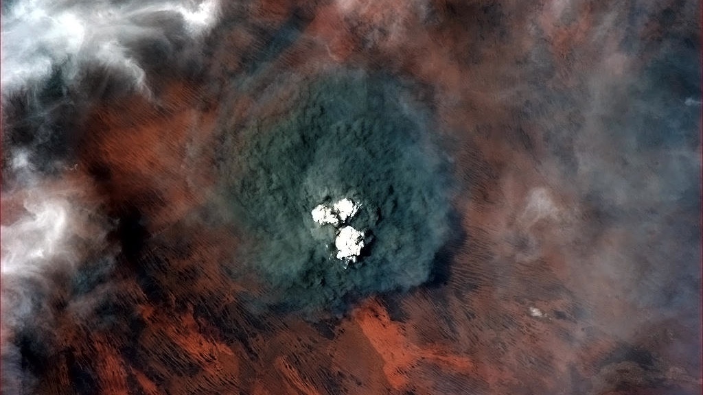
From space, we can understand fires in ways that are impossible from the ground. The MODIS instrument onboard the Terra and Aqua satellite, was specifically designed to detect fires. This visualization shows fire detections from July 2002 through July 2011. The visualization also includes vegetation and snow cover data to show how fires respond to seasonal changes. The tour begins in Australia in 2002 by showing a network of massive grassland fires spreading across interior Australia as well as the greener Eucalyptus forests in the northern and eastern part of the continent.
More information on the Fire Information for Resource Management (FIRMS) is available at http://maps.geog.umd.edu/firms/.
This animation shows a sequence of fires over MODIS NDVI data in Australia from July 2002 through July 2011. This still image is from January 15, 2003.

Active fires and vegetation index for July 15, 2002.
Active fires and vegetation index for September 15, 2002.
Active fires and vegetation index for December 15, 2002.
Active fires and vegetation index for March 15, 2003.
Active fires and vegetation index for July 15, 2003.
Active fires and vegetation index for September 15, 2003.
Active fires and vegetation index for December 15, 2003.
Active fires and vegetation index for March 15, 2004.
Active fires and vegetation index for July 15, 2004.
Active fires and vegetation index for September 15, 2004.
Active fires and vegetation index for December 15, 2004.
Active fires and vegetation index for March 15, 2005.
Active fires and vegetation index for July 15, 2005.
Active fires and vegetation index for September 15, 2005.
Active fires and vegetation index for December 15, 2005.
Active fires and vegetation index for March 15, 2006.
Active fires and vegetation index for July 15, 2006.
Active fires and vegetation index for September 15, 2006.
Active fires and vegetation index for December 15, 2006.
Active fires and vegetation index for March 15, 2007.
Active fires and vegetation index for July 15, 2007.
Active fires and vegetation index for September 15, 2007.
Active fires and vegetation index for December 15, 2007.
Active fires and vegetation index for March 15, 2008.
Active fires and vegetation index for July 15, 2008.
Active fires and vegetation index for September 15, 2008.
Active fires and vegetation index for December 15, 2008.
Active fires and vegetation index for March 15, 2009.
Active fires and vegetation index for July 15, 2009.
Active fires and vegetation index for September 15, 2009.
Active fires and vegetation index for December 15, 2009.
Active fires and vegetation index for March 15, 2010.
Active fires and vegetation index for July 15, 2010.
Active fires and vegetation index for September 15, 2010.
Active fires and vegetation index for December 15, 2010.
Active fires and vegetation index for March 15, 2011.
Active fires and vegetation index for July 15, 2011.
")
Colortable showing the MODIS MYD13C1 product of composite 16 day Normalized Difference Vegetation Index (NDVI)
Colortable showing MODIS fire pixels. The number colorized is MODIS MCD14ML T21 Brightness temperature minus the T31 Brightness temperature.
Credits
Please give credit for this item to:
NASA/Goddard Space Flight Center Scientific Visualization Studio
-
Animators
- Lori Perkins (NASA/GSFC)
-
Greg Shirah
(NASA/GSFC)

-
Producer
- Kayvon Sharghi (USRA)
-
Scientists
- Chris Justice (University of Maryland)
- Louis Giglio (SSAI)
- Luigi Boschetti (University of Maryland College Park)
-
Writer
- Adam P Voiland (Wyle Information Systems)
Missions
This page is related to the following missions:Series
This page can be found in the following series:Datasets used
-
Fire Location [Terra and Aqua: MODIS]
ID: 496Credit: Fire location data courtesy of MODIS Rapid Response Project (NASA/GSFC and University of Maryland - http://rapidfire.sci.gsfc.nasa.gov)
See all pages that use this dataset -
NDVI (Normalized Difference Vegetation Index (NDVI)) [Terra and Aqua: MODIS]
ID: 633
Note: While we identify the data sets used on this page, we do not store any further details, nor the data sets themselves on our site.
Related
- ID: 11175
 Produced Video
Release date
This page was originally published on Tuesday, October 18, 2011.
This page was last updated on Wednesday, May 3, 2023 at 1:53 PM EDT.