GOES Satellites Wildfire Detection and Monitoring
Music:
“Enduring Faith,” by Frederik Wiedmann [BMI]; Icon Trailer Music; Universal Production Music
Additional GOES-T Footage Courtesy of:
Lockheed Martin
Additional Wildfire Footage:
CALFIRE_Official/flickr under CC BY-NC 2.0
National Interagency Fire Center
CALFIRE_Official/Alaska Fire Service/flickr
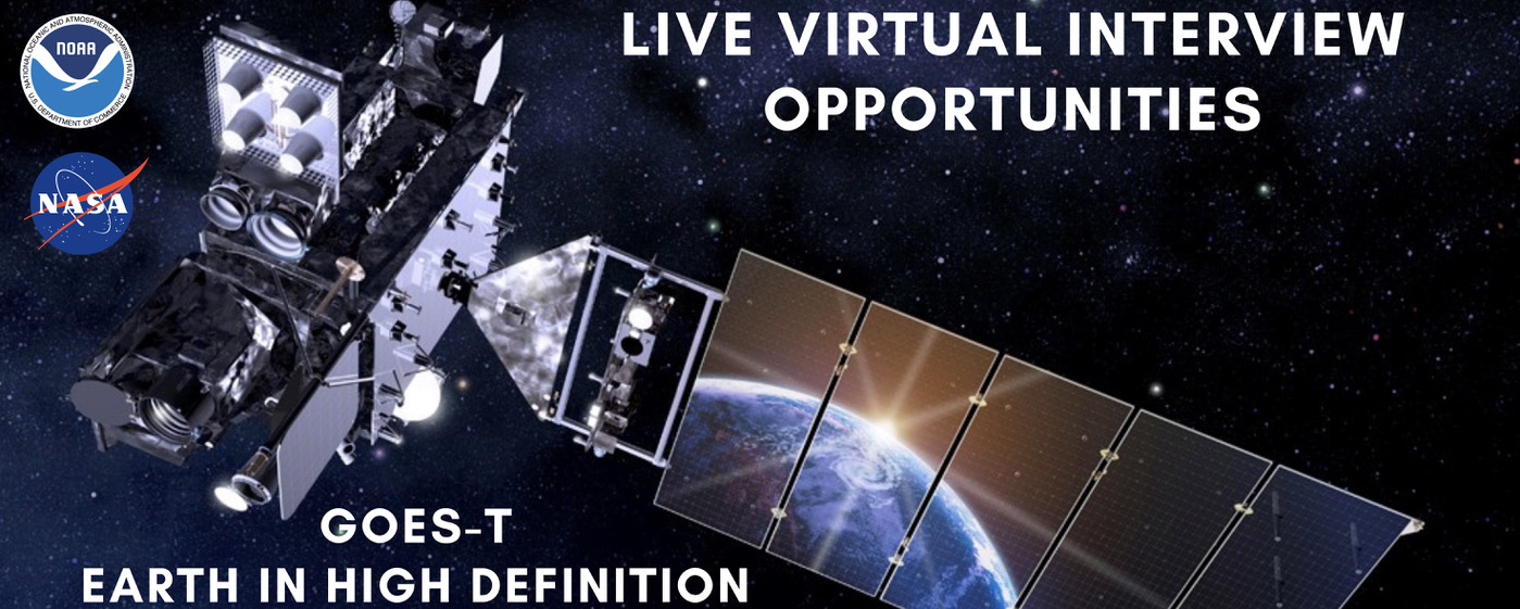
GOES-18 will provide critical data for identifying and tracking environmental hazards of particular concern to the western U.S. GOES-18 will locate wildfire hot spots, detect changes in fire behavior, predict the motion of fires, estimate a fire’s intensity, and monitor smoke output and air quality effects from smoke. GOES-18 can identify the lightning strikes most likely to ignite fires and characterize pyrocumulonimbus clouds that threaten the safety of firefighters.
For More Information
Credits
Please give credit for this item to:
NASA's Goddard Space Flight Center, NOAA's NESDIS. Additional footage from Lockheed Martin, CALFIRE_Official/flickr, National Interacgency Fire Center, and CALFIRE_Official/Alaska Fire Service/flickr
-
Producer
- Elizabeth C. Wilk (KBR Wyle Services, LLC)
-
Project support
- Michelle Smith (NOAA)
-
Narrator
- John Bateman (NOAA)
-
Public affairs officers
- John Bateman (NOAA)
- John Leslie (NOAA)
-
Interviewees
- Dan Lindsey (NOAA)
- Heath Hockenberry (NOAA)
- Sean Triplett (USFS)
Missions
This page is related to the following missions:Release date
This page was originally published on Monday, February 21, 2022.
This page was last updated on Wednesday, May 3, 2023 at 11:44 AM EDT.

![Music:"Fathoms” by Marc Aaron Jacobs [ASCAP]; ELIAS Music; Universal Production Music“Nova” by Lorenzo Castellarin [BMI]; Volta Music; Universal Production Music“Eye of the Sky” by Jonathan Elias [ASCAP] & David Ashok Ramani [ASCAP]; ELIAS Music; Universal Production Music“Recompense” by Marc Aaron Jacobs [ASCAP]; ELIAS Music; Universal Production MusicComplete transcript available. This video can be freely shared and downloaded. While the video in its entirety can be shared without permission, some individual imagery provided by Artbeats, zefart/Pond5, sinenkiy/Pond5, and BlackBoxGuild/Pond5 through permission and may not be excised or remixed in other products. For more information on NASA’s media guidelines, visit https://www.nasa.gov/multimedia/guidelines/index.htmlComplete transcript available.](/vis/a010000/a014600/a014601/GOEStoGeoXO_YTThumbnail_NOAA.jpg)

![GOES-T Overview and Upcoming Launch Music: "Spacey Wave," by JC Lemay [SACEM]; Koka; Universal Production MusicAdditional footage provided by Lockheed Martin](/vis/a010000/a014000/a014073/GOEST_Overview_FINAL.01901_print.jpg)