Satellites Aid Active Fire Response
Complete transcript available.
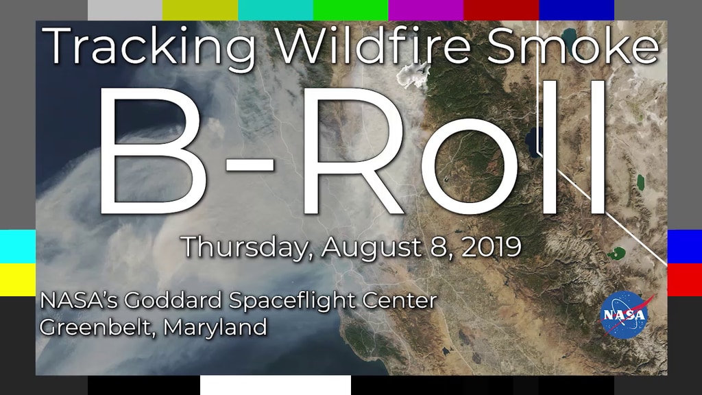
Front-line responders do the heavy lifting when it comes to fighting and managing wildfires, but they’re often helped by the view from higher up. Each year, a coordinated effort from US Forest Service aircraft teams and satellite teams from NASA and NOAA provide valuable information that help fire management teams on the ground make the best decisions possible. Satellite observations and data from new NASA airborne field campaigns also help us understand the role, frequency, and intensity of fires in a changing world.
For more on tracking wildfires: https://www.nasa.gov/feature/goddard/2019/nasa-tracks-wildfires-from-above-to-aid-firefighters-below
Credits
Please give credit for this item to:
NASA's Goddard Space Flight Center
-
Producer
- Jefferson Beck (USRA)
-
Writer
- Jenny Marder Fadoul (Telophase)
-
Scientist
- Vince Ambrosia (California State University, Monterey Bay)
Series
This page can be found in the following series:Related
- ID: 14285
![Complete transcript available.Universal Production Music: Big Found by Ran Shir [BMI], Rotem Moav [BMI]; Swirling Blizzard by Laurent Dury [SACEM]; Dry Ice by Alessandro Rizzo [PRS], Elliot Greenway Ireland [PRS], Paper Boy [PRS]; Into Motion by Peter Larsen [PRS] This video can be freely shared and downloaded. While the video in its entirety can be shared without permission, some individual imagery provided by Pond5.com is obtained through permission and may not be excised or remixed in other products. For more information on NASA’s media guidelines, visit https://www.nasa.gov/multimedia/guidelines/index.html](/vis/a010000/a014200/a014285/14285_Thumbnail.jpg) Produced Video
Produced Video - ID: 13281
![Music: Stepping Stone Bridge by Timothy Michael Hammond [PRS], Wayne Roberts [PRS]Watching Ladybirds by Benjamin James Parsons [PRS] This video can be freely shared and downloaded. While the video in its entirety can be shared without permission, some individual imagery provided by pond5.com and Artbeats is obtained through permission and may not be excised or remixed in other products. Specific details on stock footage may be found here. For more information on NASA’s media guidelines, visit https://www.nasa.gov/multimedia/guidelines/index.html. Complete transcript available.](/vis/a010000/a013200/a013281/Thumbnail_Arctic_Fires_Print.jpg) Produced Video
Produced Video - ID: 13263
Release date
This page was originally published on Thursday, August 1, 2019.
This page was last updated on Wednesday, May 3, 2023 at 1:45 PM EDT.