Slicing Through Hurricane Matthew

Explore how scientists use different data sets to study impacts of 2016's Hurricane Matthew.
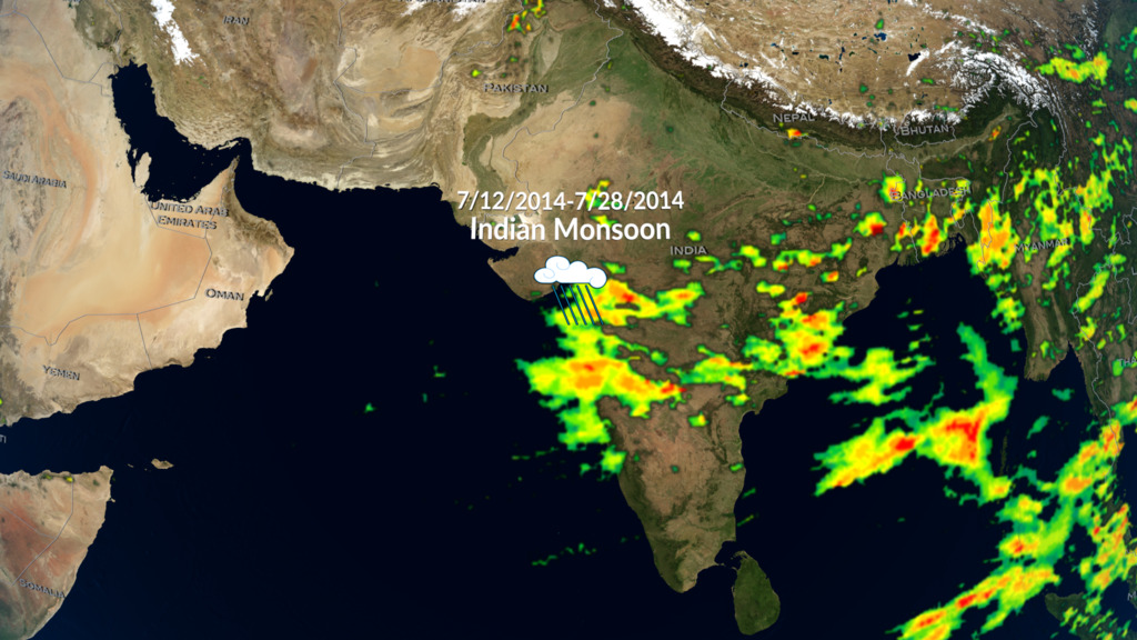
Hurricane Matthew was the most devastating hurricane of the 2016 season and the first Category 5 hurricane in the Atlantic since 2007. The storm swept through the Caribbean and up the southeastern coast of the United States, making landfall in South Carolina on Oct. 8 as a Category 1 storm. The combination of strong storm surge and a foot of rainfall led to widespread and devastating flooding in North and South Carolina. Since the storm, scientists have revisted the data to better understand how hurricanes like Matthew react to different conditions in the ocean and atmosphere. They combined rainfall and rainfall accumulation data from the joint NASA-Japan Global Precipitation Measurement mission satellite with high-resolution sea surface temperature data from NASA's Jet Propulsion Laboratory, soil moisture data from NASA's Soil Moisture Active Passive mission, and wind speeds and a sea surface pressures simulated by computer models. Watch the videos to learn how combining multiple data set lead scientists to a more meaningful picture of Hurricane Matthew.
Explore how scientists combine data about land and sea with direct observations to better understand Hurricane Matthew.
Global Precipitation Measurement rainfall data works hand-in-hand with numerous other data sets and model runs.
 that fuels hurricanes.")
Sea Surface Temperature shows the distribution of warm water (red) that fuels hurricanes.

Off the Florida coast, intense rainfall in red shows Matthew's first eyewall being replaced by a second smaller eyewall.
Soil moisture shows how much rain soaked into the ground – essential for understanding flooding.
For More Information
Credits
Please give credit for this item to:
NASA's Scientific Visualization Studio
-
Animators
-
Alex Kekesi
(Global Science and Technology, Inc.)

-
Greg Shirah
(NASA/GSFC)
- Horace Mitchell (NASA/GSFC)
- Trent L. Schindler (USRA)
-
Ernie Wright
(USRA)
-
Alex Kekesi
(Global Science and Technology, Inc.)
-
Scientists
- Gail Skofronick Jackson (NASA/GSFC)
-
George Huffman
(NASA/GSFC)
- Dalia B Kirschbaum (NASA/GSFC)
-
Producer
- Ryan Fitzgibbons (USRA)
-
Writer
- Ryan Fitzgibbons (USRA)
Missions
This page is related to the following missions:Datasets used
-
[GOES: IR4]
ID: 33 -
GEOS-5 Cubed-Sphere (GEOS-5 Atmospheric Model on the Cubed-Sphere)
ID: 663The model is the GEOS-5 atmospheric model on the cubed-sphere, run at 14-km global resolution for 30-days. GEOS-5 is described here http://gmao.gsfc.nasa.gov/systems/geos5/ and the cubed-sphere work is described here http://sivo.gsfc.nasa.gov/cubedsphere_overview.html.
See all pages that use this dataset -
Rain Rates (Surface Precipitation) [GPM: GMI]
ID: 822Credit: Data provided by the joint NASA/JAXA GPM mission.
See all pages that use this dataset -
Volumetric Precipitation data (Ku) [GPM: DPR]
ID: 830Credit: Data provided by the joint NASA/JAXA GPM mission.
See all pages that use this dataset -
MUR SST (Multi-scale Ultra-high Resolution (MUR) Sea Surface Temperature (SST) Analysis)
ID: 845 -
IMERG
ID: 863This dataset can be found at: http://pmm.nasa.gov/sites/default/files/document_files/IMERG_ATBD_V4.4.pdf
See all pages that use this dataset -
NASA-USDA-FAS Soil Moisture (Surface Soil Moisture corrected with SMOS imagery and assimilated by the Ensemble Kalman Filter)
ID: 954The surface soil moisture product is corrected by integrating satellite-derived Soil Moisture Ocean Salinity (SMOS) mission surface soil moisture retrievals into the modified Palmer two-layer soil moisture model. The SMOS imagery helps to correct the modified Pal
See all pages that use this dataset -
Winds [MERRA-2]
ID: 959
Note: While we identify the data sets used on this page, we do not store any further details, nor the data sets themselves on our site.
Related
- ID: 5361
 Visualization
Release date
This page was originally published on Monday, October 16, 2017.
This page was last updated on Wednesday, May 3, 2023 at 1:47 PM EDT.