NASA's Aquarius Returns Global Maps of Soil Moisture
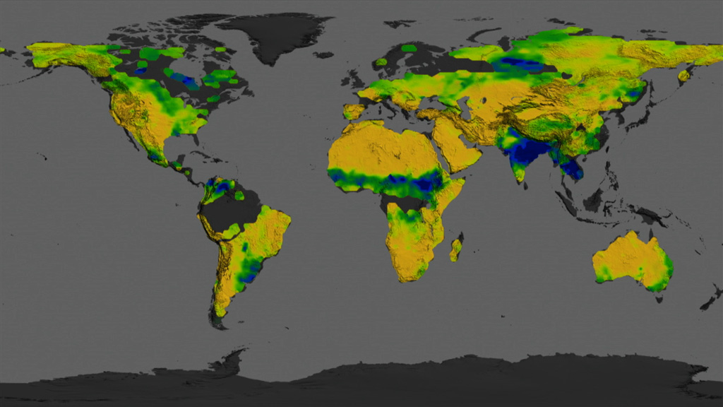
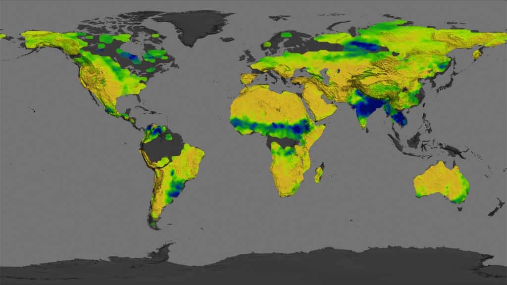
NASA's Aquarius instrument has released its first released worldwide maps of soil moisture. Soil moisture, the water contained within soil particles, is an important player in Earth's water cycle. This animated version of Aquarius' measurements reveals a dynamic pattern of worldwide shifts between dry and moist soils.
Here is the YouTube video.
This is a narrated video about NASA's observations of soil moisture and its applications.
For complete transcript, click here.
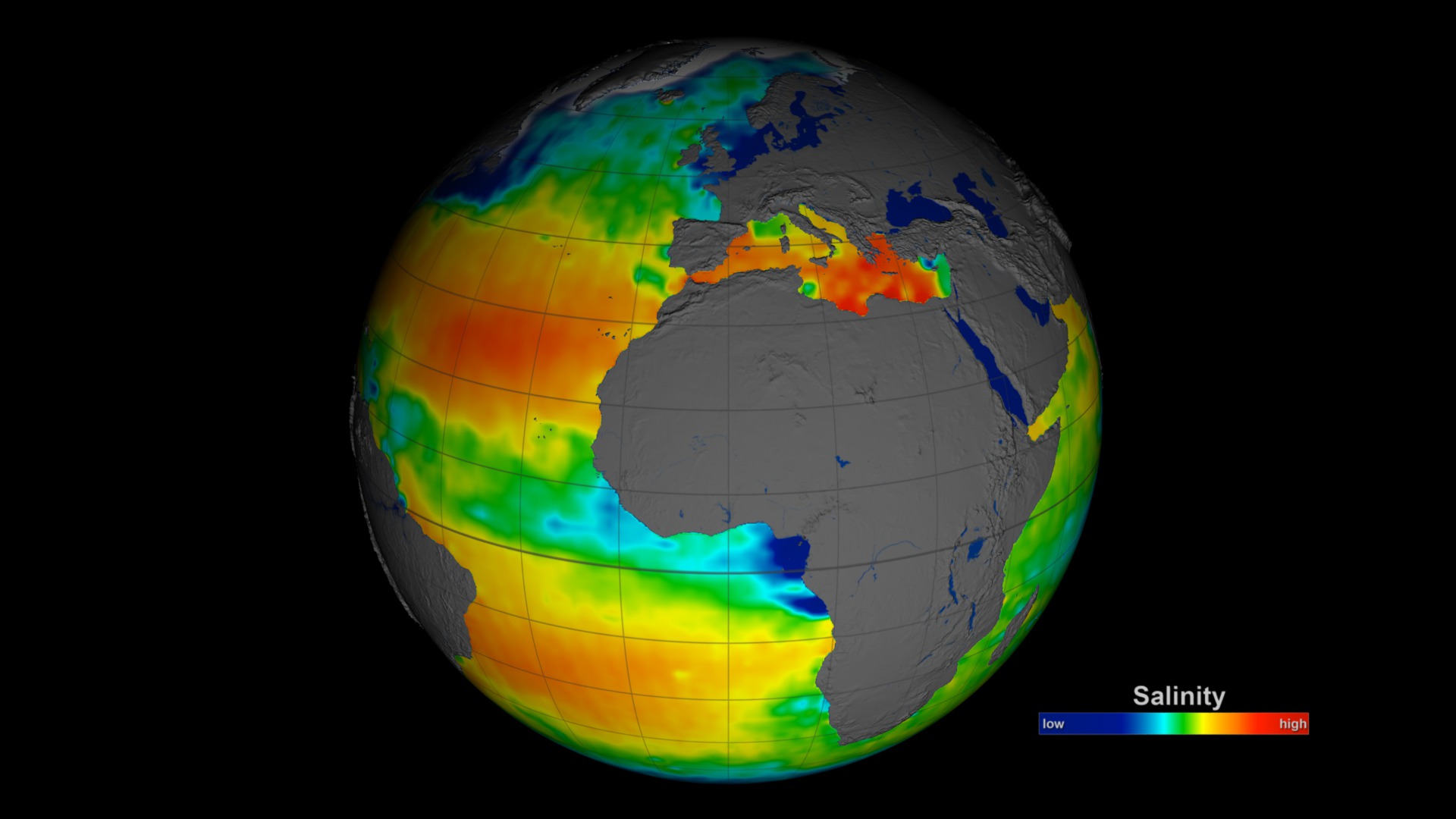
This is a rotating globe with soil moisture maps made by the Aquarius instrument aboard the Aquarius/SAC-D satellite.
This is a video demonstrating soil moisture in different weather.
For More Information
Credits
Please give credit for this item to:
NASA's Goddard Space Flight Center
-
Data visualizers
- Trent L. Schindler (USRA)
- Horace Mitchell (NASA/GSFC)
-
Scientists
- Rajat Bindlish (USDA-ARS Hydrology and Remote Sensing Laboratory)
- Tom Jackson (USDA-ARS Hydrology and Remote Sensing Laboratory)
-
Producers
- Kayvon Sharghi (USRA)
- Joy Ng (USRA)
-
Animator
- Joy Ng (USRA)
-
Video editor
- Joy Ng (USRA)
-
Narration
- Kayvon Sharghi (USRA)
- Joy Ng (USRA)
-
Narrator
- Joy Ng (USRA)
-
Project support
- Aaron E. Lepsch (ADNET Systems, Inc.)
-
Writer
- Maria-Jose Vinas Garcia (Telophase)
Missions
This page is related to the following missions:Series
This page can be found in the following series:Tapes
The media on this page originally appeared on the following tapes:-
Aquarius Soil Moisture
(ID: 2014062)
Monday, July 7, 2014 at 4:00AM
Produced by - Richard Chen (NASA)
Related
- ID: 11585
 Produced Video
 - ID: 4165
 Visualization
 - ID: 4046
 Visualization
 - ID: 3830
 Visualization
Release date
This page was originally published on Monday, July 7, 2014.
This page was last updated on Thursday, October 10, 2024 at 12:16 AM EDT.