Aquarius Soil Moisture
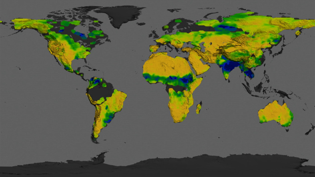
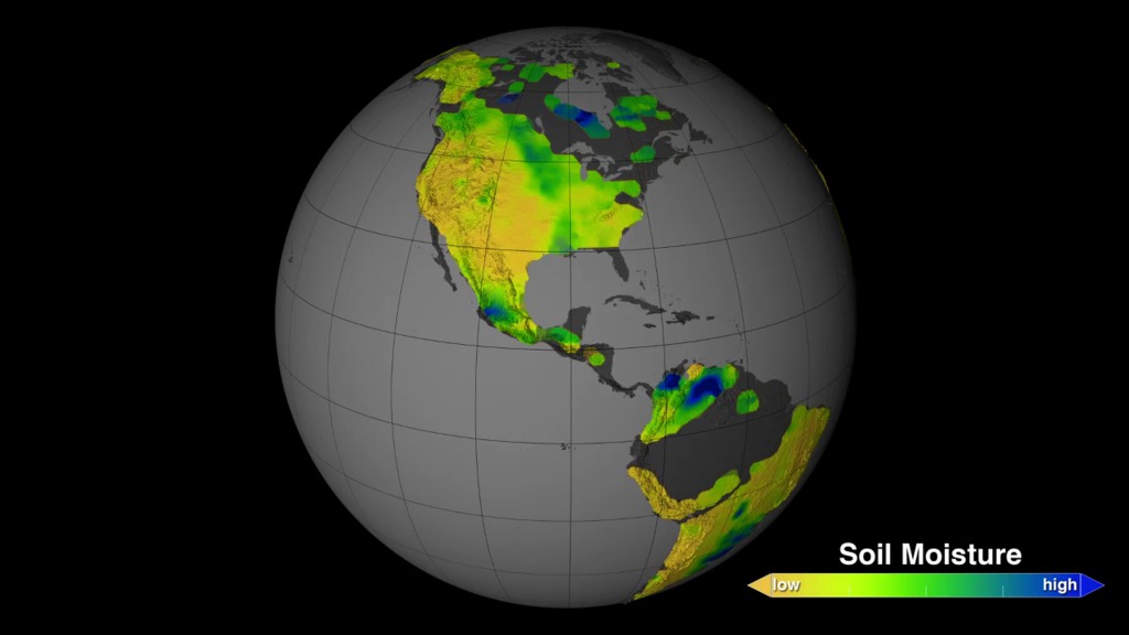
This visualization shows soil moisture measurements taken by NASA’s Aquarius instrument from September 2011 to September 2013. Soil moisture, the water contained within soil particles, is an important player in Earth's water cycle. It is essential for plant life and influences weather and climate. Satellite readings of soil moisture will help scientists better understand the climate system and have potential for a wide range of applications, from advancing climate models, weather forecasts, drought monitoring and flood prediction to informing water management decisions and aiding in predictions of agricultural productivity. Here, soil moisture in the top 2 inches of the land is visible.
Soil Moisture
Soil Moisture

Colorbar
Dates by month
Dates by week
Credits
Please give credit for this item to:
NASA's Scientific Visualization Studio
-
Animators
- Trent L. Schindler (USRA)
- Horace Mitchell (NASA/GSFC)
-
Producer
- Kayvon Sharghi (USRA)
-
Scientists
- Rajat Bindlish (USDA-ARS Hydrology and Remote Sensing Laboratory)
- Tom Jackson (USDA-ARS Hydrology and Remote Sensing Laboratory)
-
Project support
- Laurence Schuler (ADNET Systems, Inc.)
- Ian Jones (ADNET Systems, Inc.)
-
Writer
- Maria-Jose Vinas Garcia (Telophase)
Datasets used
-
Aquarius Soil Moisture (Soil Moisture) [Aquarius: Microwave Radiometer]
ID: 947
Note: While we identify the data sets used on this page, we do not store any further details, nor the data sets themselves on our site.
Related
- ID: 11585
 Produced Video
 - ID: 11604
 Produced Video
Release date
This page was originally published on Monday, July 7, 2014.
This page was last updated on Friday, August 16, 2024 at 1:49 PM EDT.