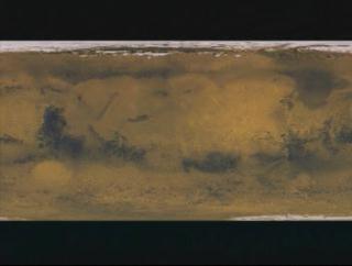
Viking Texture Zooming Down to Reveal a Hidden Channel (Fast)
This animation is a set up visualization. Using the
Viking data, the camera zooms down towards the area where there
might be hidden water channels.

Video slate image reads, "MOLA
Zoom down to a hidden channel overlayed on a Gravity Map".
For More Information
Credits
Please give credit for this item to:
NASA/Goddard Space Flight Center
Scientific Visualization Studio
-
Animator
- Stuart A. Snodgrass (Global Science and Technology, Inc.)
-
Scientist
- David Smith (NASA/GSFC)
Missions
This page is related to the following missions:Series
This page can be found in the following series:Datasets used
-
[MGS: MOLA]
ID: 59 -
[Viking]
ID: 130
Note: While we identify the data sets used on this page, we do not store any further details, nor the data sets themselves on our site.
Alternate Versions
- ID: 1099
 Visualization
Release date
This page was originally published on Monday, June 19, 2000.
This page was last updated on Wednesday, May 3, 2023 at 1:58 PM EDT.