India's Disappearing Water
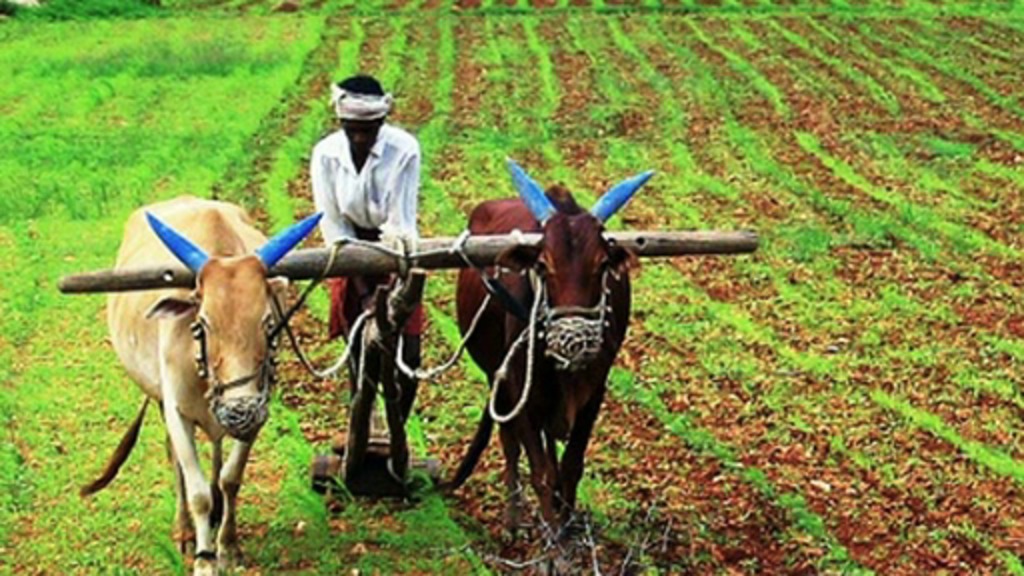
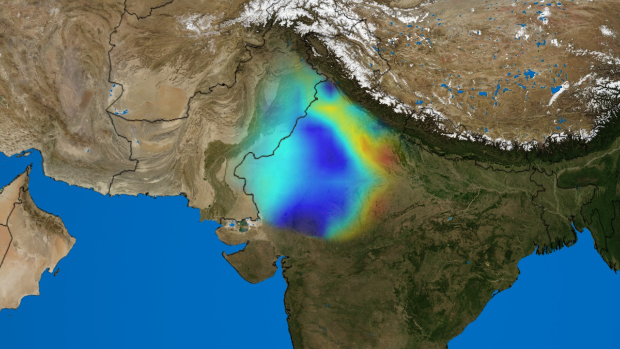
During the past decade, groundwater beneath the northern Indian states of Punjab, Haryana, and Rajasthan has decreased by more than 88 million acre-feet. That's nearly eight times the amount held in Lake Mead, the largest reservoir in the United States. Now at risk of experiencing severe shortages of this vital resource are the 120 million inhabitants of those regions. Using NASA's twin GRACE (Gravity Recovery and Climate Experiment) satellites, scientists measured tiny shifts in the Earth's gravitational field to determine the rate of groundwater change in India. Areas in red had slightly less mass due to a net loss of groundwater and therefore exhibited a weaker gravitational pull on the orbiting satellites. Areas in blue had greater mass and a stronger gravitational pull due to a net gain. Watch the data visualization in the first video below to see how India's groundwater supply declined over the six-year period between 2002 and 2008.

Will increased consumption of groundwater leave a nation in short supply?
India's groundwater losses (red) and gains (blue) between 2002 and 2008 are shown in this visualization.
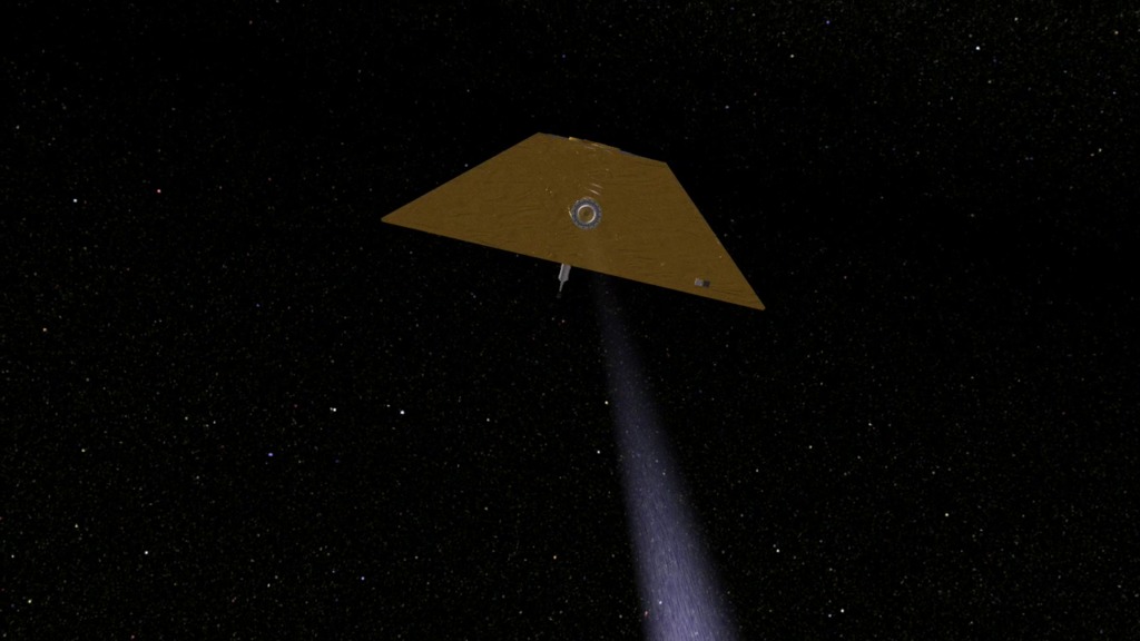
A microwave link measures the distance between the two GRACE satellites to within one four-thousandth of an inch.
NASA scientist Matt Rodell talks about measuring India's groundwater using GRACE.
For More Information
See NASA.gov
Credits
Please give credit for this item to:
NASA's Goddard Space Flight Center Scientific Visualization Studio
-
Animators
- Trent L. Schindler (USRA)
- Chris Meaney (HTSI)
-
Interviewee
-
Matthew Rodell
(NASA/GSFC)

-
Matthew Rodell
(NASA/GSFC)
-
Producer
- Michelle Williams (UMBC)
-
Scientist
-
Matthew Rodell
(NASA/GSFC)
-
Matthew Rodell
(NASA/GSFC)
-
Writer
- Kayvon Sharghi (USRA)
Related
- ID: 10512
 Produced Video
 - ID: 10480
 Produced Video
 - ID: 3623
 Visualization
Release date
This page was originally published on Monday, May 2, 2011.
This page was last updated on Wednesday, May 3, 2023 at 1:53 PM EDT.