Earth
ID: 14086
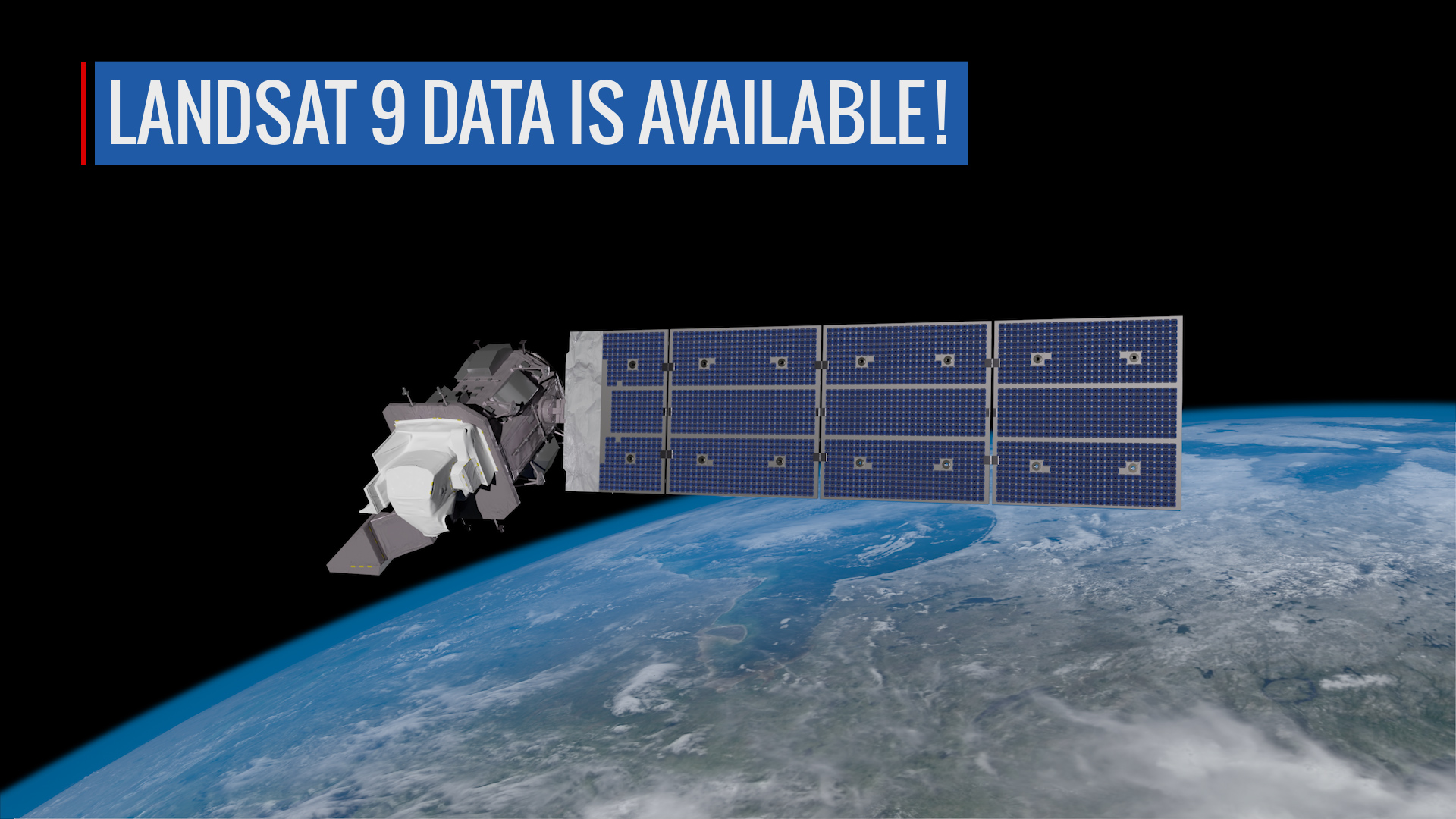
The data from Landsat 9 is available for anyone to download. Now with both Landsat 9 and Landsat 8 in orbit, there will be high-quality, medium-resolution images of Earth’s landscapes and coastal regions every eight days.
Landsat 9 was launched on Sept. 27, 2021, and the mission team started working to test, calibrate, and commission the new satellite and its instruments. One of the commissioning activities was flying Landsat 9 under its sister satellite, Landsat 8, which allowed the team to confirm that the data align as expected.
They also calibrated the instruments through a variety of methods, including tilting Landsat 9’s spacecraft to image the full Moon – a steady source of light to ensure the instruments are detecting light consistently.
The Landsat Program is a series of Earth-observing satellite missions jointly managed by NASA and the U.S. Geological Survey (USGS). Landsat satellites have been consistently gathering data about our planet since 1972. They continue to improve and expand this unparalleled record of Earth's changing landscapes for the benefit of all.
Landsat 9 Data Release
Landsat 9 was launched on Sept. 27, 2021, and the mission team started working to test, calibrate, and commission the new satellite and its instruments. One of the commissioning activities was flying Landsat 9 under its sister satellite, Landsat 8, which allowed the team to confirm that the data align as expected.
They also calibrated the instruments through a variety of methods, including tilting Landsat 9’s spacecraft to image the full Moon – a steady source of light to ensure the instruments are detecting light consistently.
The Landsat Program is a series of Earth-observing satellite missions jointly managed by NASA and the U.S. Geological Survey (USGS). Landsat satellites have been consistently gathering data about our planet since 1972. They continue to improve and expand this unparalleled record of Earth's changing landscapes for the benefit of all.
Credits
Matthew Radcliff (KBRwyle): Lead Producer
Aaron E. Lepsch (ADNET Systems, Inc.): Technical Support
Jeffrey Masek (NASA/GSFC): Lead Scientist
Chris J Crawford (USGS): Lead Scientist
Del Jenstrom (NASA/GSFC): Lead Project Manager
Aaron E. Lepsch (ADNET Systems, Inc.): Technical Support
Jeffrey Masek (NASA/GSFC): Lead Scientist
Chris J Crawford (USGS): Lead Scientist
Del Jenstrom (NASA/GSFC): Lead Project Manager
Please give credit for this item to:
NASA's Goddard Space Flight Center. Footage at 1:08-1:13 provided by Northrop Grumman, and footage from 1:13-1:20 provided by USGS EROS.
NASA's Goddard Space Flight Center. Footage at 1:08-1:13 provided by Northrop Grumman, and footage from 1:13-1:20 provided by USGS EROS.
Short URL to share this page:
https://svs.gsfc.nasa.gov/14086
Mission:
Landsat 9
This item is part of these series:
Narrated Movies
Landsat
Keywords:
SVS >> Landsat
GCMD >> Earth Science >> Land Surface
GCMD >> Earth Science >> Spectral/Engineering >> Infrared Wavelengths >> Thermal Infrared
GCMD >> Location >> Land Surface
NASA Science >> Earth
GCMD keywords can be found on the Internet with the following citation: Olsen, L.M., G. Major, K. Shein, J. Scialdone, S. Ritz, T. Stevens, M. Morahan, A. Aleman, R. Vogel, S. Leicester, H. Weir, M. Meaux, S. Grebas, C.Solomon, M. Holland, T. Northcutt, R. A. Restrepo, R. Bilodeau, 2013. NASA/Global Change Master Directory (GCMD) Earth Science Keywords. Version 8.0.0.0.0


