Earth
ID: 959
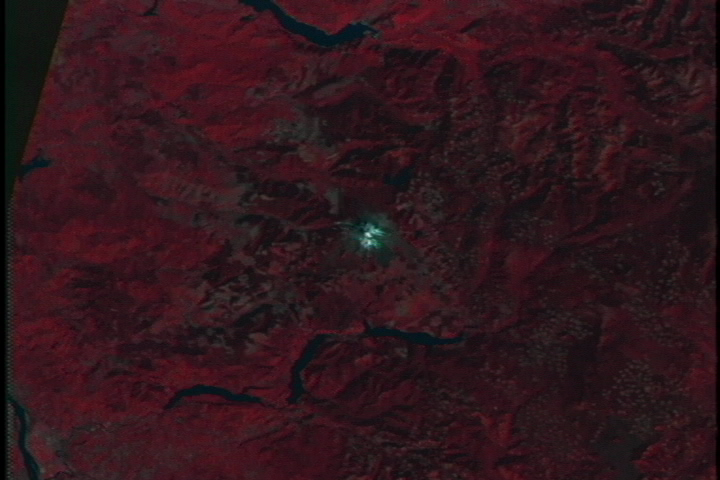
These images show Mt. St. Helens almost a decade before the May 18, 1980, eruption, approximately three years after the eruption, then a pair of images over the following decade, as the landscape recovered. Notice in particular the area northwest of the mountain, past the Toutle River, where forest coverage has recovered somewhat in the past ten years.
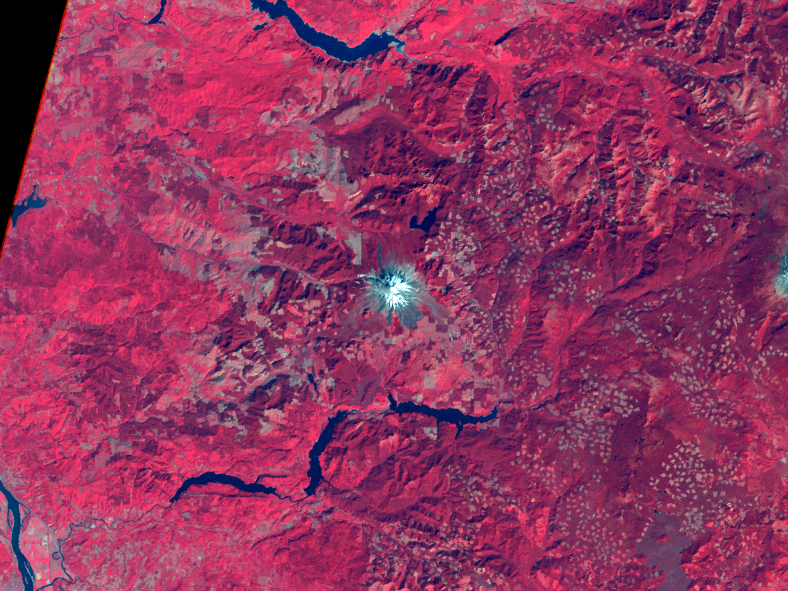
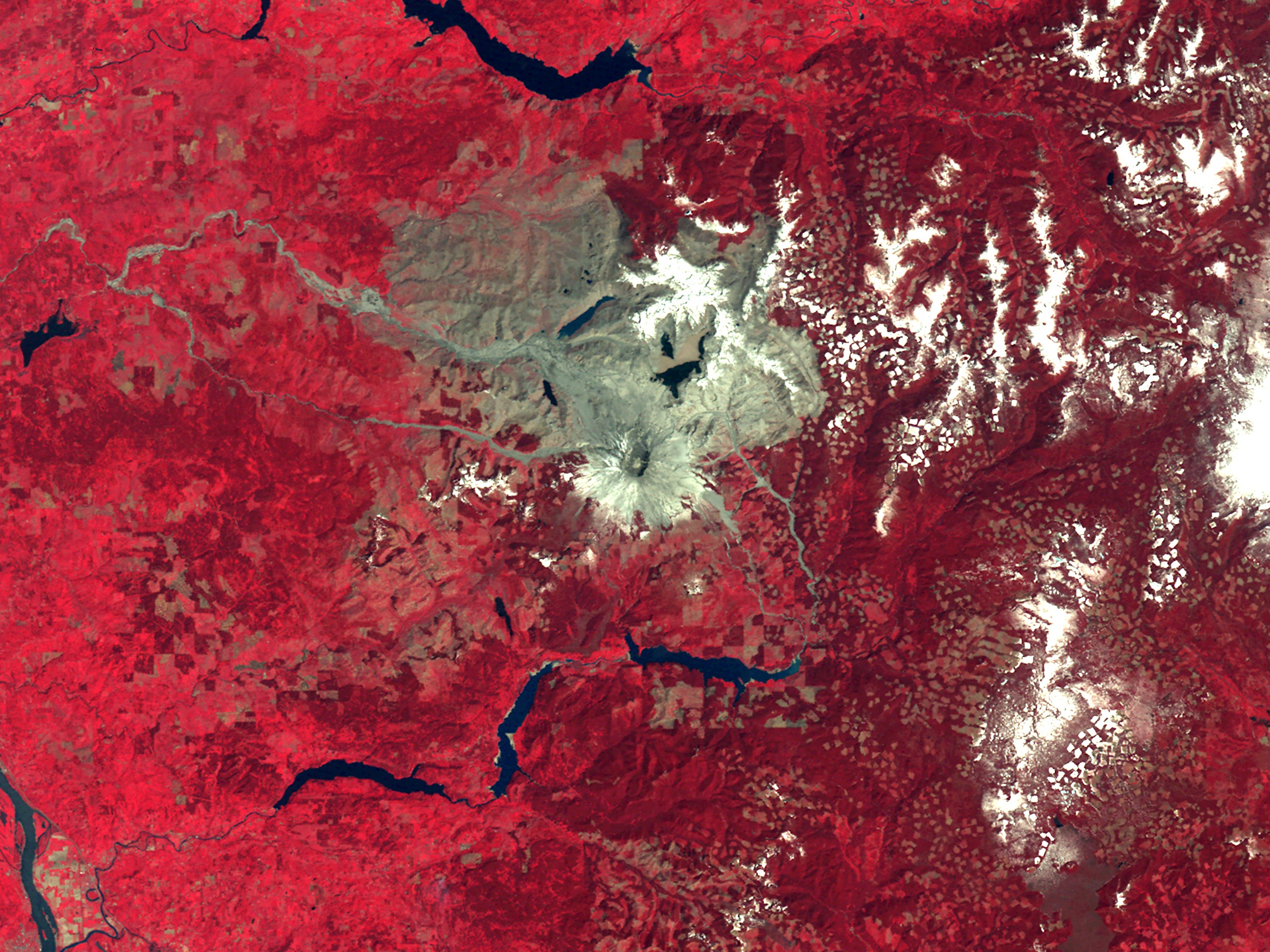

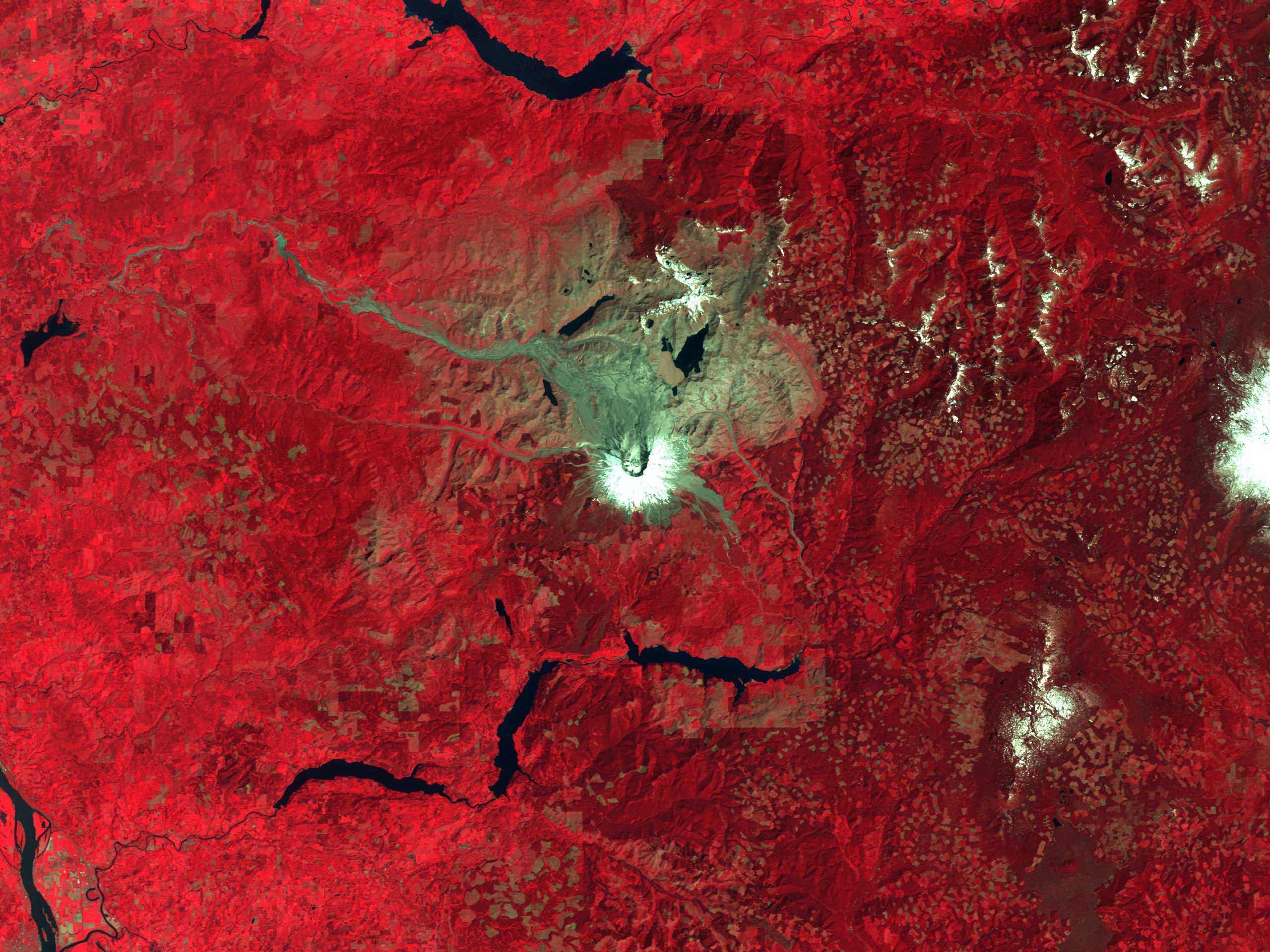
Mt. St. Helens from Landsat: 1973 to 1992
North is up in all these images. The 1973 Landsat 1 image used MSS bands 7, 5, and 4 (called MSS 4, 2, and 1 on the later Landsat satellites) displayed as red, green, and blue respectively. The other images mapped TM bands 4, 3, and 2 to red, green, and blue. This color combination is often referred to as 'false color infrared' since it has a similar appearance and tone to color infrared photography. Reds represent vegetation (which is a strong reflector of near infrared light), grays are exposed land, and light blues show snow on the peaks of Mt. St. Helens and neighboring Mt. Adams. The Columbia River snakes into view in the lower left corner, just north of Portland, Oregon.
For More Information
Visualization Credits
Please give credit for this item to:
NASA/Goddard Space Flight Center Scientific Visualization Studio
NASA/Goddard Space Flight Center Scientific Visualization Studio
Short URL to share this page:
https://svs.gsfc.nasa.gov/959
Mission:
Landsat
Data Used:
Note: While we identify the data sets used in these visualizations, we do not store any further details nor the data sets themselves on our site.
Keywords:
DLESE >> Human geography
SVS >> Mt. St. Helens
DLESE >> Natural hazards
DLESE >> Physical geography
NASA Science >> Earth
https://svs.gsfc.nasa.gov/959
Mission:
Landsat
Data Used:
Landsat-5/TM/Band Combination 4, 3, 2
1988, 1992Landsat-4/TM/Band Combination 4, 3, 2
1983Landsat-1/MSS/Band Combination 4, 2, 1
1973Keywords:
DLESE >> Human geography
SVS >> Mt. St. Helens
DLESE >> Natural hazards
DLESE >> Physical geography
NASA Science >> Earth


