Earth
ID: 865
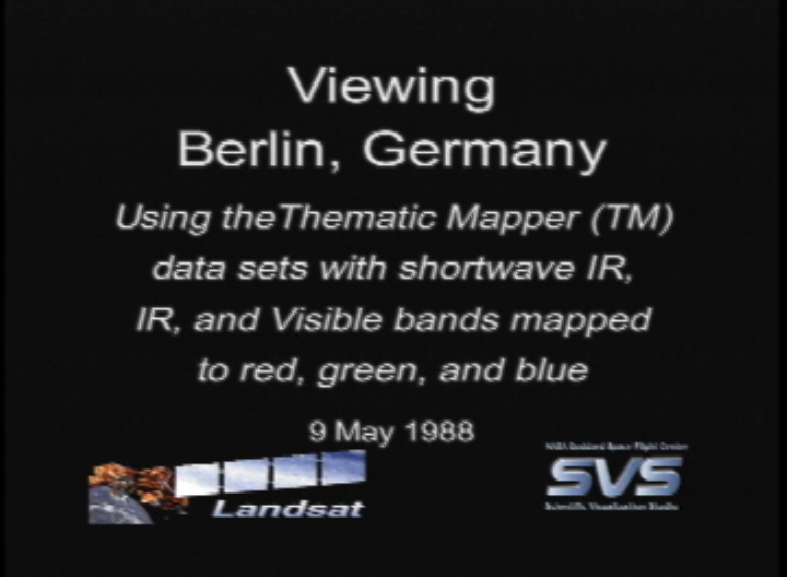
This scene shows the city of Berlin, seen from the eastern side of the city looking west. At the time this Landsat data was collected, Berlin was still divided by the Berlin Wall. The airfield shown somewhat south of the city is Tempelhof airfield. The Spree River runs through the center of the city. Just south of the Spree River is a large green area which is Tiergarten Park. The image also shows a brown region in the upper center which is Tegel Airport. The Landsat data is shown with shortwave infrared (TM Band 5) displayed as red, near infrared (TM Band 4) as green, and visible green (TM Band 2) as blue. This wide spectral range causes urban features such as concrete buildings and roads to appear as dark gray/black, water as dark blue, while green spaces are vegetation coverage such as grass and trees.

Berlin Flyby
For More Information
Visualization Credits
Please give credit for this item to:
NASA/Goddard Space Flight Center Scientific Visualization Studio
NASA/Goddard Space Flight Center Scientific Visualization Studio
Short URL to share this page:
https://svs.gsfc.nasa.gov/865
Mission:
Landsat
Data Used:
Note: While we identify the data sets used in these visualizations, we do not store any further details nor the data sets themselves on our site.
Goddard TV Tape:
G1999-019
Keywords:
DLESE >> Human geography
DLESE >> Physical geography
GCMD >> Location >> Germany
NASA Science >> Earth
GCMD keywords can be found on the Internet with the following citation: Olsen, L.M., G. Major, K. Shein, J. Scialdone, S. Ritz, T. Stevens, M. Morahan, A. Aleman, R. Vogel, S. Leicester, H. Weir, M. Meaux, S. Grebas, C.Solomon, M. Holland, T. Northcutt, R. A. Restrepo, R. Bilodeau, 2013. NASA/Global Change Master Directory (GCMD) Earth Science Keywords. Version 8.0.0.0.0
https://svs.gsfc.nasa.gov/865
Mission:
Landsat
Data Used:
Landsat-5/TM
1988/05/09Goddard TV Tape:
G1999-019
Keywords:
DLESE >> Human geography
DLESE >> Physical geography
GCMD >> Location >> Germany
NASA Science >> Earth
GCMD keywords can be found on the Internet with the following citation: Olsen, L.M., G. Major, K. Shein, J. Scialdone, S. Ritz, T. Stevens, M. Morahan, A. Aleman, R. Vogel, S. Leicester, H. Weir, M. Meaux, S. Grebas, C.Solomon, M. Holland, T. Northcutt, R. A. Restrepo, R. Bilodeau, 2013. NASA/Global Change Master Directory (GCMD) Earth Science Keywords. Version 8.0.0.0.0


