Planets and Moons
ID: 80
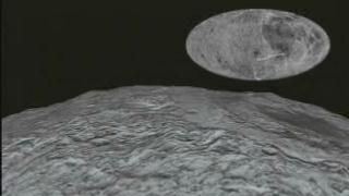
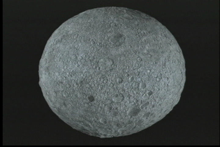
Clementine was a joint project between the Strategic Defense Initiative Organization and NASA. The objective of the mission was to test sensors and spacecraft components under extended exposure to the space environment and to make scientific observations of the Moon and the near-Earth asteroid 1620 Geographos. Clementine was launched on 25 January 1994 at 16:34 UTC (12:34 PM EDT) from Vandenberg AFB aboard a Titan II G rocket. After two Earth flybys, lunar insertion was achieved on February 21. Lunar mapping took place over approximately two months, in two parts. The first part consisted of a 5 hour elliptical polar orbit with a perilune of about 400 km at 28 degrees S latitude. After one month of mapping the orbit was rotated to a perilune of 29 degrees N latitude, where it remained for one more month. This allowed global imaging as well as altimetry coverage from 60 degrees S to 60 degrees N.
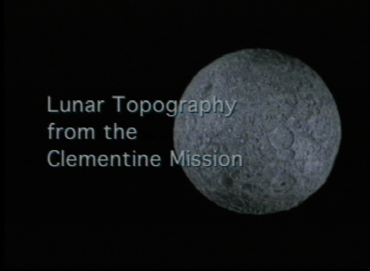
Lunar Rotation and Flyby from Clementine Data
Alternate Version
For More Information
Visualization Credits
Cindy Starr (Global Science and Technology, Inc.): Lead Visualizer
David Smith (NASA/GSFC): Scientist
Maria Zuber (Massachusetts Institute of Technology): Scientist
Frank Lemoine (NASA/GSFC): Scientist
Gregory Neumann (Johns Hopkins University): Scientist
David Smith (NASA/GSFC): Scientist
Maria Zuber (Massachusetts Institute of Technology): Scientist
Frank Lemoine (NASA/GSFC): Scientist
Gregory Neumann (Johns Hopkins University): Scientist
Please give credit for this item to:
NASA/Goddard Space Flight Center Scientific Visualization Studio
NASA/Goddard Space Flight Center Scientific Visualization Studio
Science Paper:
Maria T. Zuber, David E. Smith, Frank G. Lemoine, Gregory A. Neumann, The Shape and Internal Structure of the Moon from the Clementine Mission, Science, 16 December 1994, pp. 1839-1843.
Short URL to share this page:
https://svs.gsfc.nasa.gov/80
Mission:
Clementine
Data Used:
Note: While we identify the data sets used in these visualizations, we do not store any further details nor the data sets themselves on our site.
This item is part of this series:
Clementine
Keywords:
SVS >> Lunar
SVS >> Moon
DLESE >> Space science
NASA Science >> Planets and Moons
Maria T. Zuber, David E. Smith, Frank G. Lemoine, Gregory A. Neumann, The Shape and Internal Structure of the Moon from the Clementine Mission, Science, 16 December 1994, pp. 1839-1843.
Short URL to share this page:
https://svs.gsfc.nasa.gov/80
Mission:
Clementine
Data Used:
Clementine/LIDAR/Lunar topography
1994/02/26-1994/05/05This item is part of this series:
Clementine
Keywords:
SVS >> Lunar
SVS >> Moon
DLESE >> Space science
NASA Science >> Planets and Moons


