Planets and Moons
ID: 771
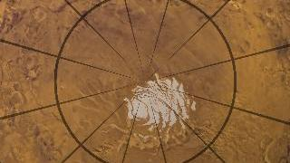
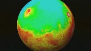
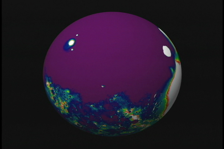
This is one of a series of visualizations showing false-colored renderings of the Martian topography measured by MOLA in the vicinity of the Mars Polar Lander landing site.

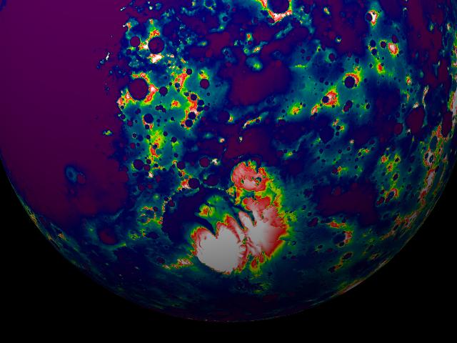
A Rotating False Color View of the Martian South Pole from MOLA: New Color Map
Alternate Versions
For More Information
Visualization Credits
Tom Biddlecome (Raytheon): Lead Animator
Greg Shirah (NASA/GSFC): Animator
David Smith (NASA/GSFC): Scientist
Greg Shirah (NASA/GSFC): Animator
David Smith (NASA/GSFC): Scientist
Please give credit for this item to:
NASA/Goddard Space Flight Center Scientific Visualization Studio
NASA/Goddard Space Flight Center Scientific Visualization Studio
Short URL to share this page:
https://svs.gsfc.nasa.gov/771
Mission:
Mars Global Surveyor - MGS
Data Used:
Note: While we identify the data sets used in these visualizations, we do not store any further details nor the data sets themselves on our site.
Dates of Data Used:
1997/09/15-1998/11
This item is part of this series:
Mars Polar Lander
Goddard TV Tape:
G1999-097
Keywords:
SVS >> Mars
DLESE >> Space science
NASA Science >> Planets and Moons
https://svs.gsfc.nasa.gov/771
Mission:
Mars Global Surveyor - MGS
Data Used:
MGS/MOLA/Topography
1997/09/15-1998/11Dates of Data Used:
1997/09/15-1998/11
This item is part of this series:
Mars Polar Lander
Goddard TV Tape:
G1999-097
Keywords:
SVS >> Mars
DLESE >> Space science
NASA Science >> Planets and Moons


