North American Monsoon
North American monsoon
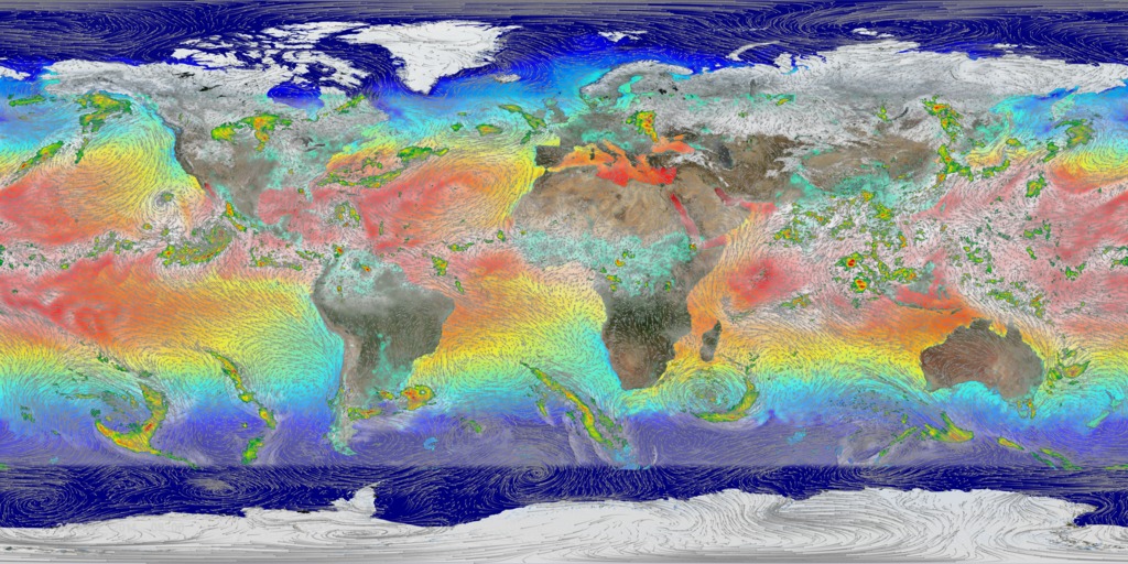
The monsoon is a seasonal rain and wind pattern that occurs all over the world. Through NASA satellites and models we can see the monsoon patterns like never before. Monsoon rains provide important reservoirs of water that sustain human activities like agriculture and supports the natural environment through replenishment of aquifers.
This visualization uses NASA precipitation and soil moisture data to show how the monsoon develops over North America.
Credits
Please give credit for this item to:
NASA's Scientific Visualization Studio
-
Visualizers
- Greg Shirah (NASA/GSFC)
- Alex Kekesi (Global Science and Technology, Inc.)
- Trent L. Schindler (USRA)
- Lori Perkins (NASA/GSFC)
-
Animator
- Horace Mitchell (NASA/GSFC)
-
Producer
- Ryan Fitzgibbons (USRA)
-
Scientists
- Dalia B Kirschbaum (NASA/GSFC)
- George Huffman (NASA/GSFC)
- Gail Skofronick Jackson (NASA/GSFC)
Release date
This page was originally published on Thursday, June 23, 2016.
This page was last updated on Sunday, October 6, 2024 at 10:34 PM EDT.
Missions
This page is related to the following missions:Datasets used
-
Soil Moisture [GEMS]
ID: 405GEMS stands for Goddard Earth Modeling System. It is also known as the NSIPP Global Climate Model.
See all pages that use this dataset -
CPC (Climate Prediction Center) Cloud Composite
ID: 600Global cloud cover from multiple satellites
See all pages that use this dataset -
MERRA
ID: 684 -
IMERG
ID: 863This dataset can be found at: http://pmm.nasa.gov/sites/default/files/document_files/IMERG_ATBD_V4.4.pdf
See all pages that use this dataset -
Global Flood Monitoring System (GFMS)
ID: 901
Note: While we identify the data sets used on this page, we do not store any further details, nor the data sets themselves on our site.
