Earth
ID: 3972
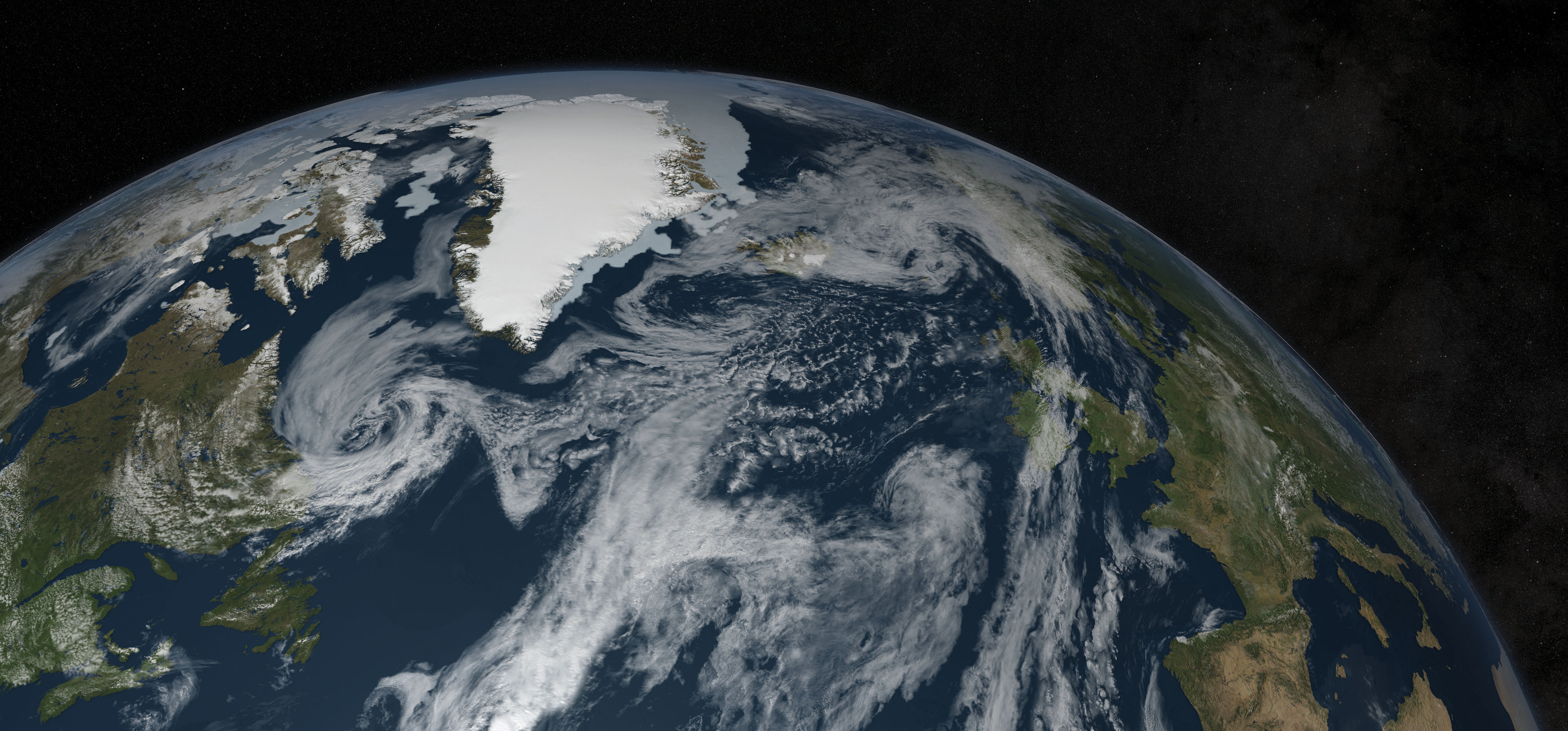
This high-resolution image of the earth is designed for printing at 300 dpi on a large format poster printer at a size of 154.5 inches long and 72 inches high. The image is 46,352 pixels wide and 21,600 pixels high.
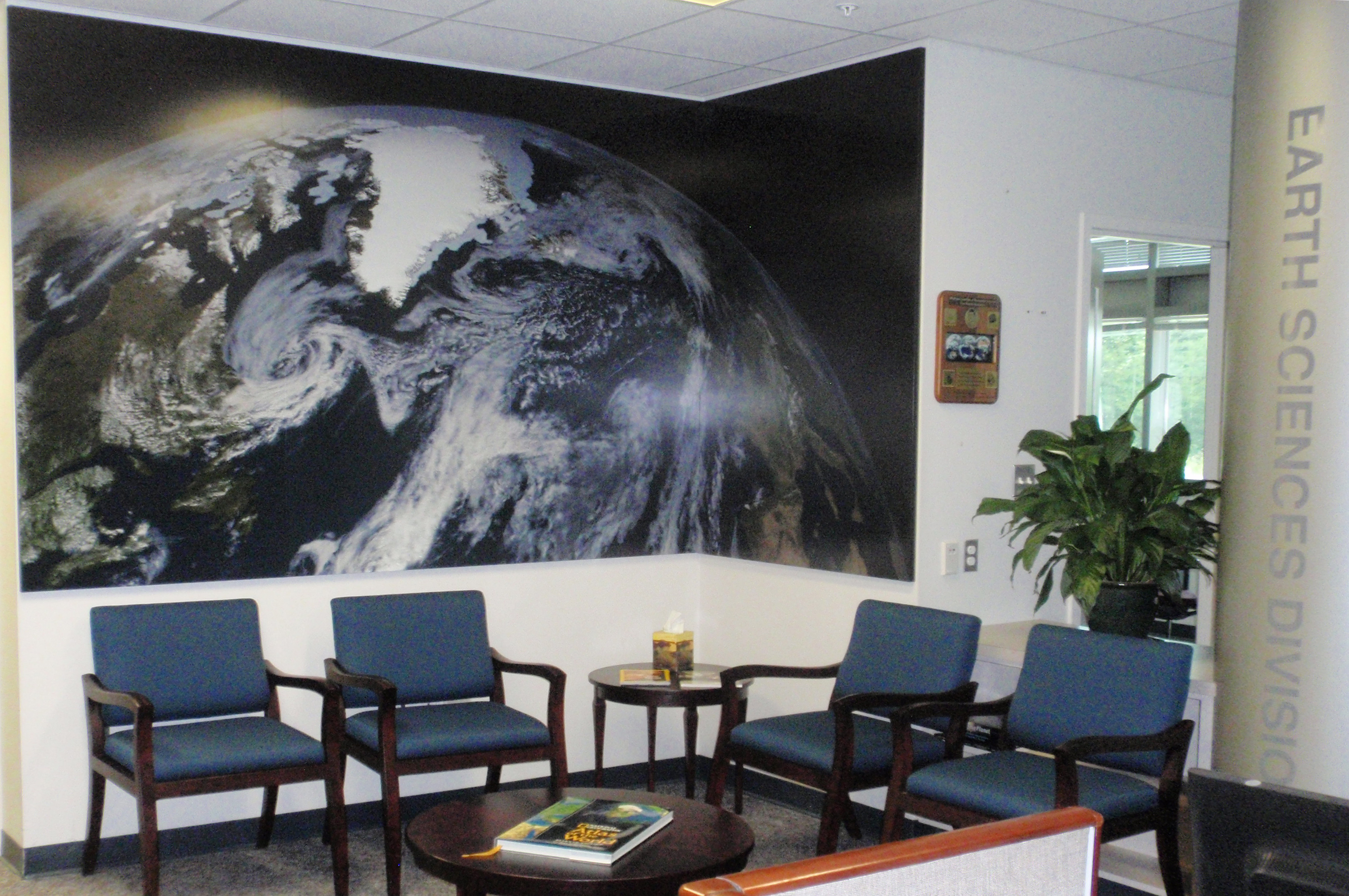
Earth Sciences Division Poster
Visualization Credits
Cindy Starr (Global Science and Technology, Inc.): Lead Visualizer
Laurence Schuler (ADNET Systems, Inc.): Project Support
Ian Jones (ADNET Systems, Inc.): Project Support
Laurence Schuler (ADNET Systems, Inc.): Project Support
Ian Jones (ADNET Systems, Inc.): Project Support
Please give credit for this item to:
NASA/Goddard Space Flight Center Scientific Visualization Studio
NASA/Goddard Space Flight Center Scientific Visualization Studio
Short URL to share this page:
https://svs.gsfc.nasa.gov/3972
Missions:
Global Precipitation Measurement (GPM)
Terra
Data Used:
Note: While we identify the data sets used in these visualizations, we do not store any further details nor the data sets themselves on our site.
Keywords:
SVS >> Earth
NASA Science >> Earth
https://svs.gsfc.nasa.gov/3972
Missions:
Global Precipitation Measurement (GPM)
Terra
Data Used:
GTOPO30 Topography and Bathymetry
Data Compilation - USGSAqua/AMSR-E/Daily L3 6.25 km 89 GHz Brightness Temperature (Tb)
2011-07-17Terra and Aqua/MODIS/Blue Marble: Next Generation also referred to as: BMNG
2004-07-01 to 2004-07-31
Credit:
The Blue Marble data is courtesy of Reto Stockli (NASA/GSFC).
The Blue Marble data is courtesy of Reto Stockli (NASA/GSFC).
Terra and Aqua/MODIS/Blue Marble Cloud Cover
Credit:
The Blue Marble data is courtesy of Reto Stockli (NASA/GSFC).
The Blue Marble data is courtesy of Reto Stockli (NASA/GSFC).
Hipparcos/Telescope/Tycho 2 Catalogue also referred to as: Tycho Catalogue
DatabaseAqua/AMSR-E/Daily L3 12.5km Tb, Sea Ice Concentration, and Snow Depth also referred to as: Sea Ice Concentration
2011-07-17Keywords:
SVS >> Earth
NASA Science >> Earth


