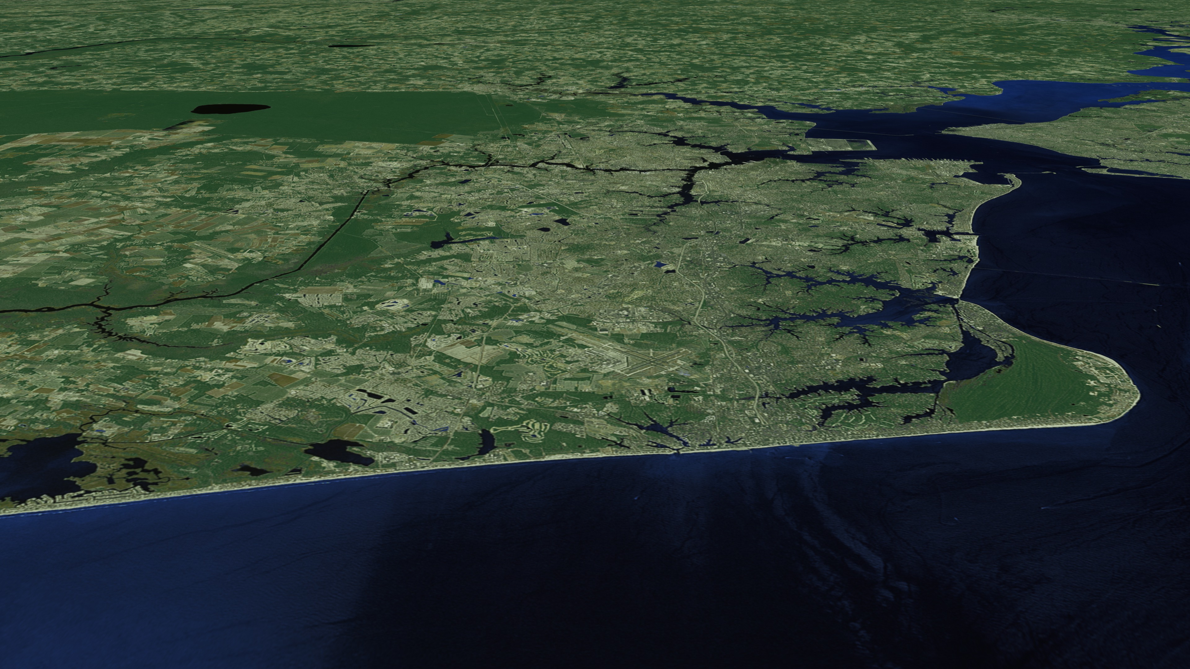
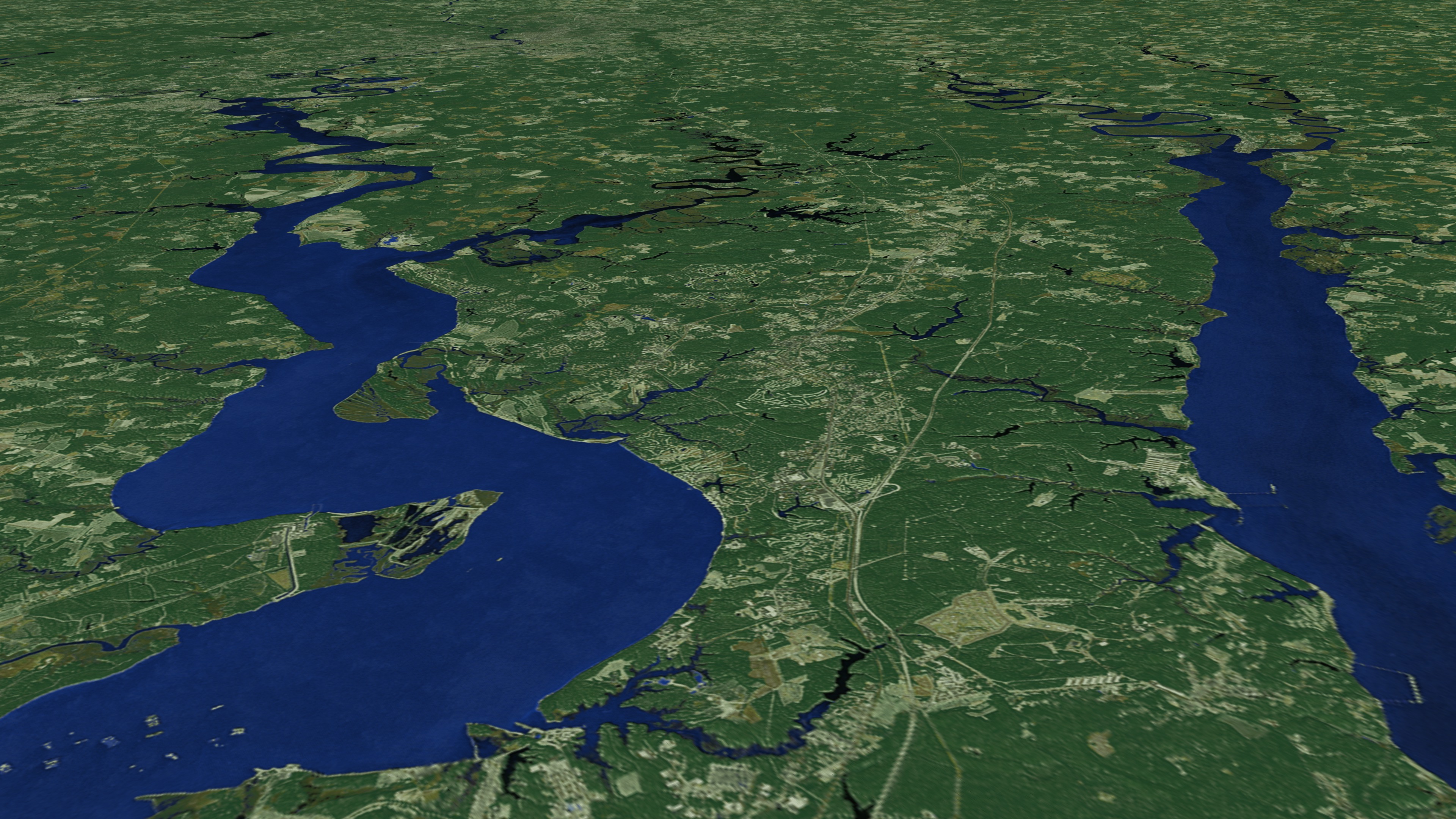
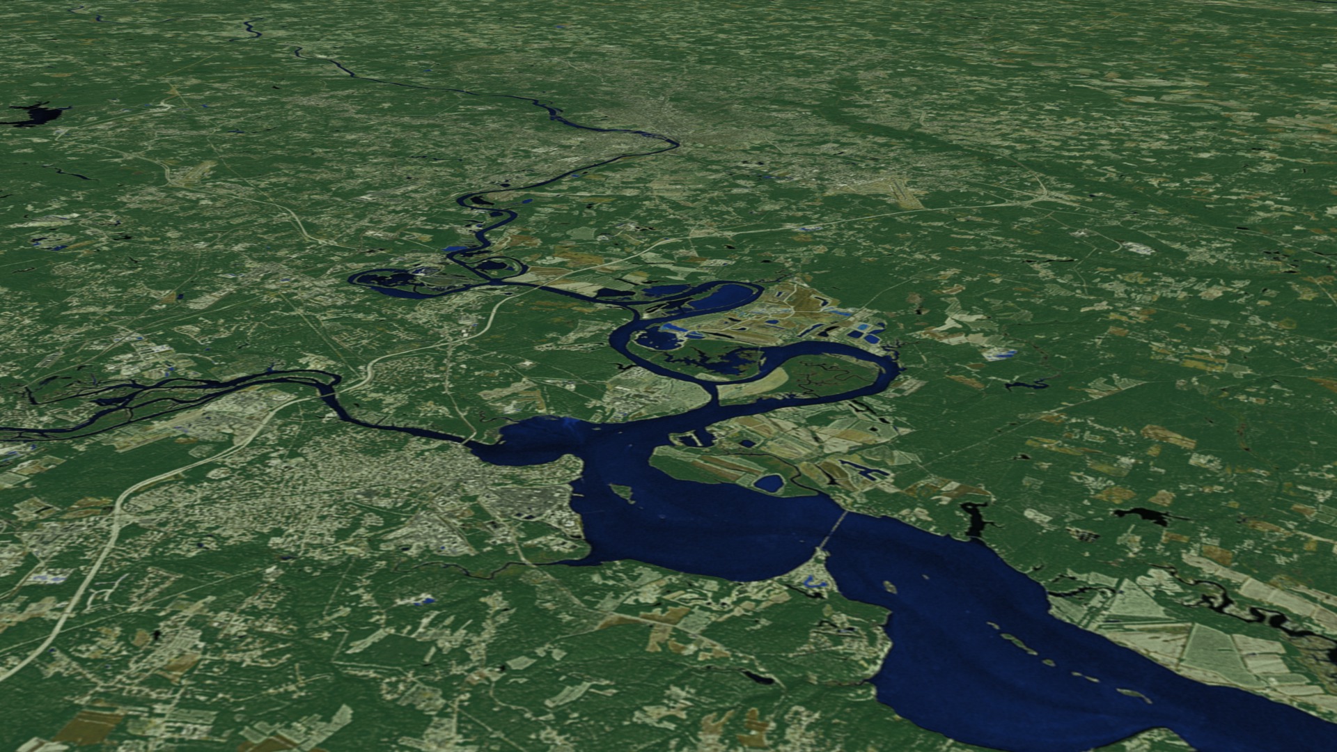
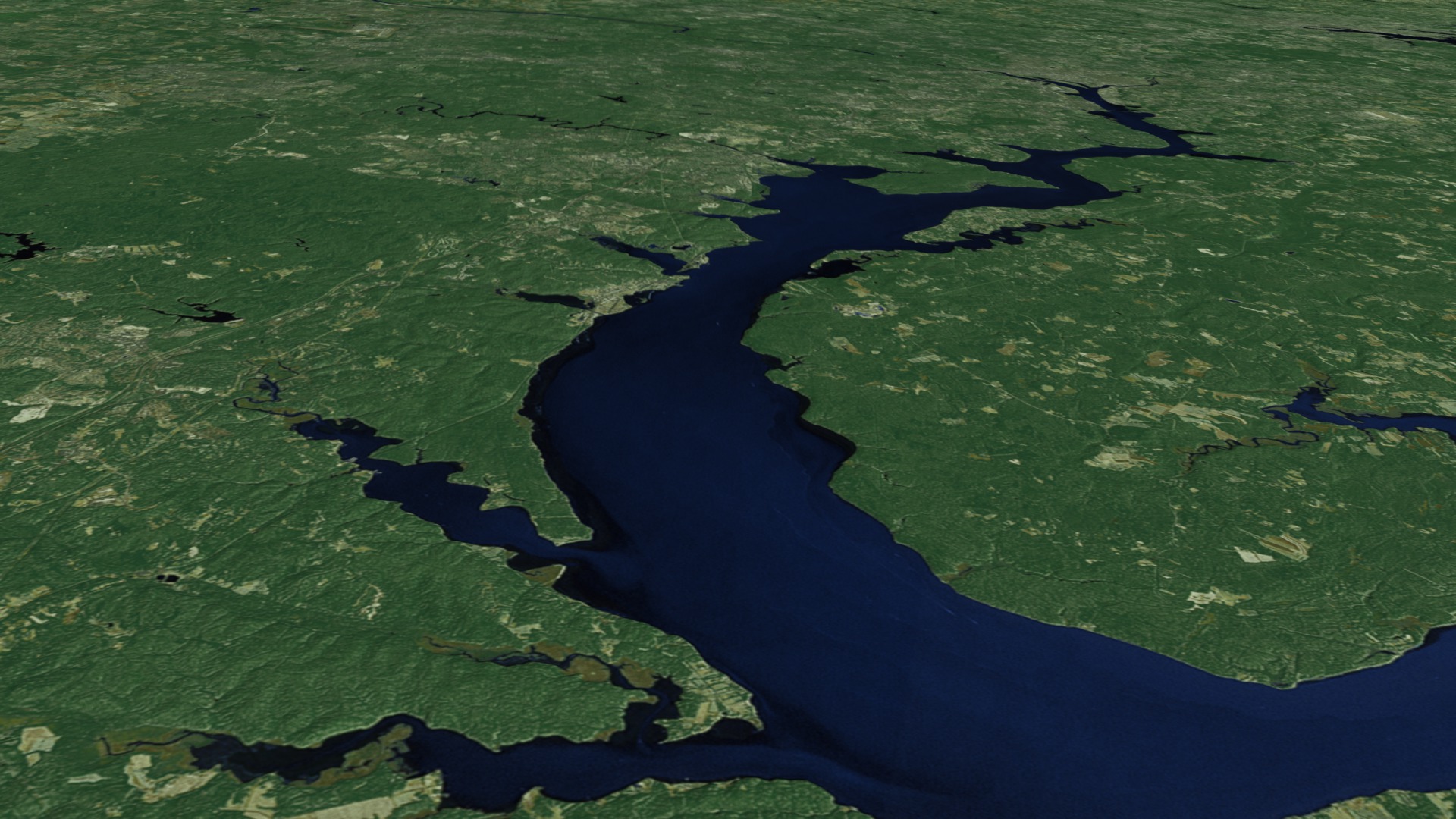
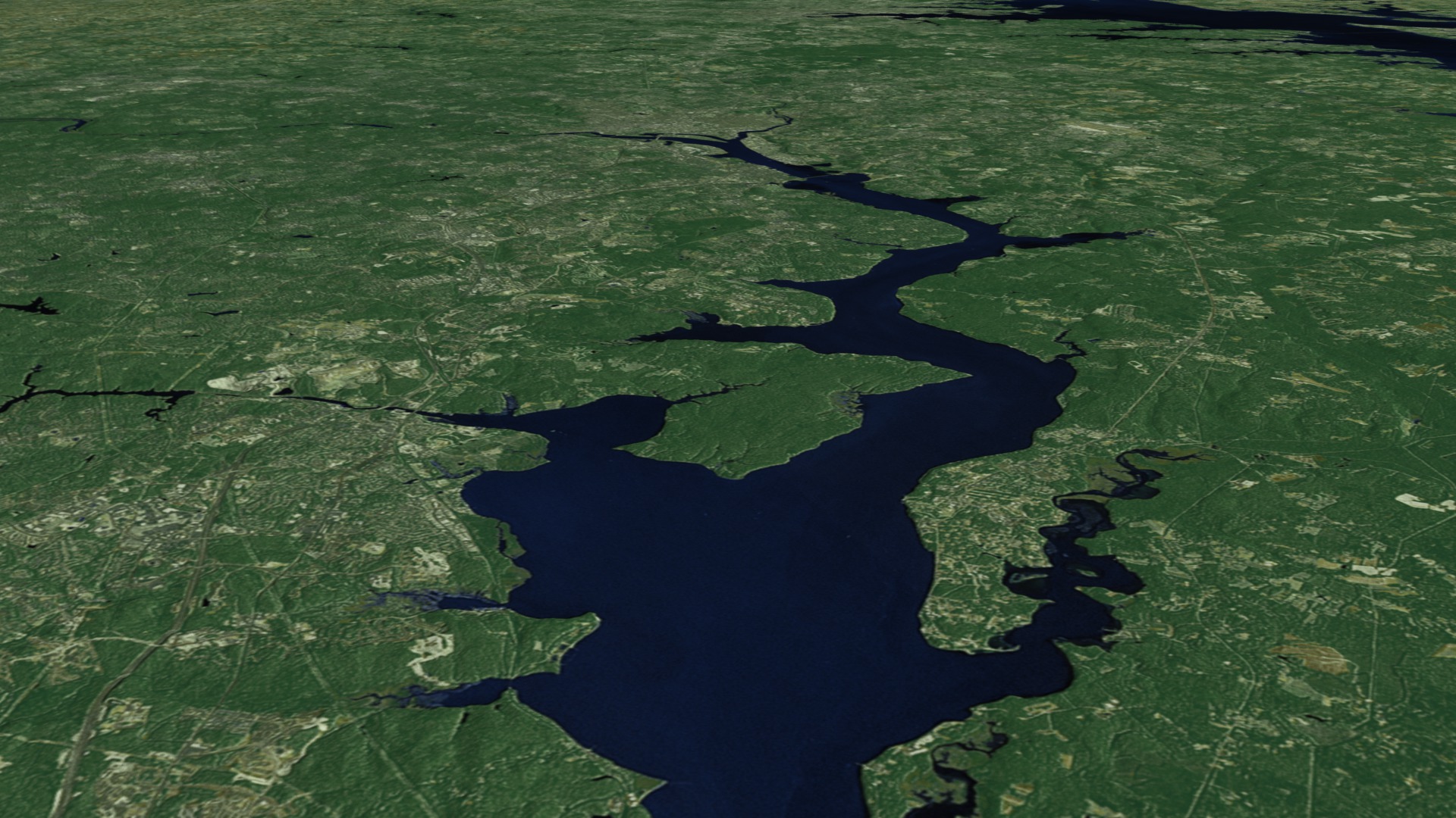
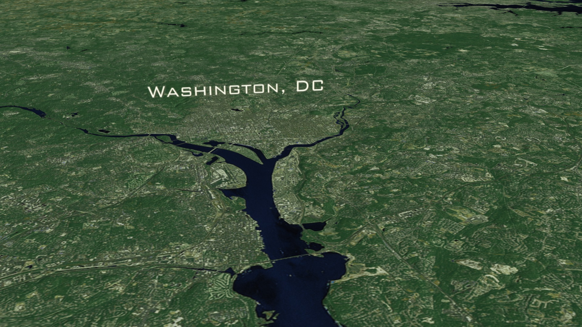
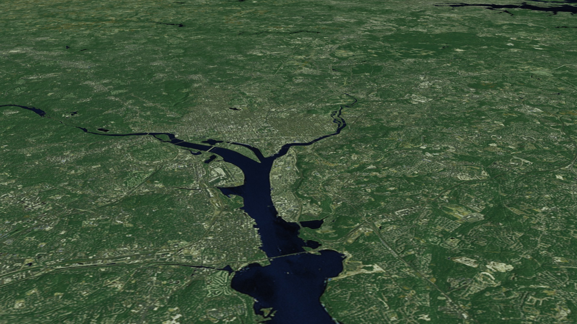
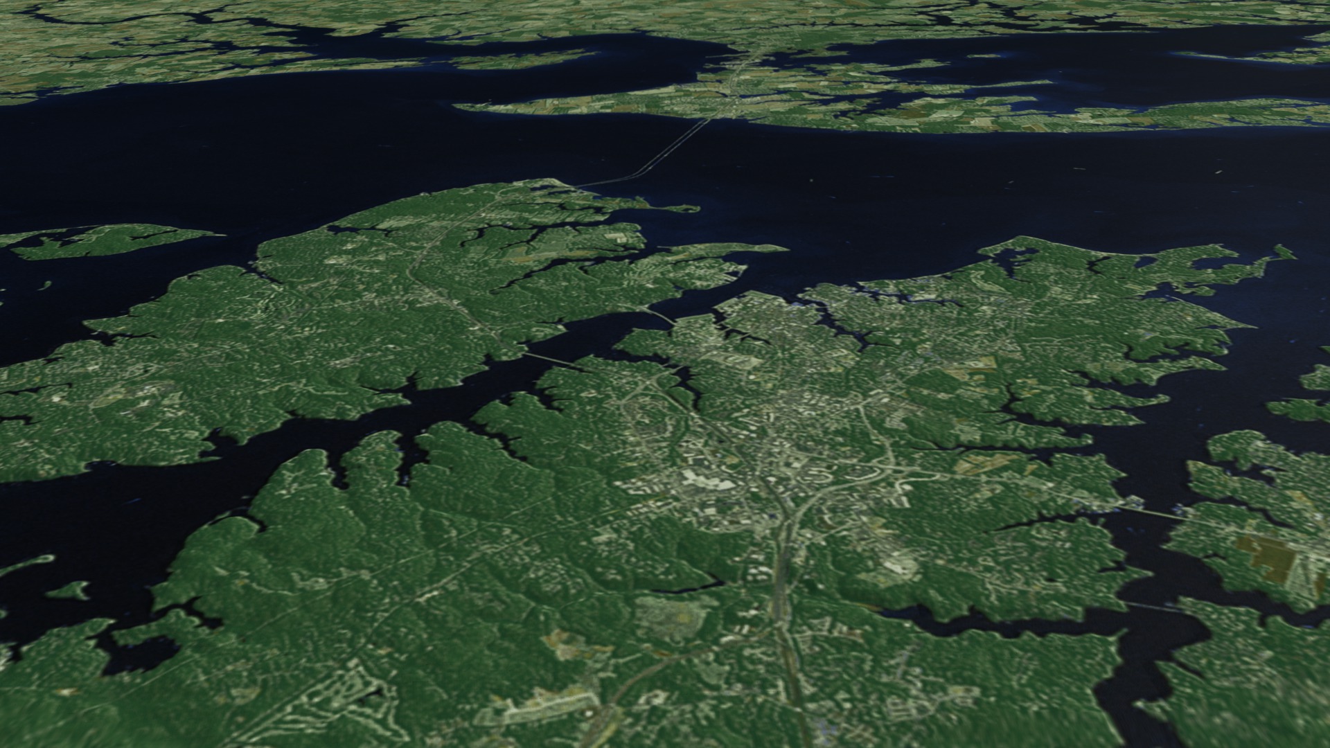
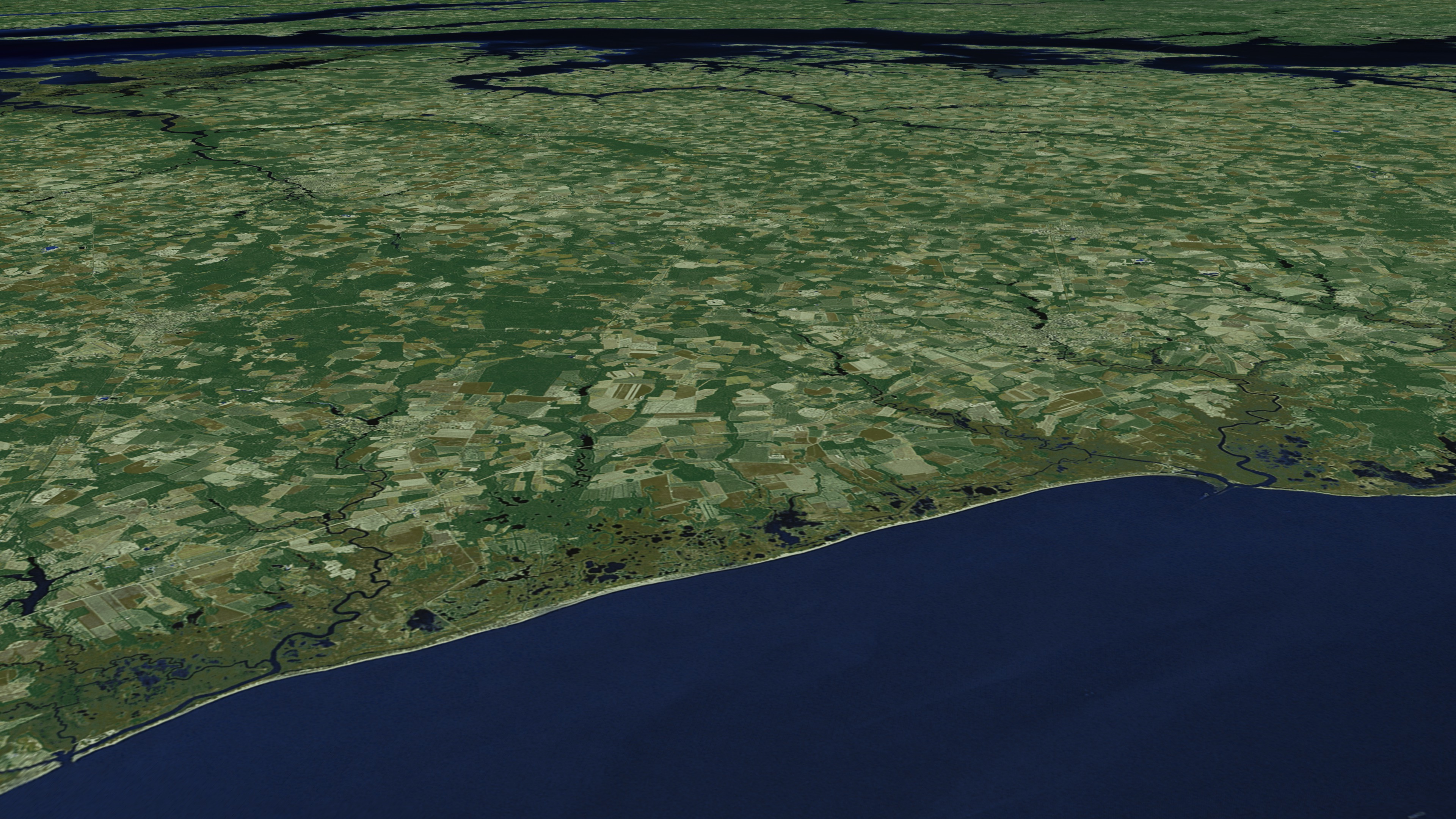
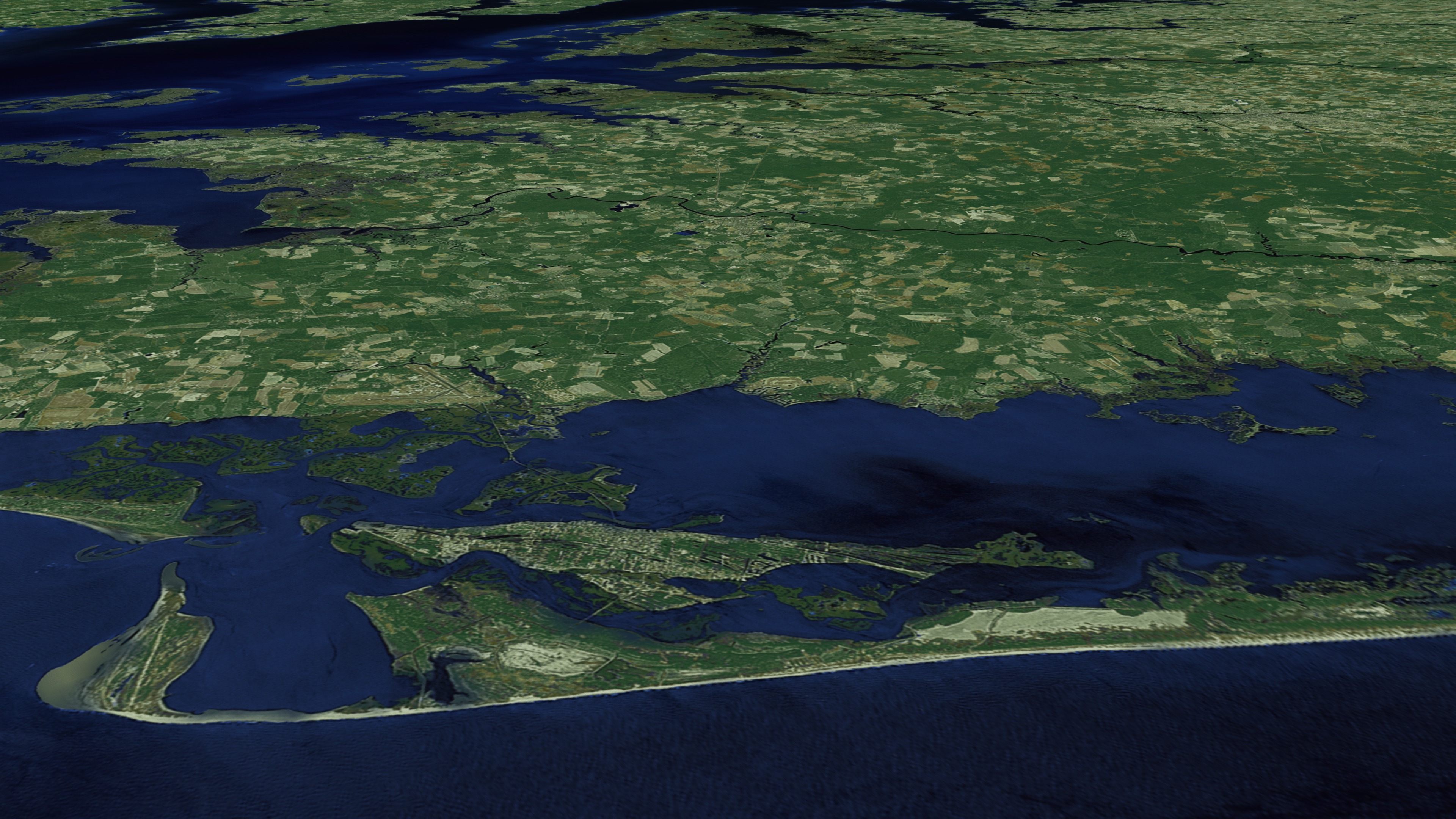
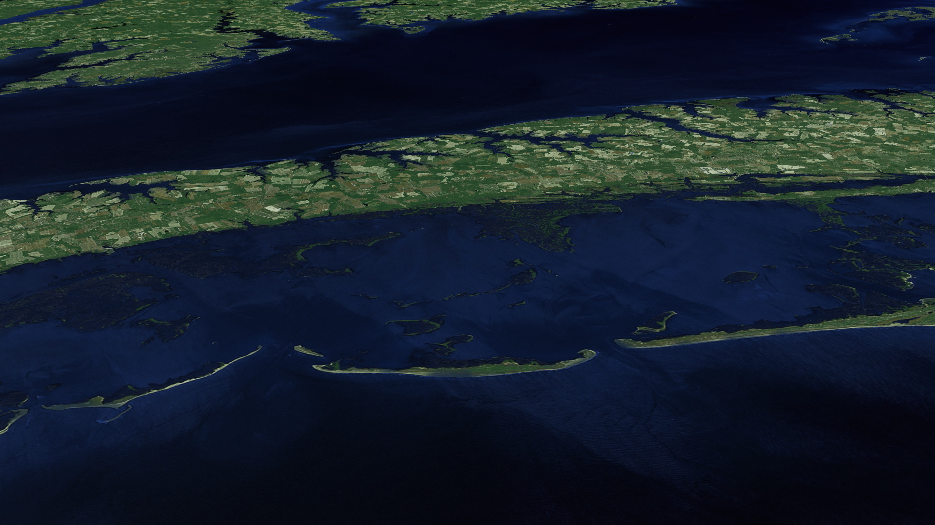
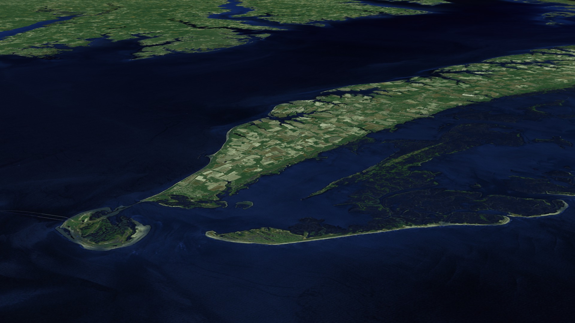
Chesapeake Bay Cities
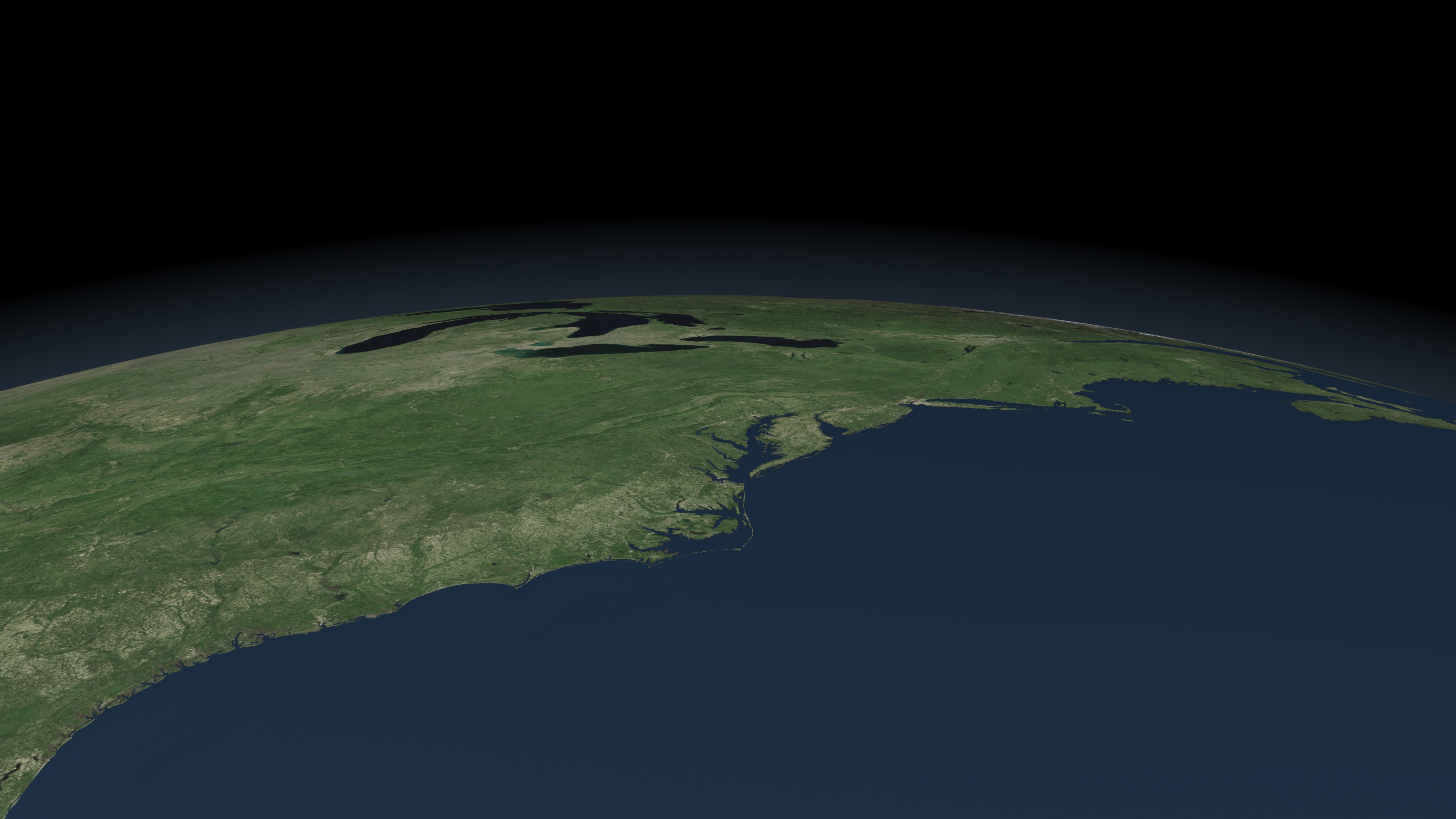
The mosaic was created by EarthSat under contract with NASA as part of the GeoCover 2000 product. All images used in GeoCover were acquired by Landsat 7 during the period of 1999-2002. The pixel size of the full resolution image represents 14.25 m on the ground. The Chesapeake Bay mosaic uses portions of eight Landsat-7 scenes. Below you will find a listing of the eight Landsat 7 images that were put together to create the composite image. Landsat scenes are organized by a Path and Row number according to the Worldwide Reference System. (To learn more about Landsat's Worldwide Reference System, please visit: http://landsat.gsfc.nasa.gov/about/wrs.html)
Scenes used in the Chesapeake Bay mosaic: Landsat 7 WRS Path 15-Row 32 acquired on Oct. 05, 2001 Landsat 7 WRS Path 14-Row 32 acquired on Sept. 23, 1999 Landsat 7 WRS Path 15-Row 33 acquired on October 05, 2001 Landsat 7 WRS Path 14-Row 33 acquired on July 10, 2001 Landsat 7 WRS Path 15-Row 34 acquired on Sept. 30, 1999 Landsat 7 WRS Path 14-Row 34 acquired on July 10, 2001 Landsat 7 WRS Path 15-Row 35 acquired on Sept. 30, 1999 Landsat 7 WRS Path 14-Row 35 acquired on Sept. 23, 1999


Visualization Credits
Greg Shirah (NASA/GSFC): Animator
Cindy Starr (Global Science and Technology, Inc.): Visualizer
Lori Perkins (NASA/GSFC): Animator
Andrew Freeberg (NASA/GSFC): Producer
Darrel Williams (NASA/GSFC): Scientist
Laura Rocchio (SSAI): Scientist
NASA/Goddard Space Flight Center Scientific Visualization Studio
https://svs.gsfc.nasa.gov/3493
Mission:
Landsat
Data Used:
METEOSAT-6/MVIRI/Cloud Cover
Landsat-7/ETM+
1999-2002This item is part of these series:
Landsat 7
Chesapeake Bay
Goddard TV Tapes:
G2008-034HD -- NASAs HD Chesapeake Bay Resource Tape
G2008-041HD -- NASAs Landsat in HD 2008 Resource Tape
Keywords:
SVS >> Chesapeake Bay
SVS >> Flyover
SVS >> HDTV
SVS >> Landsat
SVS >> Population growth
GCMD >> Earth Science
GCMD >> Earth Science >> Human Dimensions >> Environmental Impacts >> Urbanization
GCMD >> Location >> Delaware
GCMD >> Location >> District Of Columbia
GCMD >> Location >> Maryland
GCMD >> Location >> Virginia
SVS >> For Educators
NASA Science >> Earth
GCMD keywords can be found on the Internet with the following citation: Olsen, L.M., G. Major, K. Shein, J. Scialdone, S. Ritz, T. Stevens, M. Morahan, A. Aleman, R. Vogel, S. Leicester, H. Weir, M. Meaux, S. Grebas, C.Solomon, M. Holland, T. Northcutt, R. A. Restrepo, R. Bilodeau, 2013. NASA/Global Change Master Directory (GCMD) Earth Science Keywords. Version 8.0.0.0.0


