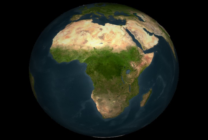
Earth
ID: 3120
This is an animation showing data from ICESat's Geoscience Laser Altimeter System (GLAS). Aerosol data are shown spanning 80 passes over the Africa region from October 4 through October 28 2003. The data are initially shown in the time order collected using an 8 day moving time window. After that, the first 40 passes are all shown at once and a flown over.
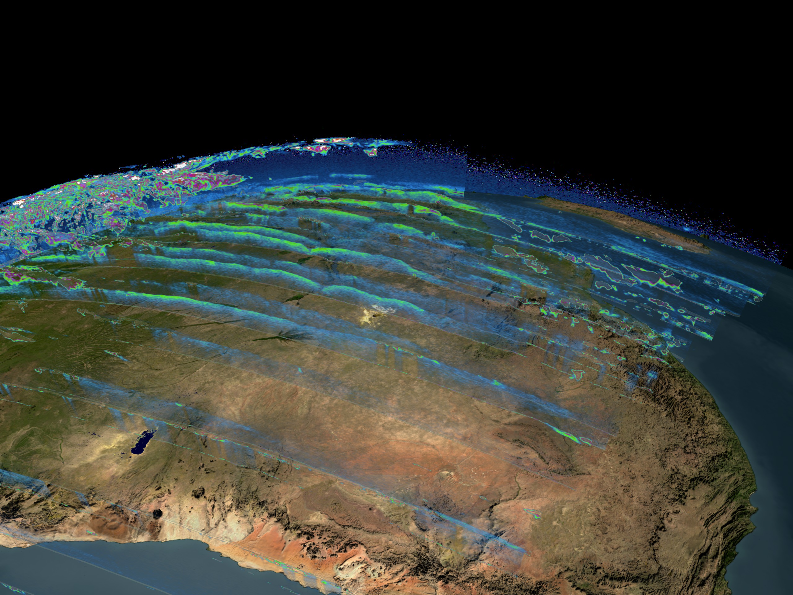
ICESat Aerosols over Africa
Visualization Credits
Greg Shirah (NASA/GSFC): Lead Animator
Alex Kekesi (Global Science and Technology, Inc.): Animator
Steve Palm (NASA/GSFC): Scientist
Alex Kekesi (Global Science and Technology, Inc.): Animator
Steve Palm (NASA/GSFC): Scientist
Please give credit for this item to:
NASA/Goddard Space Flight Center Scientific Visualization Studio
NASA/Goddard Space Flight Center Scientific Visualization Studio
Short URL to share this page:
https://svs.gsfc.nasa.gov/3120
Mission:
Ice, Cloud, and land Elevation Satellite (ICESat)
Data Used:
Note: While we identify the data sets used in these visualizations, we do not store any further details nor the data sets themselves on our site.
Keywords:
NASA Science >> Earth
SVS >> Ice
https://svs.gsfc.nasa.gov/3120
Mission:
Ice, Cloud, and land Elevation Satellite (ICESat)
Data Used:
ICESat/GLAS
2003/10/04 - 2003/10/28Keywords:
NASA Science >> Earth
SVS >> Ice


