Earth
ID: 30178
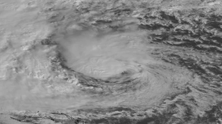
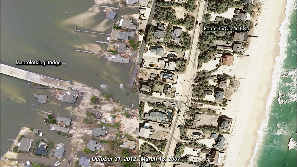
On October 29, 2012, Superstorm Sandy changed the lives of many living along the U.S. East Coast—especially along the shorelines of New Jersey, New York, and Connecticut. At landfall, heavy rains pelted states as far inland as Wisconsin and surging seawater washed away beaches and flooded streets, businesses, and homes. These two images show a portion of the New Jersey coastal town of Mantolokig, just north of where the storm made landfall, before (March 18, 2007) and after (October 31, 2012) the storm. On the barrier island, entire blocks of houses along Route 35 (also called Ocean Boulevard) were damaged or completely washed away by the storm surge and wind. Fires raged in the town from natural gas lines that had ruptured and ignited. A new inlet was cut across the island, connected the Atlantic Ocean and the Jones Tide Pond.
A Changed Coastline in New Jersey
Related
For More Information
Credits
Marit Jentoft-Nilsen: Animator
Please give credit for this item to:
Aerial photography courtesy of the NOAA Remote Sensing Division
Aerial photography courtesy of the NOAA Remote Sensing Division
Short URL to share this page:
https://svs.gsfc.nasa.gov/30178
Keywords:
SVS >> HDTV
SVS >> Tropical Storm
GCMD >> Earth Science >> Oceans >> Coastal Processes
GCMD >> Earth Science >> Oceans >> Coastal Processes >> Erosion
GCMD >> Location >> New Jersey
SVS >> Hyperwall
SVS >> Natural Disaster
NASA Science >> Earth
SVS >> Presentation
GCMD keywords can be found on the Internet with the following citation: Olsen, L.M., G. Major, K. Shein, J. Scialdone, S. Ritz, T. Stevens, M. Morahan, A. Aleman, R. Vogel, S. Leicester, H. Weir, M. Meaux, S. Grebas, C.Solomon, M. Holland, T. Northcutt, R. A. Restrepo, R. Bilodeau, 2013. NASA/Global Change Master Directory (GCMD) Earth Science Keywords. Version 8.0.0.0.0


