Earth
ID: 2658
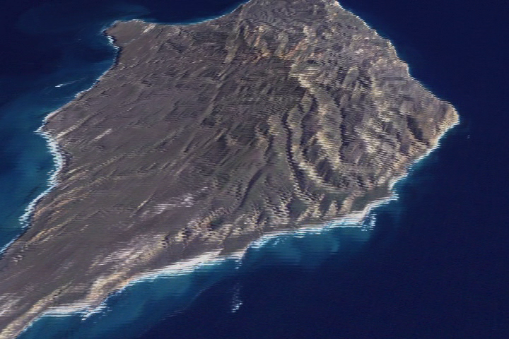
By using Landsat-7/ETM+ data and USGS DEM Elevation data, we are able to take a virtual tour of the Channel Islands and the coast of California. For more information on the Channel Islands, please visit http://www.channel.islands.national-park.com.
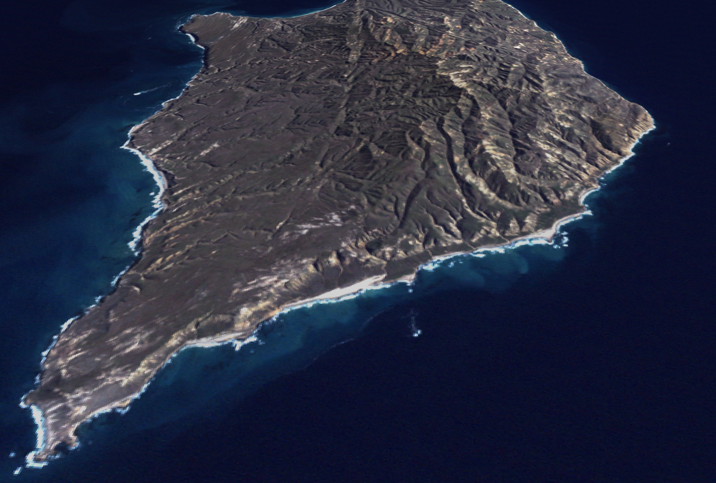

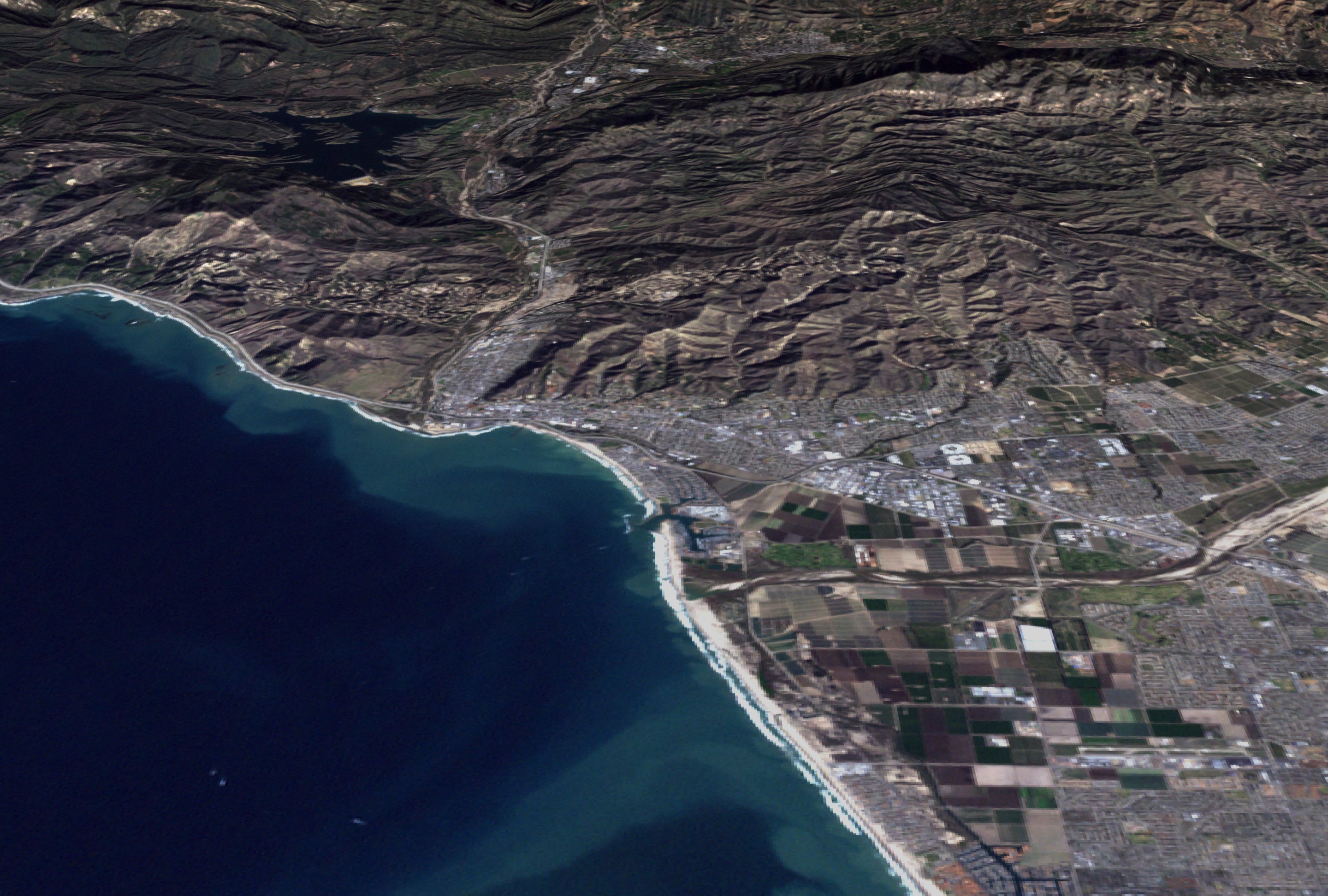
JASON Project: Flying over the Channel Islands
Visualization Credits
Please give credit for this item to:
NASA/Goddard Space Flight Center Scientific Visualization Studio
NASA/Goddard Space Flight Center Scientific Visualization Studio
Short URL to share this page:
https://svs.gsfc.nasa.gov/2658
Mission:
Landsat
Data Used:
Note: While we identify the data sets used in these visualizations, we do not store any further details nor the data sets themselves on our site.
This item is part of this series:
Landsat 7
Keywords:
DLESE >> Physical geography
GCMD >> Location >> Channel Islands
GCMD >> Location >> California
NASA Science >> Earth
GCMD keywords can be found on the Internet with the following citation: Olsen, L.M., G. Major, K. Shein, J. Scialdone, S. Ritz, T. Stevens, M. Morahan, A. Aleman, R. Vogel, S. Leicester, H. Weir, M. Meaux, S. Grebas, C.Solomon, M. Holland, T. Northcutt, R. A. Restrepo, R. Bilodeau, 2013. NASA/Global Change Master Directory (GCMD) Earth Science Keywords. Version 8.0.0.0.0
https://svs.gsfc.nasa.gov/2658
Mission:
Landsat
Data Used:
Landsat-7/ETM+
2001/02/0430 arc-minute elevation
Model - USGSThis item is part of this series:
Landsat 7
Keywords:
DLESE >> Physical geography
GCMD >> Location >> Channel Islands
GCMD >> Location >> California
NASA Science >> Earth
GCMD keywords can be found on the Internet with the following citation: Olsen, L.M., G. Major, K. Shein, J. Scialdone, S. Ritz, T. Stevens, M. Morahan, A. Aleman, R. Vogel, S. Leicester, H. Weir, M. Meaux, S. Grebas, C.Solomon, M. Holland, T. Northcutt, R. A. Restrepo, R. Bilodeau, 2013. NASA/Global Change Master Directory (GCMD) Earth Science Keywords. Version 8.0.0.0.0


