Earth
ID: 2555
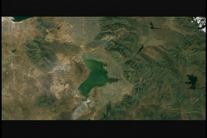
Landsat 7 imagery is combined here with terrain elevation data to create a view of the Salt Lake City area. This image was taken in the Summer of 2001 and can be compared to identical animations using images taken at other times of the year. This visualization was created for the NASM2002 presentation and is based on a earlier visualizations created for the 2002 Winter Olympics in Salt Lake City.

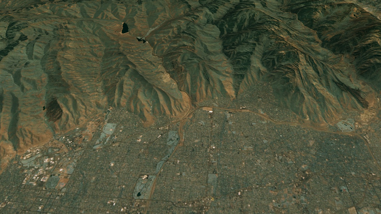
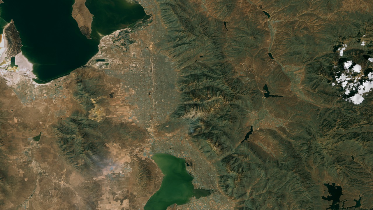

Salt Lake City, Utah Area Flyover During Summer (NASM2002)
Visualization Credits
Greg Shirah (NASA/GSFC): Lead Animator
James W. Williams (GST): Animator
Marte Newcombe (GST): Animator
Darrel Williams (NASA/GSFC): Scientist
James W. Williams (GST): Animator
Marte Newcombe (GST): Animator
Darrel Williams (NASA/GSFC): Scientist
Please give credit for this item to:
NASA/Goddard Space Flight Center Scientific Visualization Studio
NASA/Goddard Space Flight Center Scientific Visualization Studio
Short URL to share this page:
https://svs.gsfc.nasa.gov/2555
Mission:
Landsat
Data Used:
Note: While we identify the data sets used in these visualizations, we do not store any further details nor the data sets themselves on our site.
This item is part of this series:
NASM2002
Keywords:
SVS >> HDTV
DLESE >> Physical geography
SVS >> Seasons
NASA Science >> Earth
https://svs.gsfc.nasa.gov/2555
Mission:
Landsat
Data Used:
Landsat-7/ETM+
2001/07/3130 arc-minute elevation
Model - USGSThis item is part of this series:
NASM2002
Keywords:
SVS >> HDTV
DLESE >> Physical geography
SVS >> Seasons
NASA Science >> Earth


