Earth
ID: 2480
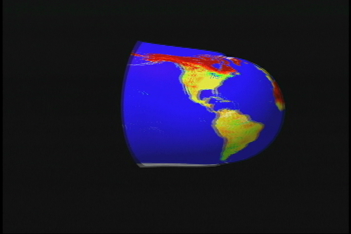
The MODIS instrument, flying aboard NASA's Terra and Aqua satellites, measures albedo. Albedo measures the proportion of incoming solar radiation reaching a surface that is reflected back to the atmosphere and to space. For an unchanging surface, albedo can vary somewhat, depending on the sky and atmospheric conditions. This image maps the white-sky albedo, which is the albedo under conditions of a uniform, dense cloud cover, in which downwelling light energy comes uniformly from all directions. The color bar indicates the albedo value ranging from 0.0 to 0.4 over the Earth's land surfaces. Areas colored red show the brightest, most reflective regions; yellows and greens are intermediate values; and blues and violets show relatively dark surfaces. White indicates no data is available. Typically, vegetated surfaces and water have low albedos, while soil and urban surfaces have somewhat higher values. Note that solar energy that is not reflected away from a surface is absorbed by that surface. Thus, albedo also provides information about the amount of energy absorbed by a surface. Since this energy serves to heat the soil and the air just above the surface, albedo is an important factor in weather and climate studies, and especially is important for modeling of weather and climate on scales of days to years.
This image was produced using data composited over a 16-day period, from April 7-22, 2002.


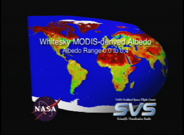
MODIS White Sky Albedo Unwraps to False Color Albedo Flat Map
This image was produced using data composited over a 16-day period, from April 7-22, 2002.
For More Information
Visualization Credits
Lori Perkins (NASA/GSFC): Lead Animator
Greg Shirah (NASA/GSFC): Animator
Crystal Schaaf (Boston University): Scientist
Elena Tsvetsinskaya (Boston University): Scientist
Greg Shirah (NASA/GSFC): Animator
Crystal Schaaf (Boston University): Scientist
Elena Tsvetsinskaya (Boston University): Scientist
Please give credit for this item to:
NASA/Goddard Space Flight Center Scientific Visualization Studio
NASA/Goddard Space Flight Center Scientific Visualization Studio
Short URL to share this page:
https://svs.gsfc.nasa.gov/2480
Mission:
Terra
Data Used:
Note: While we identify the data sets used in these visualizations, we do not store any further details nor the data sets themselves on our site.
This item is part of this series:
MODIS Albedo
Keywords:
SVS >> Albedo
DLESE >> Climatology
SVS >> Forecast
DLESE >> Physical geography
DLESE >> Physical oceanography
DLESE >> Technology
NASA Science >> Earth
https://svs.gsfc.nasa.gov/2480
Mission:
Terra
Data Used:
Terra/MODIS
2002/04/07 - 2002/04/22This item is part of this series:
MODIS Albedo
Keywords:
SVS >> Albedo
DLESE >> Climatology
SVS >> Forecast
DLESE >> Physical geography
DLESE >> Physical oceanography
DLESE >> Technology
NASA Science >> Earth


