Earth
ID: 2359
Comparing two data sets for Bingham Canyon Copper Mine, Utah, from the Landsat satellite series. The first data set is from August 7, 1972; the second, from July 31, 2000.


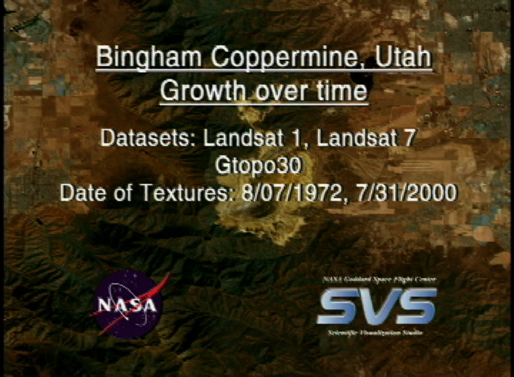
Bingham Coppermine, Utah: Growth Over Time!
For More Information
Visualization Credits
Stuart A. Snodgrass (GST): Lead Animator
Marte Newcombe (GST): Animator
Darrel Williams (NASA/GSFC): Scientist
Marte Newcombe (GST): Animator
Darrel Williams (NASA/GSFC): Scientist
Please give credit for this item to:
NASA/Goddard Space Flight Center Scientific Visualization Studio
NASA/Goddard Space Flight Center Scientific Visualization Studio
Short URL to share this page:
https://svs.gsfc.nasa.gov/2359
Mission:
Landsat
Data Used:
Note: While we identify the data sets used in these visualizations, we do not store any further details nor the data sets themselves on our site.
Keywords:
SVS >> Bingham Coppermine
DLESE >> Environmental science
DLESE >> Human geography
SVS >> Olympics
NASA Science >> Earth
https://svs.gsfc.nasa.gov/2359
Mission:
Landsat
Data Used:
Landsat-1/MSS
1972/08/07Landsat-7/ETM+
2000/07/31GTOPO30
Model - USGSKeywords:
SVS >> Bingham Coppermine
DLESE >> Environmental science
DLESE >> Human geography
SVS >> Olympics
NASA Science >> Earth


