NASA Joins Jane Goodall to Conserve Chimp Habitats
Complete transcript available.
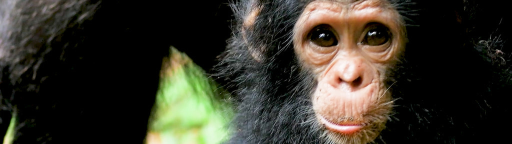
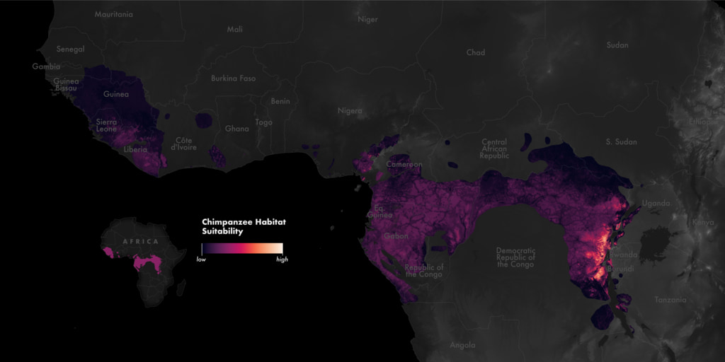
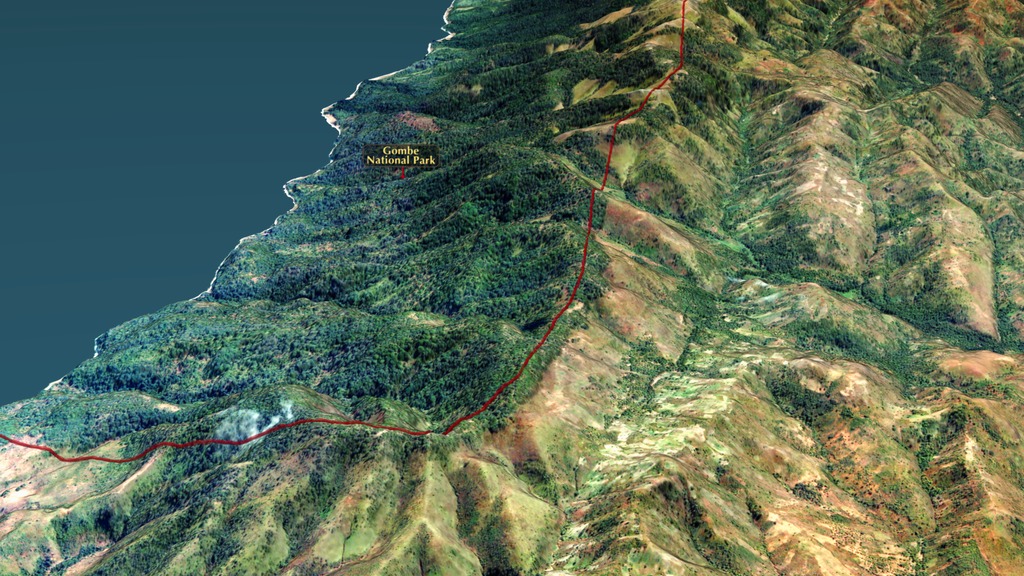
Chimpanzee populations have been decimated over the last 50 years. All that time, earth-observing satellites like Landsat have documented the shrinking of their home, Africa’s equatorial forest belt. The Jane Goodall Institute uses satellite data to empower local communities to drive conservation in their own landscapes. With support from NASA, JGI used Landsat data to create habitat suitability maps for chimpanzees. Mobile apps also bring in data in real time so communities can protect their village forest reserves and create land use plans for watersheds, people, and chimpanzees. After years of forest loss, the last few decades have seen habitats recovering.
Conservation dashboards created with support from NASA, The University of Maryland, Esri, Maxar, and the US Agency for International Development.
Video footage courtesy Jane Goodall Productions.
Data visualizations used in this video showing changes in forest density can be found here. And visualizations from NASA/USGS Landsat data can be found here.
Credits
Please give credit for this item to:
NASA's Goddard Space Flight Center
-
Producer
- Jefferson Beck (KBR Wyle Services, LLC)
-
Visualizers
- Cindy Starr (Global Science and Technology, Inc.)
- Michala Garrison (SSAI)
-
Public affairs officer
- Aries Keck (ADNET Systems, Inc.)
-
Scientist
- Lilian Pintea (The Jane Goodall Institute)
Release date
This page was originally published on Wednesday, September 13, 2023.
This page was last updated on Tuesday, September 12, 2023 at 11:45 PM EDT.
Series
This visualization can be found in the following series:Related
Sources
- ID: 4948
 Visualization
 - ID: 5160
- ID: 4928
 Visualization
 - ID: 4483
 Visualization
 - ID: 3939
 Visualization