Earth
ID: 1232
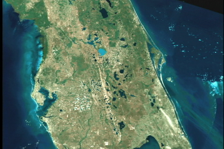
Viewing Earth from space, the Landsat 7 satellite takes images of the Earth, which allows us to look at land changes such as urban growth, deforestation, and overall changes in the earth itself. Here is a Landsat 7 image of Tampa, Florida.
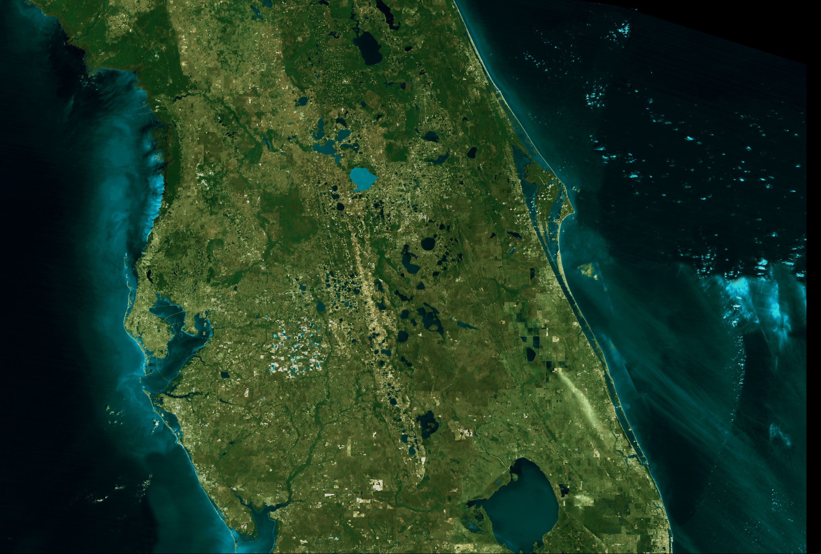
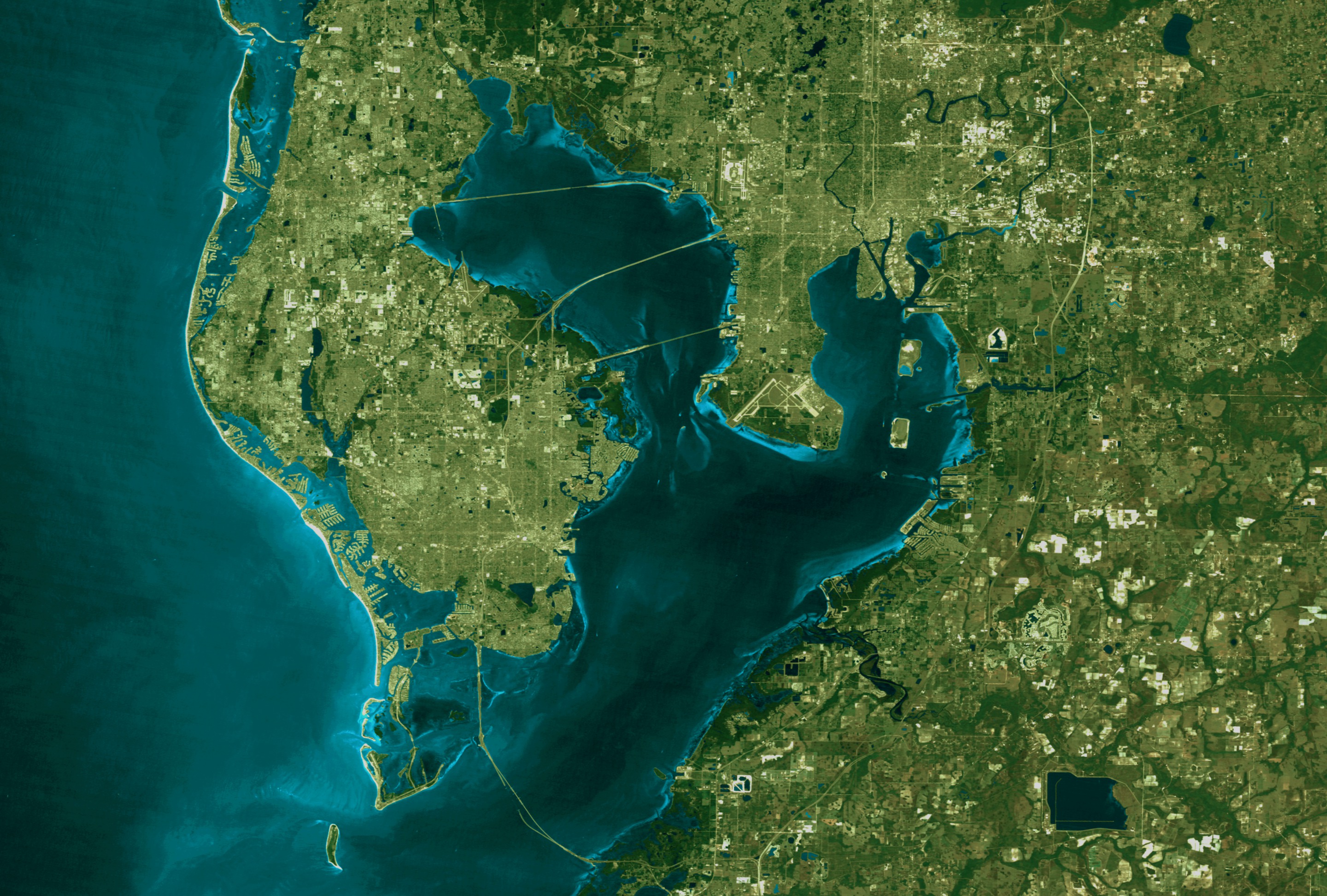
Landsat 7 Fly Over of Tampa, Florida
Visualization Credits
Please give credit for this item to:
NASA/Goddard Space Flight Center Scientific Visualization Studio
NASA/Goddard Space Flight Center Scientific Visualization Studio
Short URL to share this page:
https://svs.gsfc.nasa.gov/1232
Mission:
Landsat
Data Used:
Note: While we identify the data sets used in these visualizations, we do not store any further details nor the data sets themselves on our site.
This item is part of this series:
Earth Views
Keywords:
DLESE >> Human geography
DLESE >> Physical geography
SVS >> Tampa
GCMD >> Location >> Florida
NASA Science >> Earth
GCMD keywords can be found on the Internet with the following citation: Olsen, L.M., G. Major, K. Shein, J. Scialdone, S. Ritz, T. Stevens, M. Morahan, A. Aleman, R. Vogel, S. Leicester, H. Weir, M. Meaux, S. Grebas, C.Solomon, M. Holland, T. Northcutt, R. A. Restrepo, R. Bilodeau, 2013. NASA/Global Change Master Directory (GCMD) Earth Science Keywords. Version 8.0.0.0.0
https://svs.gsfc.nasa.gov/1232
Mission:
Landsat
Data Used:
This item is part of this series:
Earth Views
Keywords:
DLESE >> Human geography
DLESE >> Physical geography
SVS >> Tampa
GCMD >> Location >> Florida
NASA Science >> Earth
GCMD keywords can be found on the Internet with the following citation: Olsen, L.M., G. Major, K. Shein, J. Scialdone, S. Ritz, T. Stevens, M. Morahan, A. Aleman, R. Vogel, S. Leicester, H. Weir, M. Meaux, S. Grebas, C.Solomon, M. Holland, T. Northcutt, R. A. Restrepo, R. Bilodeau, 2013. NASA/Global Change Master Directory (GCMD) Earth Science Keywords. Version 8.0.0.0.0


