Earth
ID: 11911
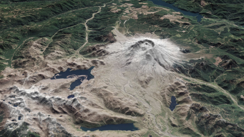
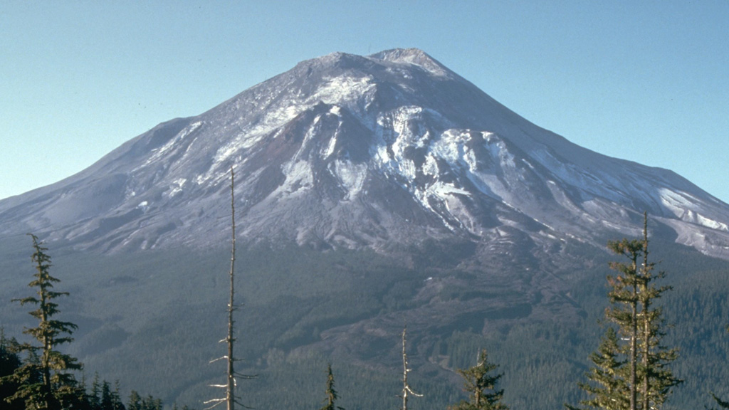
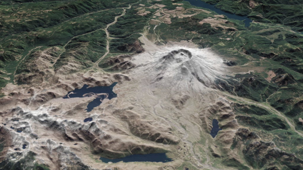
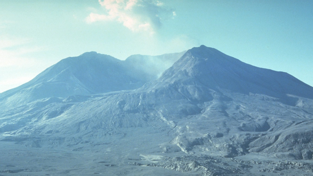
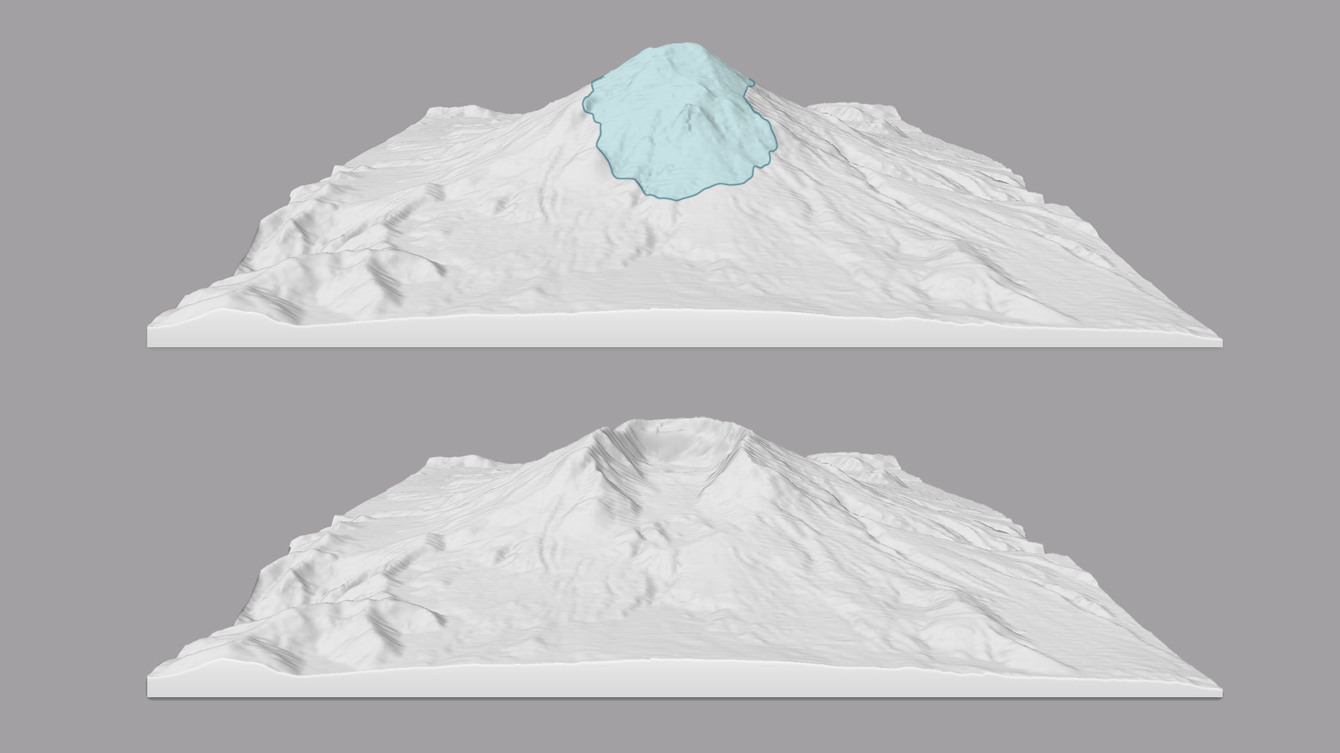
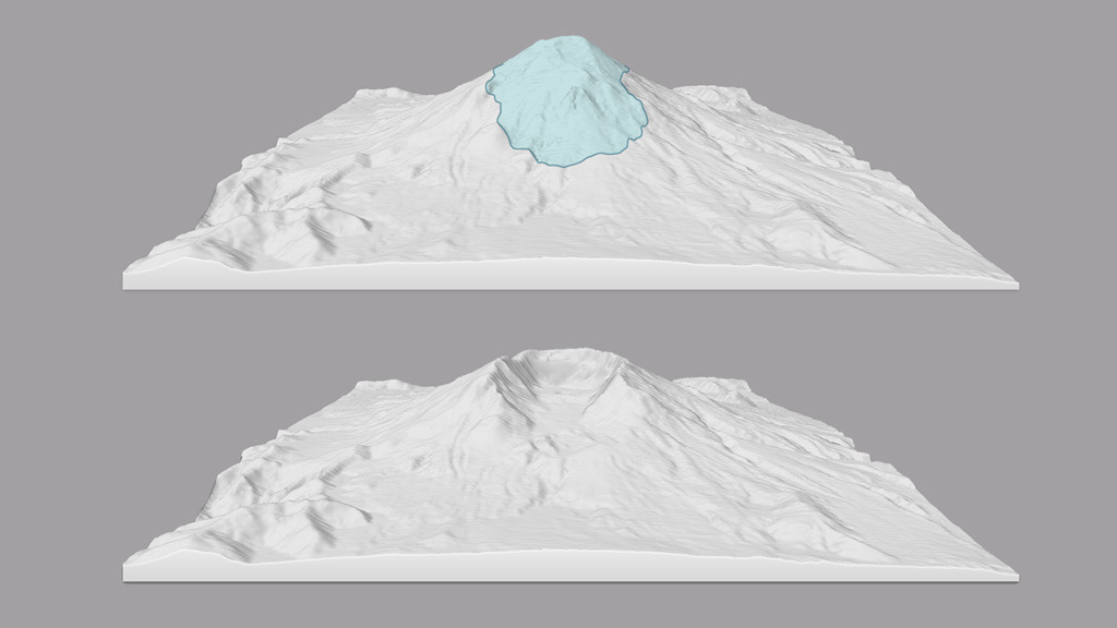
On May 18, 1980, Mount St. Helens experienced a cataclysmic flank collapse, avalanche, and explosion that killed 57 people and displaced many others. The event dramatically reshaped the volcano and surrounding land in southwest Washington. Now, 35 years later, satellites in orbit and scientists on the ground still monitor the mountain and track the recovery. The mountain’s north flank was the site of the collapse and lateral explosion that devastated 150 square miles of the landscape. Deposits from the landslide on the north flank buried the valley of the North Fork Toutle River with debris up to 600 feet deep in some places. Rivers have since reworked their way across the landscape, and new vegetation has greened up much of the land. Watch the video for a 360-degree view of Mount St. Helens as it appeared on April 30, 2015.

Mount St. Helens at 35
For More Information
Story Credits
Lead Visualizer/Animator:
Joshua Stevens (SSAI)
Visualizer/Animator:
Jesse Allen (SSAI)
Lead Writer:
Adam P. Voiland (SSAI)
Writer:
Mike Carlowicz (SSAI)
Joshua Stevens (SSAI)
Visualizer/Animator:
Jesse Allen (SSAI)
Lead Writer:
Adam P. Voiland (SSAI)
Writer:
Mike Carlowicz (SSAI)
Please give credit for this item to:
NASA's Earth Observatory
Photos courtesy of USGS/Harry Glicken
NASA's Earth Observatory
Photos courtesy of USGS/Harry Glicken
Short URL to share this page:
https://svs.gsfc.nasa.gov/11911
Keywords:
SVS >> App
NASA Science >> Earth
https://svs.gsfc.nasa.gov/11911
Keywords:
SVS >> App
NASA Science >> Earth


