Earth
ID: 11451

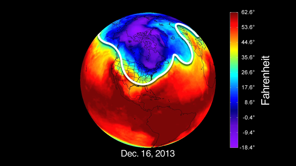
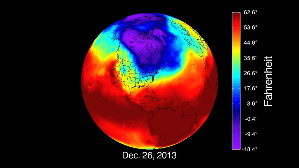
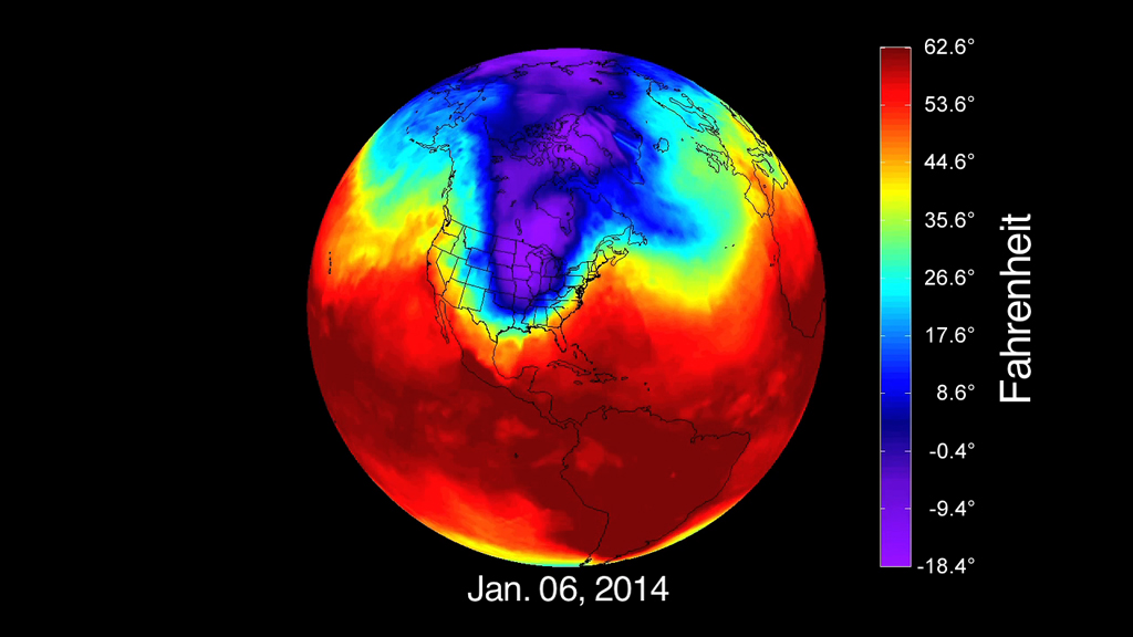
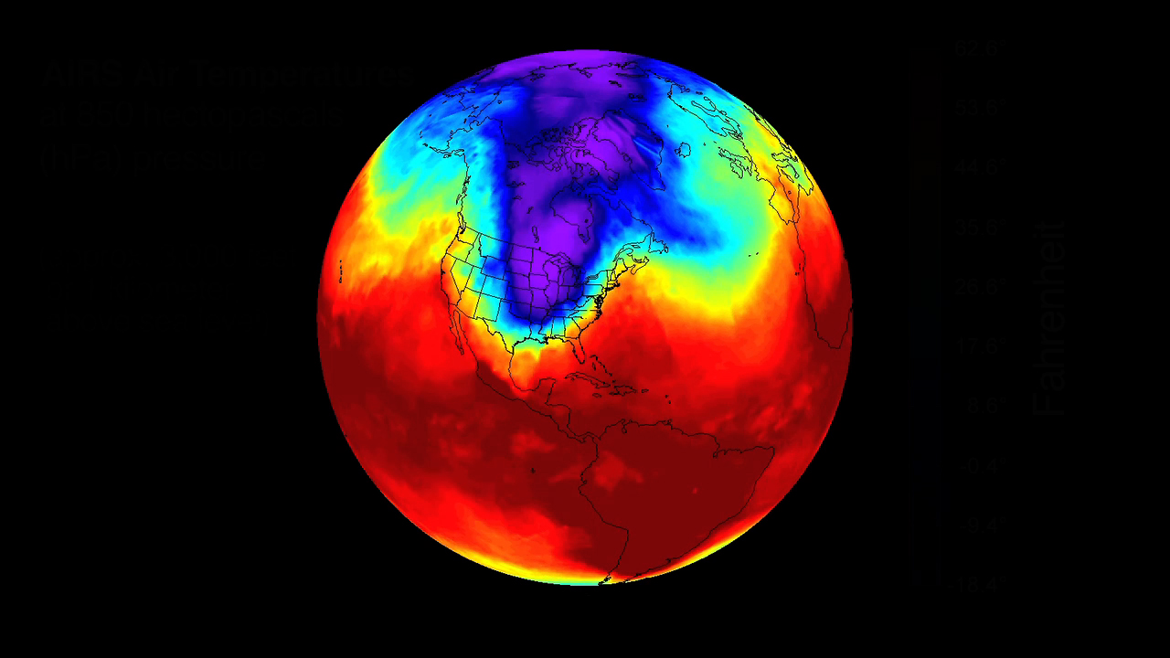
A persistent pattern of winds spins high above the Arctic in winter. The winds, known as the polar vortex, typically blow in a fairly tight circular formation. But in late December 2013 and early January 2014, the winds loosened and frigid Arctic air spilled farther south than usual, deep into the continental United States. On Jan. 6, 2014, alone, approximately 50 daily record low temperatures were set, from Colorado to Alabama to New York, according to the National Weather Service. In some places temperatures were 40 degrees Fahrenheit colder than average. Now, an animation created from NASA satellite data shows just how the Arctic air brought a deep chill to the U.S this winter. Watch the video for a guided tour of the event.
The Big Chill
Story Credits
Please give credit for this item to:
NASA's Goddard Space Flight Center
Video and images courtesy of NASA/JPL
NASA's Goddard Space Flight Center
Video and images courtesy of NASA/JPL
Short URL to share this page:
https://svs.gsfc.nasa.gov/11451
Keywords:
SVS >> App
NASA Science >> Earth
https://svs.gsfc.nasa.gov/11451
Keywords:
SVS >> App
NASA Science >> Earth


