Earth
ID: 11389
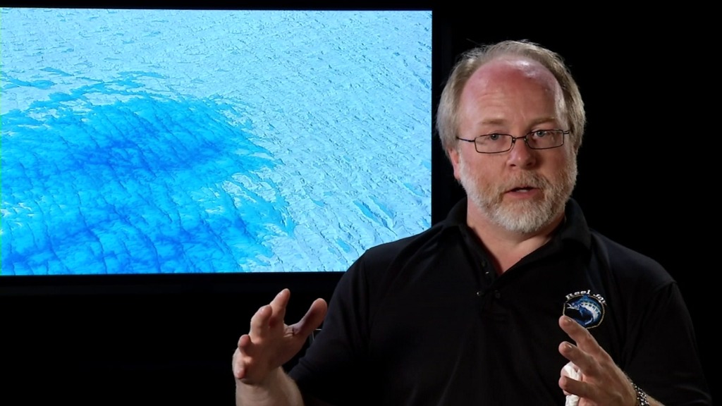
With winter closing in, a new NASA airborne campaign got under way October 31, 2013 in Greenland. For the first time, the Laser Vegetation Imaging Sensor, or LVIS, is flying aboard NASA's new C-130 aircraft to measure the island's ice following a summer's melt. This data will complement measurements the LVIS instrument has taken in previous springtime campaigns as a part of Operation IceBridge, a six-year multi-instrument survey over both Arctic and Antarctic ice.
A Laser Scientist Answers 5 Questions about LVIS
Credits
Jefferson Beck (USRA): Producer
Bryan Blair (NASA/GSFC): Scientist
Michael Studinger (NASA/GSFC): Scientist
Dan Gallagher (USRA): Videographer
Michael Studinger (NASA/GSFC): Videographer
Bryan Blair (NASA/GSFC): Scientist
Michael Studinger (NASA/GSFC): Scientist
Dan Gallagher (USRA): Videographer
Michael Studinger (NASA/GSFC): Videographer
Please give credit for this item to:
NASA's Goddard Space Flight Center
NASA's Goddard Space Flight Center
Short URL to share this page:
https://svs.gsfc.nasa.gov/11389
Mission:
Ice, Cloud, and land Elevation Satellite (ICESat)
Data Used: Note: While we identify the data sets used in these visualizations, we do not store any further details nor the data sets themselves on our site.
This item is part of this series:
Narrated Movies
Keywords:
SVS >> HDTV
SVS >> ICESat
SVS >> Laser Altimeter
GCMD >> Location >> Greenland
SVS >> Glaciers
NASA Science >> Earth
GCMD keywords can be found on the Internet with the following citation: Olsen, L.M., G. Major, K. Shein, J. Scialdone, S. Ritz, T. Stevens, M. Morahan, A. Aleman, R. Vogel, S. Leicester, H. Weir, M. Meaux, S. Grebas, C.Solomon, M. Holland, T. Northcutt, R. A. Restrepo, R. Bilodeau, 2013. NASA/Global Change Master Directory (GCMD) Earth Science Keywords. Version 8.0.0.0.0


