Earth
ID: 11347

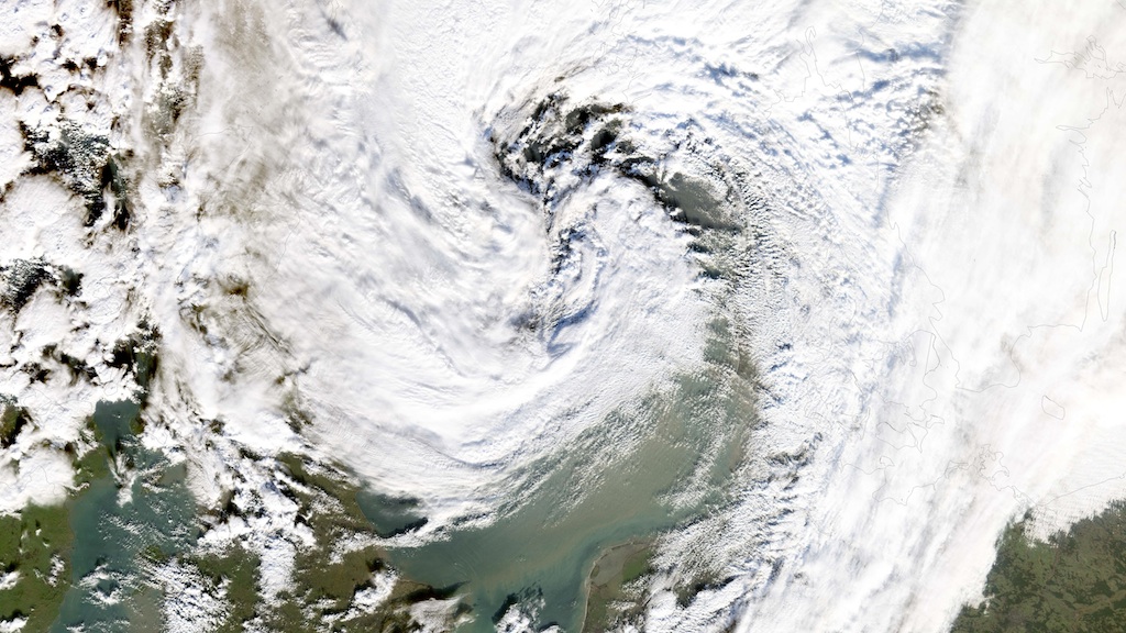
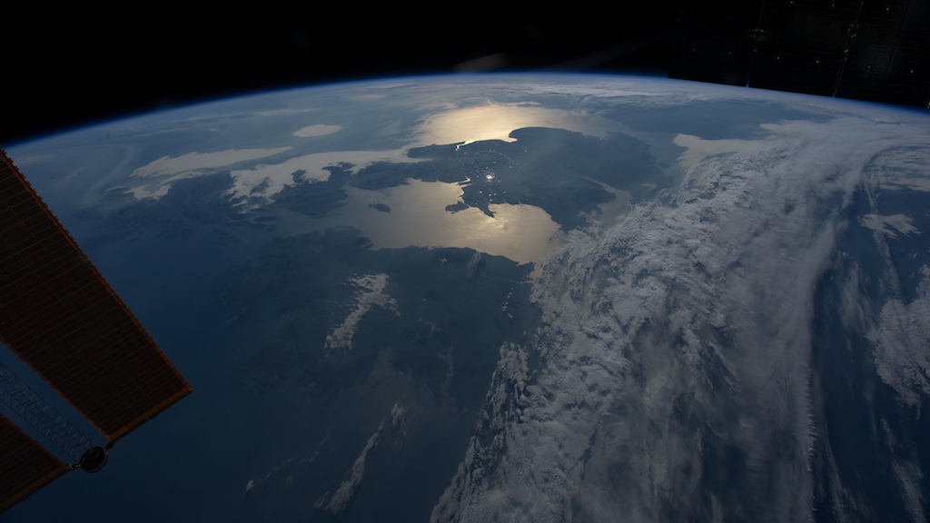
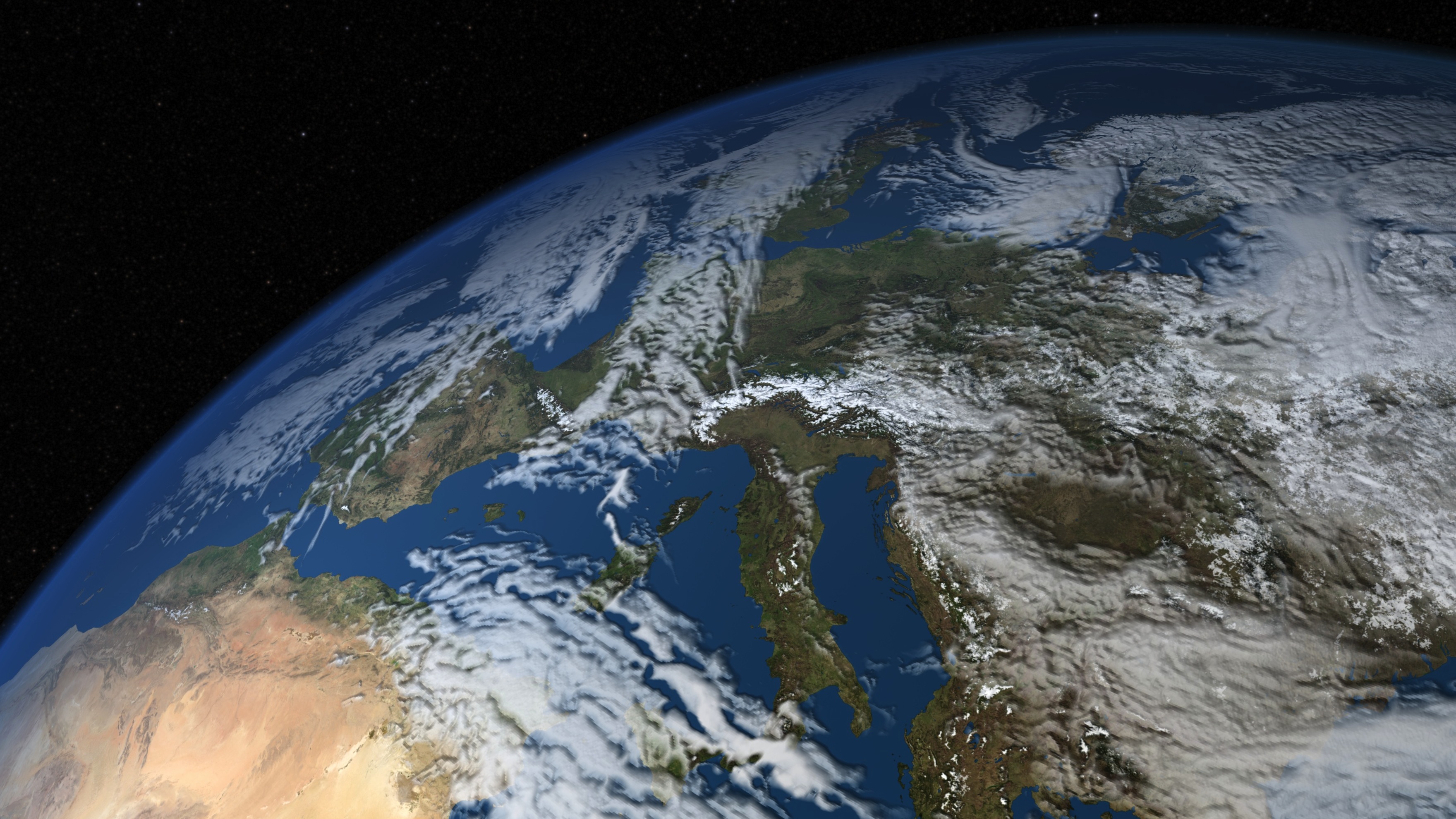
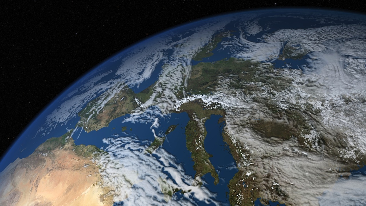
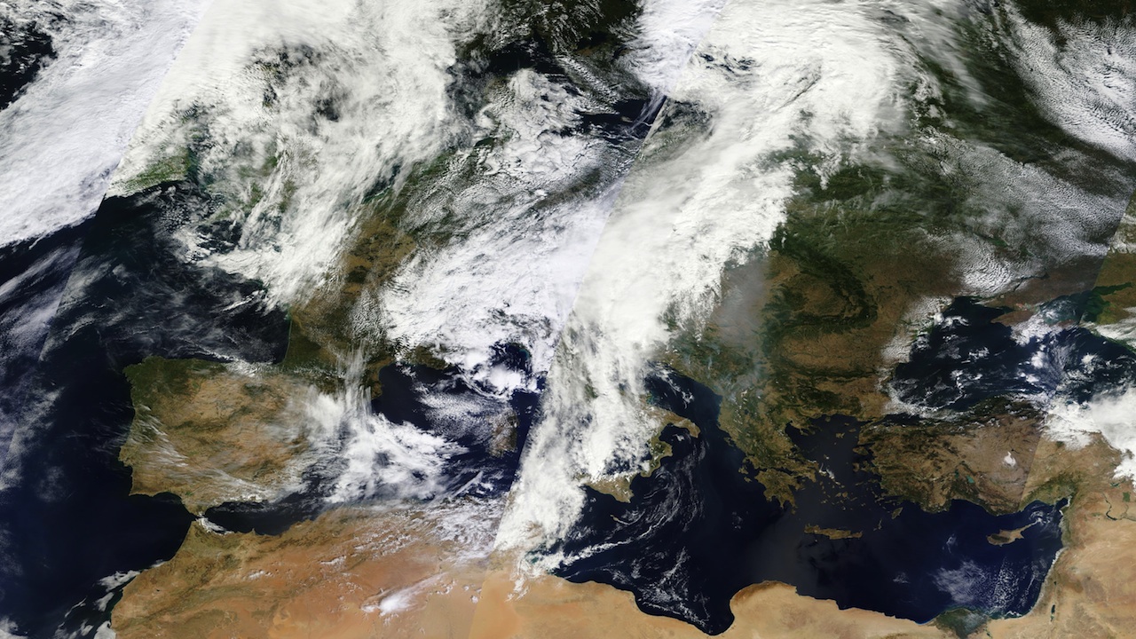
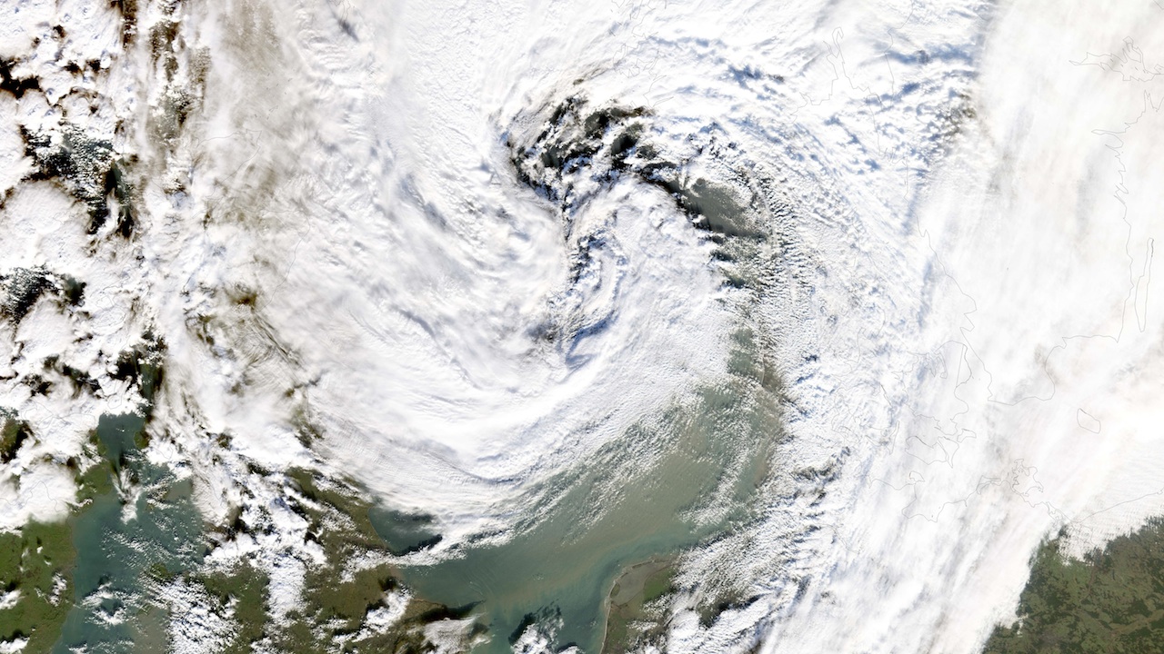
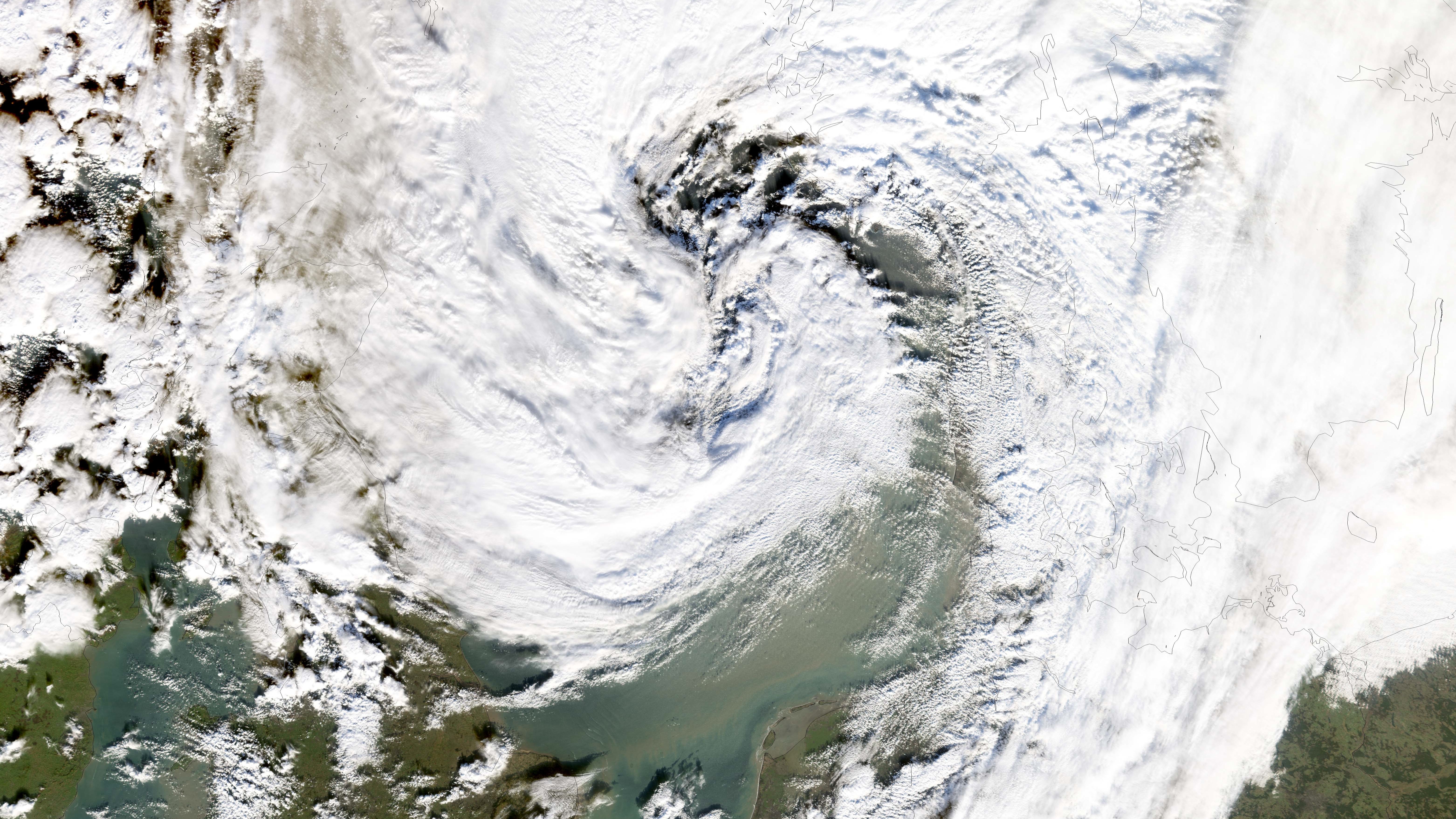
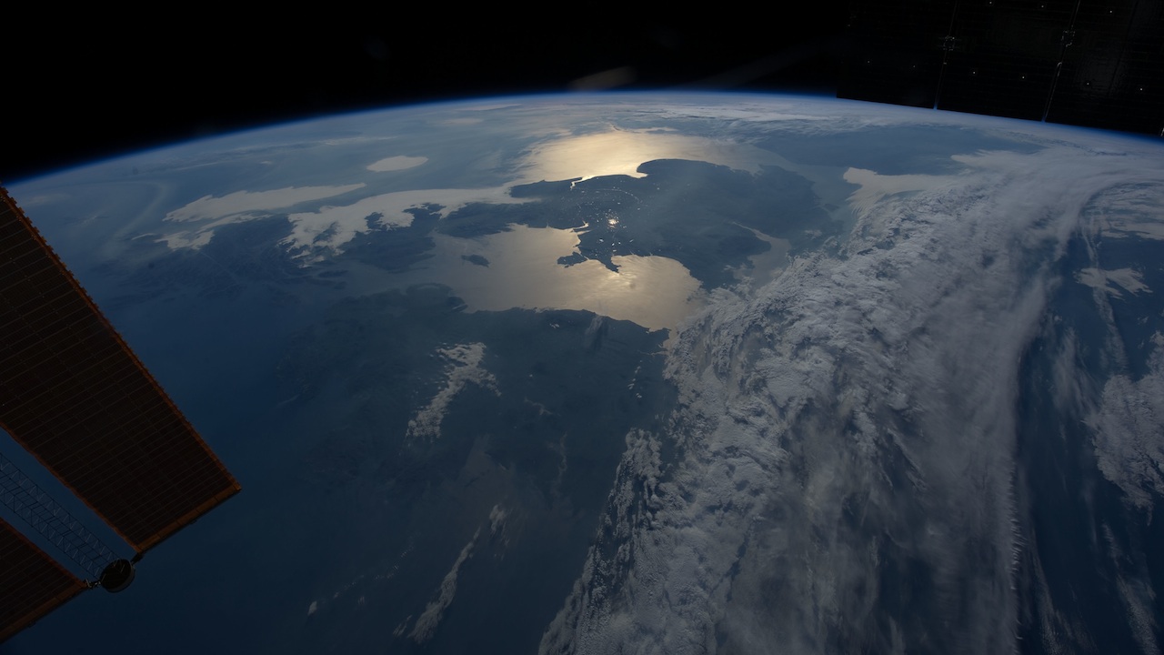
Europe owes much of its weather to prevailing winds known as the westerlies. These consistent breezes, created in part by the planet’s rotation, blow from the west, bringing rain and moisture from the Atlantic Ocean to the continent. They also influence the migration of clouds. Throughout the year, the winds carry clouds east above Europe's vegetated, and sometimes snow-covered, landscape. Using a NASA supercomputer climate model called GEOS-5, scientists are able to simulate cloud movement over Europe and other parts of the world. Such models can help improve scientists' understanding of Earth's climate. In GEOS-5 simulations of Europe’s atmosphere, computer-generated clouds take on the appearance and motion of clouds imaged by Earth-observing satellites and astronauts aboard the International Space Station. Watch the video to see 15 days of simulated cloud changes across Europe.

Virtual Sky
Related Story
Story Credits
Visualizers/Animators:
Alex Kekesi (Global Science and Technology, Inc.)
Ernie Wright (USRA)
Producer:
Ryan Fitzgibbons (USRA)
Lead Scientist:
William Putman (NASA/GSFC)
Lead Writer:
Patrick Lynch (Wyle Information Systems)
Alex Kekesi (Global Science and Technology, Inc.)
Ernie Wright (USRA)
Producer:
Ryan Fitzgibbons (USRA)
Lead Scientist:
William Putman (NASA/GSFC)
Lead Writer:
Patrick Lynch (Wyle Information Systems)
Please give credit for this item to:
NASA's Goddard Space Flight Center
Satellite images courtesy of NASA Earth Observatory
International Space Station image courtesy of NASA/Johnson Space Center
NASA's Goddard Space Flight Center
Satellite images courtesy of NASA Earth Observatory
International Space Station image courtesy of NASA/Johnson Space Center
Short URL to share this page:
https://svs.gsfc.nasa.gov/11347
Keywords:
SVS >> App
NASA Science >> Earth
https://svs.gsfc.nasa.gov/11347
Keywords:
SVS >> App
NASA Science >> Earth


